2000s (21st Century) Maps of Hebron, Connecticut
Explore 20 historic maps of Hebron from the 2000s (21st Century). These maps offer a rare glimpse into what life looked like during the 2000s — showing old roads, neighborhoods, homes, and landmarks that have changed or disappeared over time.
Whether you're researching your family's past, planning a metal detecting trip, or studying how Hebron's landscape evolved across the 2000s, these high-resolution maps are a powerful tool for exploring the history of this region.
- Focus on a specific era: All maps on this page are from the 2000s, giving you a focused view of this time period.
- See what’s changed: Compare century-old streets, trails, and buildings to today's modern landscape using overlays and satellite layers.
- Research with precision: Use these maps for genealogy, historical research, land use analysis, or educational projects.
- View, download, or print: Maps are fully viewable online in high resolution, and can be downloaded or printed for your own records.
Start exploring Hebron's history through authentic maps from the 2000s. This is your window into the past.
Hebron, CT maps
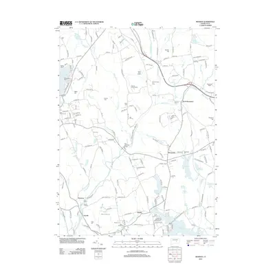
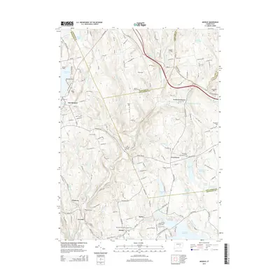
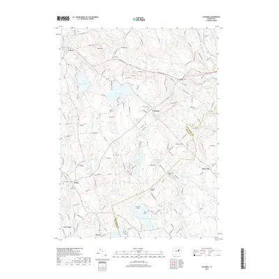
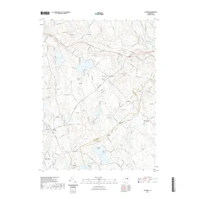
(20)- 2012 Map of Columbia, 2012 Print
 2012 Columbia2012 Print · USGSCovers Hebron, including Mansfield, Windham, and other nearby areas
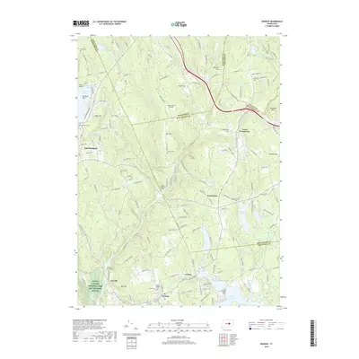
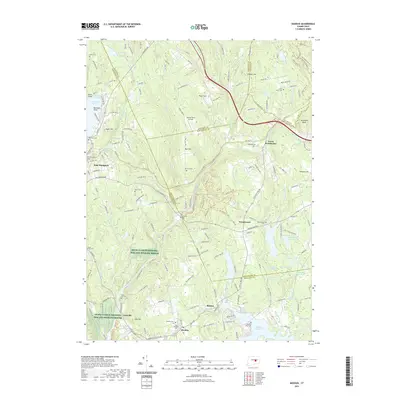
 - 2012 Map of Moodus, 2012 Print
 2012 Moodus2012 Print · USGSCovers Hebron, including Colchester, East Hampton, and other nearby areas
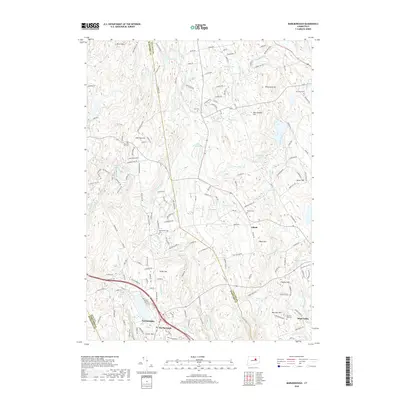
 - 2012 Map of Colchester, 2012 Print
 2012 Colchester2012 Print · USGSCovers Hebron, including Colchester, East Haddam, and other nearby areas
 - 2012 Map of Marlborough, 2012 Print
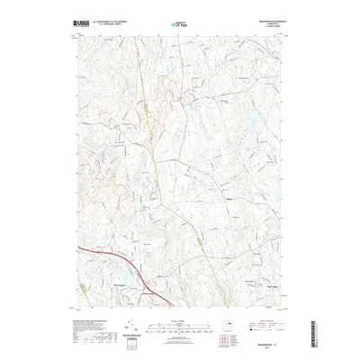
 2012 Marlborough2012 Print · USGSCovers Hebron, including Manchester, Glastonbury, and other nearby areas
 - 2015 Map of Colchester, 2015 Print
 2015 Colchester2015 Print · USGSCovers Hebron, including Colchester, East Haddam, and other nearby areas
 - 2015 Map of Marlborough, 2015 Print
 2015 Marlborough2015 Print · USGSCovers Hebron, including Manchester, Glastonbury, and other nearby areas
 - 2015 Map of Columbia, 2015 Print
 2015 Columbia2015 Print · USGSCovers Hebron, including Mansfield, Windham, and other nearby areas
 - 2015 Map of Moodus, 2015 Print
 2015 Moodus2015 Print · USGSCovers Hebron, including Colchester, East Hampton, and other nearby areas
 - 2018 Map of Marlborough, 2018 Print
 2018 Marlborough2018 Print · USGSCovers Hebron, including Manchester, Glastonbury, and other nearby areas
 - 2018 Map of Columbia, 2018 Print
 2018 Columbia2018 Print · USGSCovers Hebron, including Mansfield, Windham, and other nearby areas
 - 2018 Map of Moodus, 2018 Print
 2018 Moodus2018 Print · USGSCovers Hebron, including Colchester, East Hampton, and other nearby areas
 - 2018 Map of Colchester, 2018 Print
 2018 Colchester2018 Print · USGSCovers Hebron, including Colchester, East Haddam, and other nearby areas
 - 2021 Map of Colchester, 2021 Print
 2021 Colchester2021 Print · USGSCovers Hebron, including Colchester, East Haddam, and other nearby areas
 - 2021 Map of Columbia, 2021 Print
 2021 Columbia2021 Print · USGSCovers Hebron, including Mansfield, Windham, and other nearby areas
 - 2021 Map of Moodus, 2021 Print
 2021 Moodus2021 Print · USGSCovers Hebron, including Colchester, East Hampton, and other nearby areas
 - 2021 Map of Marlborough, 2021 Print
 2021 Marlborough2021 Print · USGSCovers Hebron, including Manchester, Glastonbury, and other nearby areas
 - 2024 Map of Colchester, 2024 Print
 2024 Colchester2024 Print · USGSColchester and its surrounding hamlets are shown in the twenty-first century, balancing modern growth with well-preserved historic burial grounds and water resources. Genealogists can trace family sites at the Old Jewish Cem, Cockle Hill Cem, and Paugwonk Baptist Cem Number 1.
 - 2024 Map of Columbia, 2024 Print
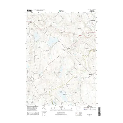
 2024 Columbia2024 Print · USGSThe hill country of eastern Connecticut is captured here during the 2020s, showing a landscape shaped by glacial ponds and early rail history. Genealogists and hikers can trace the Airline Trl, locate the Columbia Burying Grounds, or find old family sites near Chestnut Hill and Amston Lake.
 - 2024 Map of Moodus, 2024 Print
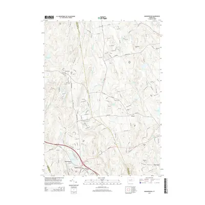
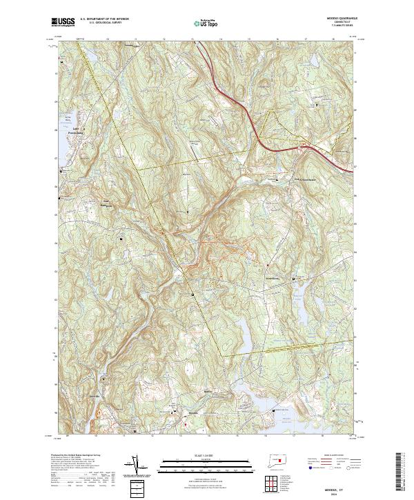 2024 Moodus2024 Print · USGSMiddlesex County's river-driven industrial heritage is preserved in this modern survey of the Moodus and Salmon River valleys. Genealogists and historians can locate numerous old burying grounds like Young Street Cem, Tartia Cem, and Bashan Lake Cem alongside the historic watercourses.
 - 2024 Map of Marlborough, 2024 Print
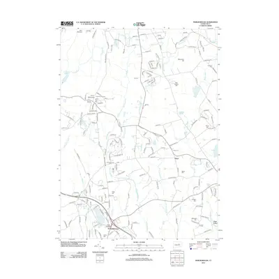
 2024 Marlborough2024 Print · USGSMarlborough and the village of Gilead appear here in the early 21st century, showing a landscape where modern development meets deep-rooted history. Genealogists can trace family landmarks through numerous sites like John Tom Hill Cem, Marlboro Cem, and Townsend Cem.
End of results
Showing maps 1-20 of 20
Top cities near Hebron
- Manchester historical maps
- East Hartford historical maps
- Middletown historical maps
- Glastonbury historical maps
- Vernon historical maps
- Mansfield historical maps
See more
Top neighborhoods of Hebron
Frequently asked questions
- What are the different types of historical maps available for Hebron?
- What is the oldest map of Hebron?
- Where can I purchase historical maps of Hebron for my home or office?
- Where can I download high-res historical maps of Hebron?
- Are there historical topographic maps available for Hebron?
- Is there historical aerial imagery available for Hebron?
- Where are historical maps of Hebron sourced from?