Old Maps of Ebbs Corner, Suffield for Academic Research
Study the evolution of Ebbs Corner with 27 high-resolution historic maps. Whether you're teaching, researching, or modeling changes in land use, these maps provide essential visual documentation of urban, environmental, and geographic change.
- Analyze long-term change: Track patterns in development, transportation, and natural features.
- Ideal for environmental or urban studies: Support academic projects with primary historical map data.
- Use in the classroom or lab: Educators and researchers rely on these maps to bring historical context to life.
These maps are a powerful tool for teaching, research, and visualizing how Ebbs Corner has changed over the decades.
Ebbs Corner, Suffield maps
(27)- 1886 Map of Springfield
 1886 Springfield1886 Print · USGSThe Connecticut River valley thrives as a rail and industrial powerhouse at the end of the nineteenth century. Genealogists and researchers can trace local families and industry in hubs like Chicopee Falls, Ireland Parish, and the growing streetscapes of Brightwood.
 - 1889 Map of Springfield
 1889 Springfield1889 Print · USGSThe Connecticut River valley thrives as an industrial powerhouse in the 1880s, fueled by a dense network of water power and rail. Genealogists and historians can trace the foundations of Holyoke and Springfield, or find smaller settlements like Baptist Village and Mittineague.
 - 1893 Map of Springfield
 1893 Springfield1893 Print · USGSThe Pioneer Valley at the end of the nineteenth century centers on the bustling riverfronts of Springfield and Holyoke. Genealogists and historians can trace the rail-connected neighborhoods of Indian Orchard, the distinct Shakers settlement, and early industries along the Chicopee River.
 - 1895 Map of Springfield
 1895 Springfield1895 Print · USGSThe Connecticut River valley thrives in the late 1800s as a powerhouse of rail-side industry and varied agricultural settlements. Researchers can trace the early layouts of Ireland Parish, the Shaker community, and the mills of Chicopee Falls.11 unique versions available
 - 1896 Map of Holyoke
 1896 Holyoke1896 Print · USGSThe Pioneer Valley and the eastern Berkshire foothills thrive in the 1890s as a complex network of industrial towns and upland farming communities. Historians can trace early infrastructure through the Bisbee Mill, the Agricultural College, and the prominent Ox Bow on the Connecticut River.
 - 1897 Map of Holyoke
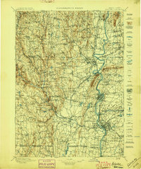 1897 Holyoke1897 Print · USGSThe Pioneer Valley and surrounding highlands thrive in the 1890s, caught here at the height of the region's industrial and agricultural development. Genealogists and historians can trace family roots through dozens of hill towns and river settlements, from Agricultural College in Amherst to the mills of Holyoke and the remote tracks of the Athol Br. R. R..
 - 1901 Map of Holyoke
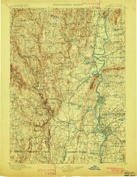 1901 Holyoke1901 Print · USGSThe Pioneer Valley and surrounding highlands thrive at the turn of the century, showing a landscape defined by mill towns and early rail networks. Genealogists and historians can trace old homesteads and local landmarks like Bisbee Mill, South Ferry, and the Agricultural College.4 unique versions available
 - 1920 Map of Springfield
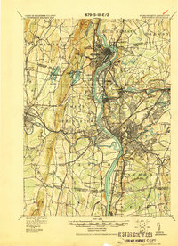 1920 Springfield1920 Print · USGSGreater Springfield and the Pioneer Valley are captured here during a period of intense industrial and rail expansion. Genealogists and local historians can trace the foundations of neighborhoods like Indian Orchard, locate the Shaker Sta, or study the early rail alignments of the Boston and Albany RR.
 - 1928 Map of Mittineague
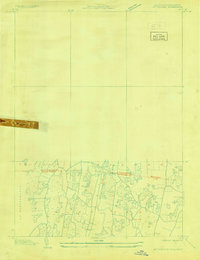 1928 Mittineague1928 Print · USGSThe Connecticut and Massachusetts borderlands appear here in the late twenties during an early aerial survey of the region. Researchers can trace the path of the N Y N H & H railroad through Suffield and locate rural landmarks like Buck Hill and Still Brook.
 - 1933 Map of Feeding Hills
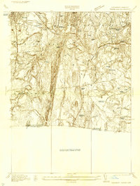 1933 Feeding Hills1933 Print · USGSThe Lower Pioneer Valley in the early thirties reveals a landscape shaped by the ridge of Proven Mountain and the winding Westfield River. Genealogists and historians can locate legacy institutions like the Westfield State Sanatorium and trace local neighborhoods from Frog Bottom to Feeding Hills.
 - 1938 Map of West Springfield
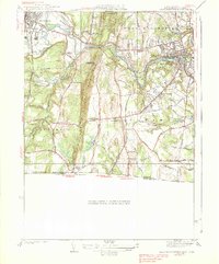 1938 West Springfield1938 Print · USGSHampden County's river valleys and ridgelines are captured here in the 1930s during a period of steady institutional and residential growth. Genealogists and local historians can trace the foundations of WESTFIELD and AGAWAM, locating family landmarks like Shea Corner, St James Ch, and the Suffield Street Sch.3 unique versions available
 - 1943 Map of Holyoke
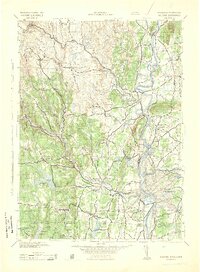 1943 Holyoke1943 Print · USGSThe Pioneer Valley and the eastern Berkshires are captured here in the early 1940s, showing a robust network of river-side industry and hill-country forests. Researchers can locate vanished landmarks and institutional grounds like Northampton State Hospital, Barnes Airport, and the Nat Gd Rifle Range.
 - 1944 Map of West Springfield, 1954 Print
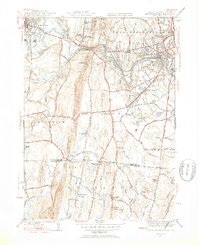 1944 West Springfield1954 Print · USGSThe Pioneer Valley south of Westfield and West Springfield is shown here during the mid-forties, capturing the intersection of industrial rail lines and rural hamlets. Local historians can trace old property boundaries near St James Ch, the Paucatuck Cem, and crossroads like Hosmer Corner.5 unique versions available
 - 1945 Map of West Springfield
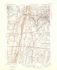 1945 West Springfield1945 Print · USGSThe Westfield River valley during the 1940s reveals a mix of industrial riverfront and rising upland ridges along the Connecticut border. Researchers can trace family history through local landmarks like Kings Cem, the Hastings Hill Sch, and old intersections at Hosmer Corner.2 unique versions available
 - 1948 Map of Albany, 1951 Print
 1948 Albany1951 Print · USGSThe Hudson and Connecticut River valleys are captured here in the late 1940s, showing the vital rail and water corridors of the Northeast. You can trace the Boston and Maine tracks past Mt Greylock or locate early settlements like Great Barrington and Bennington.
 - 1956 Map of Albany, 1968 Print
 1956 Albany1968 Print · USGSThe industrial heart of the Northeast is revealed in the mid-1950s, from the Hudson Valley to the Connecticut River. Researchers can trace the legacy of the Quabbin Reservoir, locate Westover Air Force Base, or follow the Rutland RR through the Green Mountains.2 unique versions available
 - 1957 Map of Albany
 1957 Albany1957 Print · USGSThe Tri-State region and Connecticut River Valley are captured here during a period of significant postwar growth and infrastructure expansion. Genealogists and historians can trace the rail-and-river economy through landmarks like the Boston and Maine railroad, Quabbin Reservoir, and Westover Air Force Base.
 - 1958 Map of West Springfield, 1960 Print
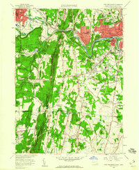 1958 West Springfield1960 Print · USGSThe Lower Pioneer Valley in the late fifties shows a landscape of post-war growth alongside long-standing riverfront industry. Local researchers can trace family roots through neighborhood landmarks like St Thomas School, the Beth Israel Cemetery, and regional sites like Bowles-Agawam Airport.5 unique versions available
 - 1959 Map of Albany
 1959 Albany1959 Print · USGSThe Hudson and Connecticut River valleys are captured here during the late fifties, showing the region's dense rail networks and massive water projects. Researchers can trace the New York State Thruway or locate local landmarks like Mt Greylock and the Quabbin Reservoir.
 - 1962 Map of Albany
 1962 Albany1962 Print · USGSThe Hudson and Connecticut River valleys meet the Green Mountains and Berkshires in this mid-century overview of the Northeast. Genealogists and historians can trace the industrial hearts of Albany and Springfield or locate features like Quabbin Reservoir and Westover Air Force Base.
 - 1975 Map of West Springfield, 1981 Print
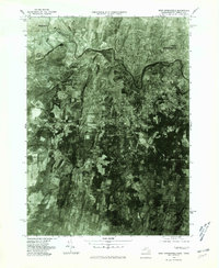 1975 West Springfield1981 Print · USGSHampden County's landscape in the mid-seventies is captured in this detailed aerial study of the Connecticut River Valley. Researchers can trace land use around Provin Mountain and locate community hubs like Hosmer Corner and West Agawam.
 - 1985 Map of Holyoke, 1986 Print
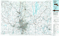 1985 Holyoke1986 Print · USGSThe Pioneer Valley and surrounding uplands appear here in the mid-eighties, showing a landscape defined by the Connecticut River and modern highway expansion. Genealogists and historians can trace rail lines like the Central Vermont Railway and locate regional landmarks from Mount Tom State Reservation to the Quabbin Reservoir.2 unique versions available
 - 2012 Map of West Springfield, 2012 Print
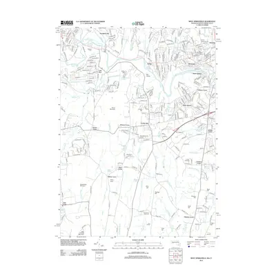 2012 West Springfield2012 Print · USGSSouthern Massachusetts and northern Connecticut communities are captured here in the early twenty-first century as suburban growth surrounds old village centers. Researchers can pinpoint historic family landmarks like Halladay Corner and Shea Corner or locate the Zions Hill Cem.
 - 2015 Map of West Springfield, 2015 Print
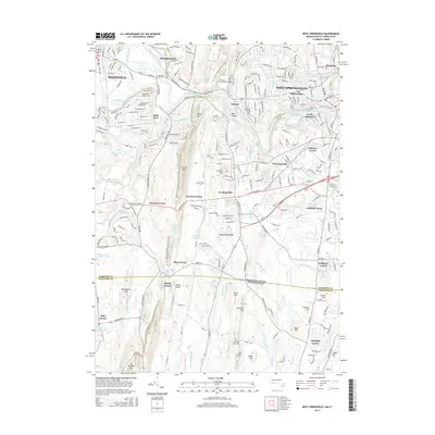 2015 West Springfield2015 Print · USGSHampden County and the Connecticut border are captured here in the mid-2010s, showing the settled valleys and prominent ridges of the Westfield River region. Researchers can trace local landmarks like Saint Thomas Cem, the Springfield Aqueduct, and the winding New England National Scenic Trail.
 - 2018 Map of West Springfield, 2018 Print
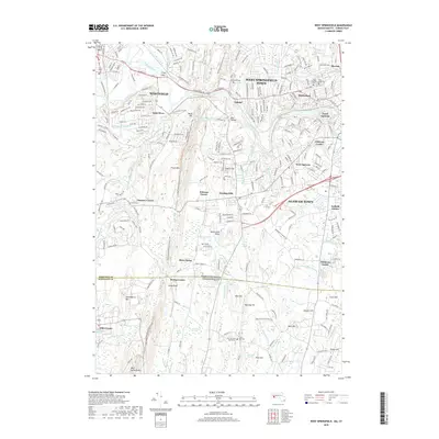 2018 West Springfield2018 Print · USGSThe suburban and agricultural lands west of the Connecticut River are documented here in the late twenty-teens. Researchers can trace the New England National Scenic Trail across the Metacomet Ridge and locate neighborhoods like Mittineague and Feeding Hills.
Showing maps 1-25 of 27
Top cities near Ebbs Corner
- Springfield historical maps
- Hartford historical maps
- West Hartford historical maps
- Manchester historical maps
- Chicopee historical maps
- East Hartford historical maps
See more
Frequently asked questions
- What are the different types of historical maps available for Ebbs Corner?
- What is the oldest map of Ebbs Corner?
- Where can I purchase historical maps of Ebbs Corner for my home or office?
- Where can I download high-res historical maps of Ebbs Corner?
- Are there historical topographic maps available for Ebbs Corner?
- Is there historical aerial imagery available for Ebbs Corner?
- Where are historical maps of Ebbs Corner sourced from?