2000s (21st Century) Maps of Fairfield, Connecticut
Explore 15 historic maps of Fairfield from the 2000s (21st Century). These maps offer a rare glimpse into what life looked like during the 2000s — showing old roads, neighborhoods, homes, and landmarks that have changed or disappeared over time.
Whether you're researching your family's past, planning a metal detecting trip, or studying how Fairfield's landscape evolved across the 2000s, these high-resolution maps are a powerful tool for exploring the history of this region.
- Focus on a specific era: All maps on this page are from the 2000s, giving you a focused view of this time period.
- See what’s changed: Compare century-old streets, trails, and buildings to today's modern landscape using overlays and satellite layers.
- Research with precision: Use these maps for genealogy, historical research, land use analysis, or educational projects.
- View, download, or print: Maps are fully viewable online in high resolution, and can be downloaded or printed for your own records.
Start exploring Fairfield's history through authentic maps from the 2000s. This is your window into the past.
Fairfield, CT maps
(15)- 2012 Map of Bridgeport, 2012 Print
 2012 Bridgeport2012 Print · USGSCovers Fairfield, including Bridgeport, Stratford, and other nearby areas
 - 2012 Map of Sherwood Point, 2012 Print
 2012 Sherwood Point2012 Print · USGSCovers Fairfield, including Huntington, Smithtown, and other nearby areas
 - 2012 Map of Westport, 2012 Print
 2012 Westport2012 Print · USGSCovers Fairfield, including Westport, Weston, and other nearby areas
 - 2015 Map of Sherwood Point, 2015 Print
 2015 Sherwood Point2015 Print · USGSCovers Fairfield, including Huntington, Smithtown, and other nearby areas
 - 2015 Map of Bridgeport, 2015 Print
 2015 Bridgeport2015 Print · USGSCovers Fairfield, including Bridgeport, Stratford, and other nearby areas
 - 2015 Map of Westport, 2015 Print
 2015 Westport2015 Print · USGSCovers Fairfield, including Westport, Weston, and other nearby areas
 - 2018 Map of Sherwood Point, 2018 Print
 2018 Sherwood Point2018 Print · USGSCovers Fairfield, including Huntington, Smithtown, and other nearby areas
 - 2018 Map of Westport, 2018 Print
 2018 Westport2018 Print · USGSCovers Fairfield, including Westport, Weston, and other nearby areas
 - 2018 Map of Bridgeport, 2018 Print
 2018 Bridgeport2018 Print · USGSCovers Fairfield, including Bridgeport, Stratford, and other nearby areas
 - 2021 Map of Bridgeport, 2021 Print
 2021 Bridgeport2021 Print · USGSCovers Fairfield, including Bridgeport, Stratford, and other nearby areas
 - 2021 Map of Sherwood Point, 2021 Print
 2021 Sherwood Point2021 Print · USGSCovers Fairfield, including Huntington, Smithtown, and other nearby areas
 - 2021 Map of Westport, 2021 Print
 2021 Westport2021 Print · USGSCovers Fairfield, including Westport, Weston, and other nearby areas
 - 2024 Map of Sherwood Point, 2024 Print
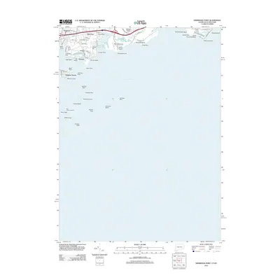
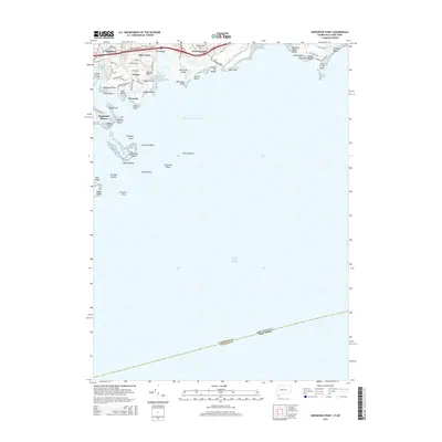
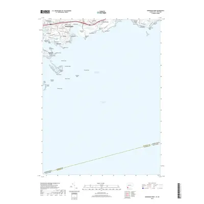
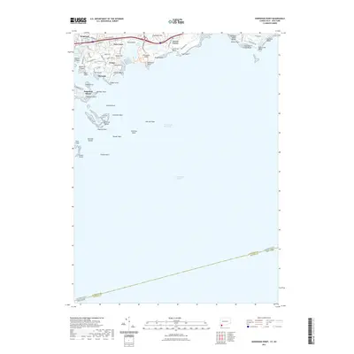
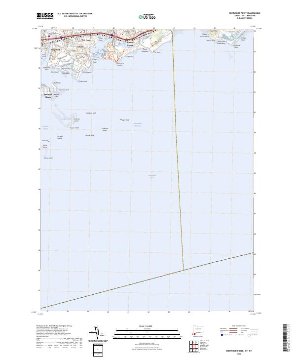 2024 Sherwood Point2024 Print · USGSThe Fairfield coast in the early twenty-first century reveals a sophisticated network of shorefront communities and protected natural spaces. Researchers can trace local landmarks from Burial Hill Beach to the residential lanes of Greens Farms and Saugatuck Shores.
 - 2024 Map of Westport, 2024 Print
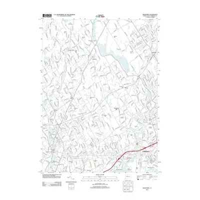
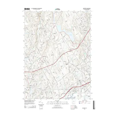
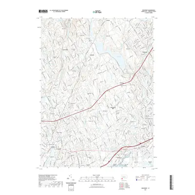
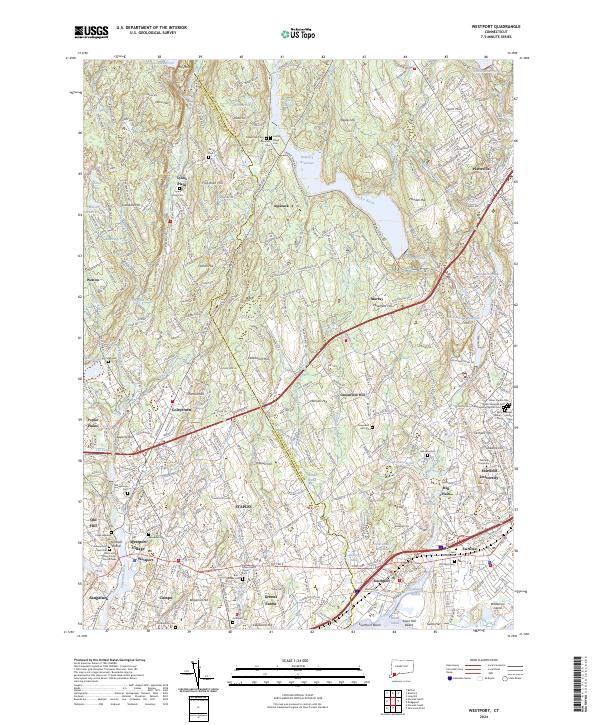 2024 Westport2024 Print · USGSThe Fairfield coast and its interior hills are shown in detail as they appear today, from the busy transit hubs to quiet upland reservoirs. Genealogists can locate numerous historic burial sites like Bikur Cholim Cem and Green Farms Upper Cem or trace the reach of Fairfield University.
 - 2024 Map of Bridgeport, 2024 Print
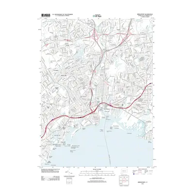
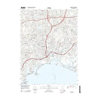
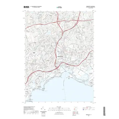
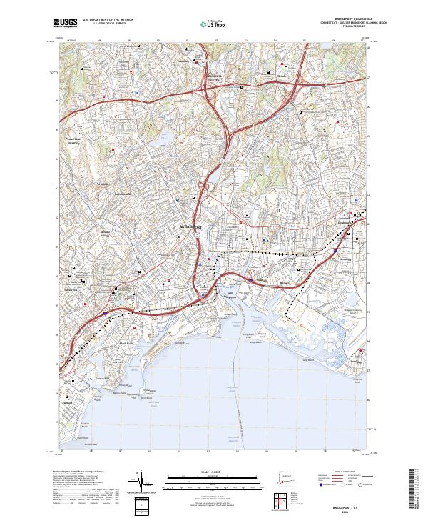 2024 Bridgeport2024 Print · USGSCoastal Connecticut comes alive in this current-era survey of the Bridgeport shoreline and its surrounding communities. Researchers can trace dozens of local burial sites, from Mountain Grove Cem to the Old Burying Ground, alongside landmarks like the Fairfield County Courthouse.
End of results
Showing maps 1-15 of 15
Top cities near Fairfield
- Brookhaven historical maps
- Oyster Bay historical maps
- Huntington historical maps
- Bridgeport historical maps
- Stamford historical maps
- Smithtown historical maps
See more
Top neighborhoods of Fairfield
- Little Danbury historical maps
- Melville Village historical maps
- Stratfield historical maps
- Tunxis Hill historical maps
- Greenfield Hill historical maps
- Fairfield historical maps
See more
Frequently asked questions
- What are the different types of historical maps available for Fairfield?
- What is the oldest map of Fairfield?
- Where can I purchase historical maps of Fairfield for my home or office?
- Where can I download high-res historical maps of Fairfield?
- Are there historical topographic maps available for Fairfield?
- Is there historical aerial imagery available for Fairfield?
- Where are historical maps of Fairfield sourced from?