2020s Maps of Thomaston, Connecticut
Explore 6 historic maps of Thomaston from the 2020s. These maps offer a rare glimpse into what life looked like during the 2020s — showing old roads, neighborhoods, homes, and landmarks that have changed or disappeared over time.
Whether you're researching your family's past, planning a metal detecting trip, or studying how Thomaston's landscape evolved across the 2020s, these high-resolution maps are a powerful tool for exploring the history of this region.
- Focus on a specific era: All maps on this page are from the 2020s, giving you a focused view of this time period.
- See what’s changed: Compare century-old streets, trails, and buildings to today's modern landscape using overlays and satellite layers.
- Research with precision: Use these maps for genealogy, historical research, land use analysis, or educational projects.
- View, download, or print: Maps are fully viewable online in high resolution, and can be downloaded or printed for your own records.
Start exploring Thomaston's history through authentic maps from the 2020s. This is your window into the past.
Thomaston, CT maps
(6)- 2021 Map of Thomaston, 2021 Print
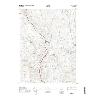 2021 Thomaston2021 Print · USGSCovers Thomaston, including Watertown, Wolcott, and other nearby areas
 - 2021 Map of Waterbury, 2021 Print
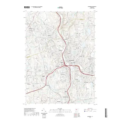 2021 Waterbury2021 Print · USGSCovers Thomaston, including Waterbury, Naugatuck, and other nearby areas
 - 2021 Map of Litchfield, 2021 Print
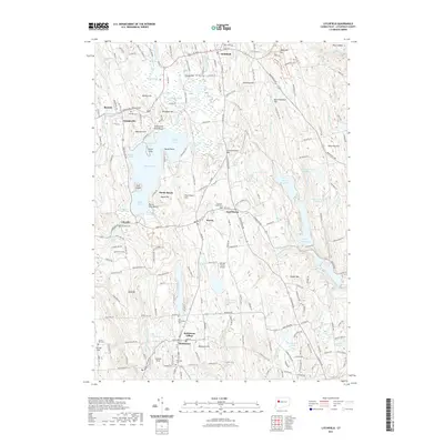 2021 Litchfield2021 Print · USGSCovers Thomaston, including Watertown, Litchfield, and other nearby areas
 - 2024 Map of Thomaston, 2024 Print
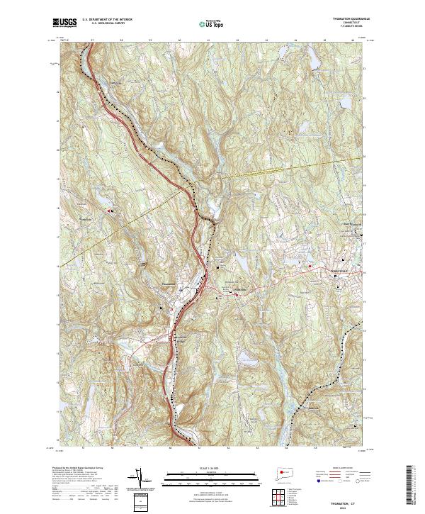 2024 Thomaston2024 Print · USGSThe Naugatuck River valley and the industrial heights of Plymouth are documented in this recent survey. Local researchers can trace family plots at Hillside Cem or explore early transport links through Reynolds Bridge and the small settlement of Hancock.
 - 2024 Map of Litchfield, 2024 Print
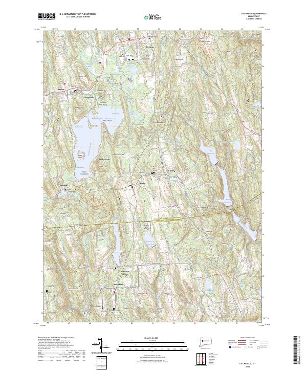 2024 Litchfield2024 Print · USGSLitchfield and Bethlehem anchor this Connecticut landscape in the mid-2020s, showing a region defined by its historic villages and glacial lakes. Local historians can trace ancestral sites at Bantam Burying Ground and Footville Burying Ground, or locate small landmarks like Whelan Farms Airport.
 - 2024 Map of Waterbury, 2024 Print
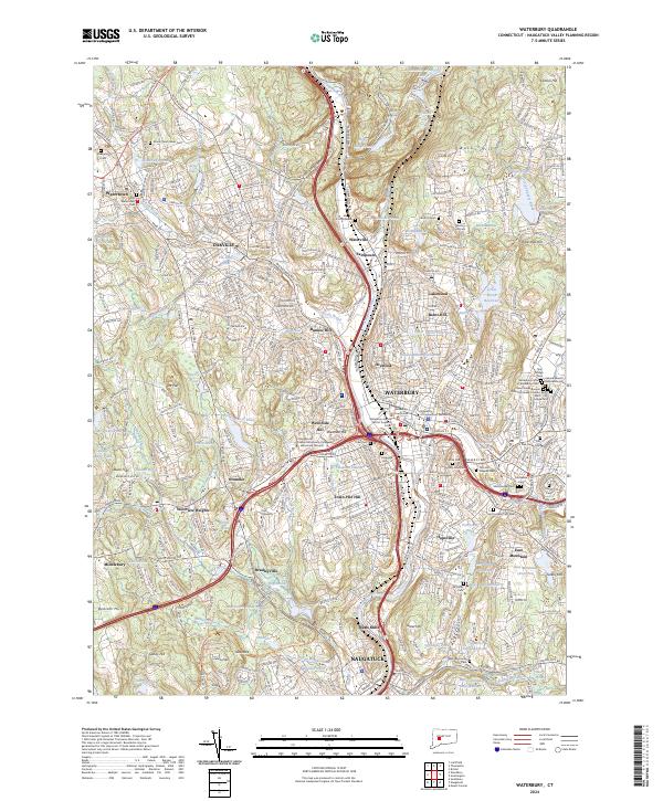 2024 Waterbury2024 Print · USGSModern-day Waterbury and the Naugatuck Valley are shown here in a period of significant urban density and infrastructure development. Researchers can trace local genealogy and institutional history through Holy Land Cem, Post University, and the Waterbury Courthouse.
End of results
Showing maps 1-6 of 6
Top cities near Thomaston
- Waterbury historical maps
- Bristol historical maps
- Hamden historical maps
- Wallingford historical maps
- Southington historical maps
- Torrington historical maps
See more
Top neighborhoods of Thomaston
Frequently asked questions
- What are the different types of historical maps available for Thomaston?
- What is the oldest map of Thomaston?
- Where can I purchase historical maps of Thomaston for my home or office?
- Where can I download high-res historical maps of Thomaston?
- Are there historical topographic maps available for Thomaston?
- Is there historical aerial imagery available for Thomaston?
- Where are historical maps of Thomaston sourced from?