Old Maps of East Thompson, Thompson for Metal Detecting
Plan your next treasure hunt with 22 historic maps of East Thompson. Find old homesites, ghost towns, trails, and gathering spots that may be lost to time — perfect for identifying promising metal detecting locations.
- Locate forgotten sites: Uncover places like long-lost settlements, abandoned rail lines, or gathering spots.
- Plan better hunts: Use map overlays combined with LiDAR or satellite views to narrow in on historically rich areas.
- Made for detectorists: Thousands of hobbyists use these maps to discover relics, coins, and hidden history.
Use these historic maps to boost your research and find new opportunities beneath the surface of East Thompson.
East Thompson, Thompson maps
(22)- 1889 Map of Webster
 1889 Webster1889 Print · USGSSouthern Worcester County and the Connecticut borderlands are shown here in the 1880s, when textile power and steam rail defined the region. Local historians can trace the early layouts of Webster, Oxford, and Rochdale, along with family landmarks like Mugget Hill.
 - 1892 Map of Webster
 1892 Webster1892 Print · USGSWorcester County mill towns and rail junctions thrive in the 1890s as industrial centers along the French River. Genealogists and historians can trace the early footprints of Webster and Oxford, including vanished clusters like Merino Village and Chaseville.9 unique versions available
 - 1908 Map of Quinsigamond
 1908 Quinsigamond1908 Print · USGSCentral Massachusetts and its bordering states are seen here in the early twentieth century as industry and transit reshaped the Blackstone Valley. Genealogists and historians can trace the early footprints of Worcester, the expansion of the Wachusett Reservoir, and rail lines like the Boston and Albany Railroad.3 unique versions available
 - 1921 Map of Webster
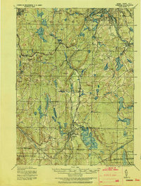 1921 Webster1921 Print · USGSThe industrial valleys and hill towns of southern Worcester County are seen here just after the Great War. Genealogists can trace the rail-centered growth of Webster and Auburn Sta. or locate old village centers like Cherry Valley and Rochdale.
 - 1943 Map of Quinsigamond
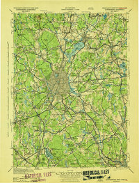 1943 Quinsigamond1943 Print · USGSCentral Massachusetts and its bordering states appear here during the Second World War as a powerhouse of rail infrastructure and public institutions. Researchers can trace the legacy of the region through landmarks like Grafton State Hospital, the Wachusett Reservoir, and the deep industrial roots of the Blackstone River.
 - 1946 Map of Oxford
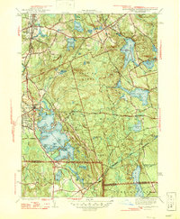 1946 Oxford1946 Print · USGSThe Massachusetts and Rhode Island borderlands are captured here in the mid-forties, showing the complex shorelines of Lake Chaubunagungamaug. Researchers can trace the CENTRAL TURNPIKE, early lakeside colonies at Colonial Park, and the wooded expanse of the Douglas Cedar Swamp.2 unique versions available
 - 1948 Map of Boston
 1948 Boston1948 Print · USGSEastern Massachusetts and southern New Hampshire appear at an industrial peak in the late 1940s, just as suburban growth began to accelerate. Genealogists and historians can trace rail lines like the Boston and Albany RR or locate coastal landmarks like Graves Lighthouse and Fort Devens.2 unique versions available
 - 1953 Map of Oxford, 1954 Print
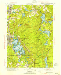 1953 Oxford1954 Print · USGSSouthern Worcester County was a busy intersection of industry and nature in the early fifties. Trace the rail lines of the New York New Haven and Hartford and locate landmarks like the St Joseph Cem and the sprawling Lake Chaubunagungamaug.3 unique versions available
 - 1956 Map of Boston, 1967 Print
 1956 Boston1967 Print · USGSThe Massachusetts coastline and industrial interior are seen here during the mid-century peak of suburban and highway expansion. Researchers can trace historic harbor defenses like Fort Revere, local landmarks such as Faneuil Hall, and the vast Parker River National Wildlife Refuge.6 unique versions available
 - 1958 Map of Boston
 1958 Boston1958 Print · USGSEastern Massachusetts and southern New Hampshire are shown at the height of the industrial era, before the full expansion of the interstate system. Trace coastal defenses at Fort Warren, historic rail lines like the Boston and Maine, and the development of the Mass. 128 corridor.2 unique versions available
 - 1961 Map of Boston
 1961 Boston1961 Print · USGSThe Massachusetts coastline and its industrial interior are detailed here in the mid-twentieth century, from the Monadnock highlands to Cape Cod. Researchers can trace the rail routes of the Boston and Maine or locate landmarks like Fort Devens and the Wachusett Reservoir.2 unique versions available
 - 1964 Map of Oxford
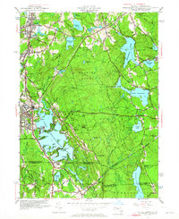 1964 Oxford1964 Print · USGSThe tri-state border region of Massachusetts, Connecticut, and Rhode Island comes alive in this mid-century survey. Genealogists and researchers can map family plots at St Joseph Cem or trace the winding shores of Lake Chaubunagungamaug.
 - 1969 Map of Oxford, 1971 Print
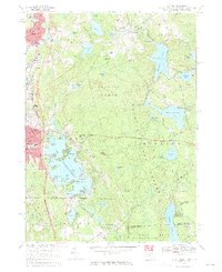 1969 Oxford1971 Print · USGSThe tri-state border region of Massachusetts, Connecticut, and Rhode Island is captured here in the late sixties, showcasing its industrial villages and extensive pond systems. Researchers can locate St Josephs Cemetery, trace the Penn Central line, or explore the shores of Lake Chaubunagungamaug.4 unique versions available
 - 1975 Map of Oxford, 1981 Print
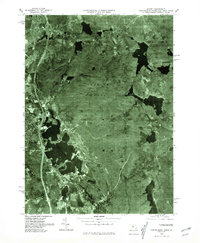 1975 Oxford1981 Print · USGSSouthern Worcester County in the mid-seventies is captured here via detailed aerial imagery. Researchers can trace the shoreline of Lake Chaubunagungamaug or survey the dense canopy of Douglas Woods and the village of Manchaug.
 - 1982 Map of Webster, 1984 Print
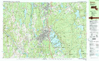 1982 Webster1984 Print · USGSCentral Massachusetts and the tri-state borderlands come into focus in the early eighties, centered on the industrial corridors of the French River. Genealogists can trace family sites at St Anthony Cem or locate the campus of Nichols College and the various mills of Webster.2 unique versions available
 - 1985 Map of Boston, 1986 Print
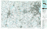 1985 Boston1986 Print · USGSThe Massachusetts urban core and its expanding suburbs are captured in the mid-eighties, showing the reach of the Mass Turnpike and Route 128. Genealogists and historians can trace the evolution of towns from Lexington to Waltham, locating landmarks like Harvard University and Minute Man National Historical Park.
 - 1989 Map of Boston
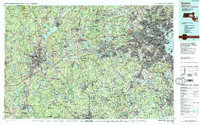 1989 Boston1989 Print · USGSGreater Boston and the central Massachusetts corridor appear here in the late eighties as suburban growth reshaped the region. Genealogists and historians can trace the transit networks between Boston, Worcester, and Quincy, while locating landmarks like Bunker Hill Monument and Wachusett Reservoir.2 unique versions available
 - 2012 Map of Oxford, 2012 Print
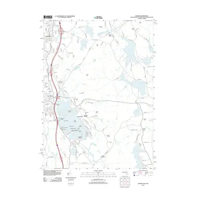 2012 Oxford2012 Print · USGSThe tri-state border region of Massachusetts, Connecticut, and Rhode Island is shown here in the early twenty-first century, centered on the iconic Lake Chaubunagungamaug. Researchers can trace local heritage through numerous burial grounds like Saint Josephs Cem or locate seasonal settlements at Wawela Park and Colonial Park.
 - 2015 Map of Oxford, 2015 Print
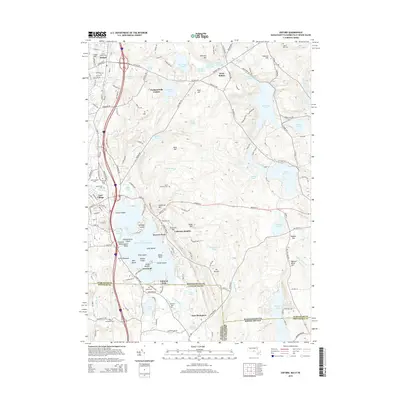 2015 Oxford2015 Print · USGSThe tri-state border region of Massachusetts, Connecticut, and Rhode Island is centered here around the expansive waters of Lake Chaubunagungamaug. Researchers can trace local lineage through numerous burial sites like Lakeside Cem or explore lakefront settlements at Wawela Park and Point Breeze.
 - 2018 Map of Oxford, 2018 Print
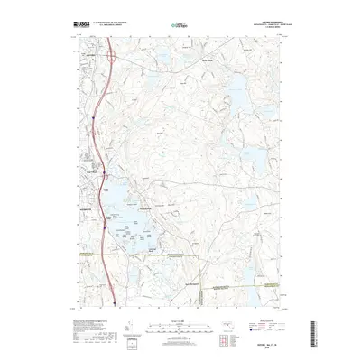 2018 Oxford2018 Print · USGSThe Massachusetts-Connecticut borderlands appear in high detail during this modern survey of the tri-state region. Genealogists and hikers can trace the complex shoreline of Lake Chaubunagungamaug or locate quiet burial grounds like Lakeside Cem and Pigeon Hill Cem.
 - 2021 Map of Oxford, 2021 Print
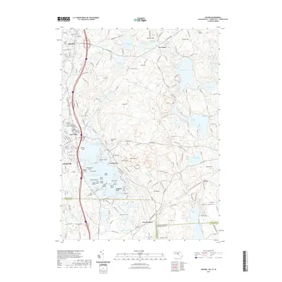 2021 Oxford2021 Print · USGSThe tri-state borderlands of Massachusetts, Connecticut, and Rhode Island are mapped here in the early twenty-first century. Genealogists can trace family sites at Sacred Heart of Jesus Cem or Bates Cem near the famous waters of Lake Chaubunagungamaug.
 - 2024 Map of Oxford, 2024 Print
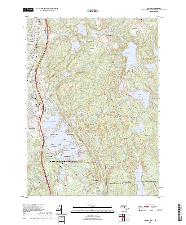 2024 Oxford2024 Print · USGSIn the tri-state corner of Massachusetts, Connecticut, and Rhode Island, this modern survey tracks the complex shoreline of Lake Chaubunagungamaug. Researchers can trace local lineage through South Cem or the industrial footprint of the Providence & Worcester RR.
End of results
Showing maps 1-22 of 22
Top cities near East Thompson
- Worcester historical maps
- Smithfield historical maps
- Westborough historical maps
- Webster historical maps
- Grafton historical maps
- Killingly historical maps
See more
Frequently asked questions
- What are the different types of historical maps available for East Thompson?
- What is the oldest map of East Thompson?
- Where can I purchase historical maps of East Thompson for my home or office?
- Where can I download high-res historical maps of East Thompson?
- Are there historical topographic maps available for East Thompson?
- Is there historical aerial imagery available for East Thompson?
- Where are historical maps of East Thompson sourced from?