2020s Maps of Cornwall, Connecticut
Explore 6 historic maps of Cornwall from the 2020s. These maps offer a rare glimpse into what life looked like during the 2020s — showing old roads, neighborhoods, homes, and landmarks that have changed or disappeared over time.
Whether you're researching your family's past, planning a metal detecting trip, or studying how Cornwall's landscape evolved across the 2020s, these high-resolution maps are a powerful tool for exploring the history of this region.
- Focus on a specific era: All maps on this page are from the 2020s, giving you a focused view of this time period.
- See what’s changed: Compare century-old streets, trails, and buildings to today's modern landscape using overlays and satellite layers.
- Research with precision: Use these maps for genealogy, historical research, land use analysis, or educational projects.
- View, download, or print: Maps are fully viewable online in high resolution, and can be downloaded or printed for your own records.
Start exploring Cornwall's history through authentic maps from the 2020s. This is your window into the past.
Cornwall, CT maps
(6)- 2021 Map of South Canaan, 2021 Print
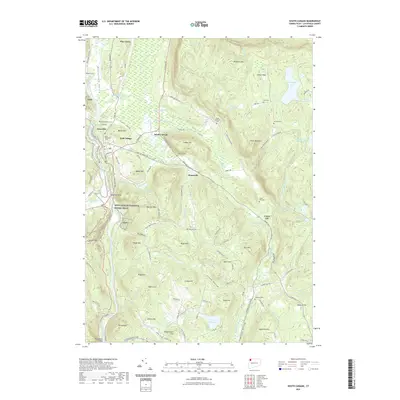 2021 South Canaan2021 Print · USGSCovers Cornwall, including Salisbury, North Canaan, and other nearby areas
 - 2021 Map of Ellsworth, 2021 Print
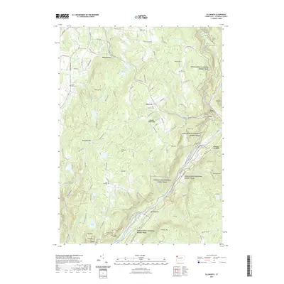 2021 Ellsworth2021 Print · USGSCovers Cornwall, including Kent, Sharon, and other nearby areas
 - 2021 Map of Cornwall, 2021 Print
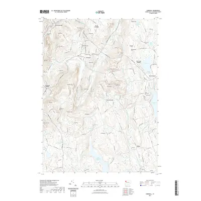 2021 Cornwall2021 Print · USGSCovers Cornwall, including Litchfield, Goshen, and other nearby areas
 - 2024 Map of South Canaan, 2024 Print
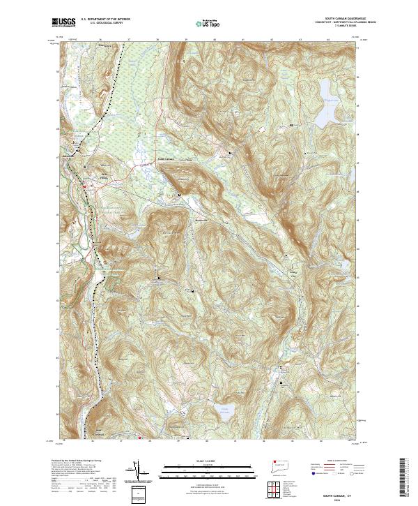 2024 South Canaan2024 Print · USGSLitchfield County's interior hills and the Housatonic riverfront are captured here in the early twenty-first century. Genealogists and local historians can locate numerous burial sites like Sand Hill Cem and Lower City Cem, or trace the path of the Appalachian National Scenic Trail.
 - 2024 Map of Ellsworth, 2024 Print
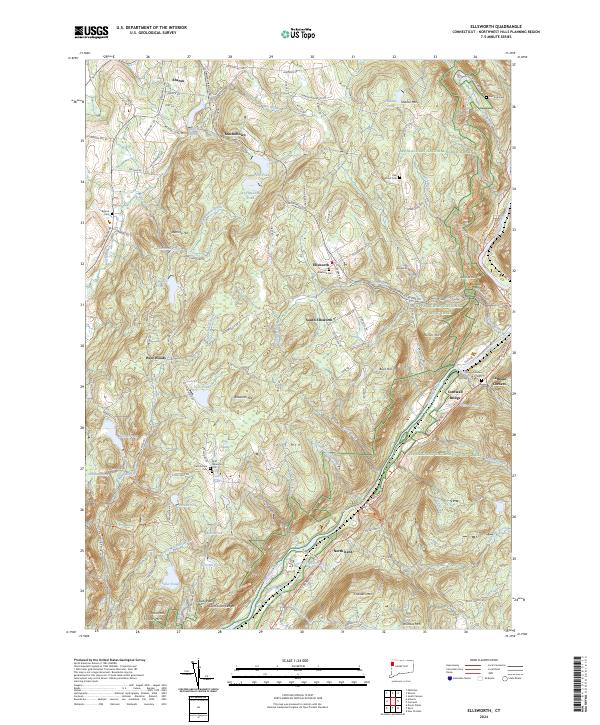 2024 Ellsworth2024 Print · USGSThe Housatonic River valley and its surrounding highlands are captured here in the early twenty-first century. Genealogists and hikers can trace the Appalachian National Scenic Trail as it passes near Cornwall Bridge and the Ellsworth Cem.
 - 2024 Map of Cornwall, 2024 Print
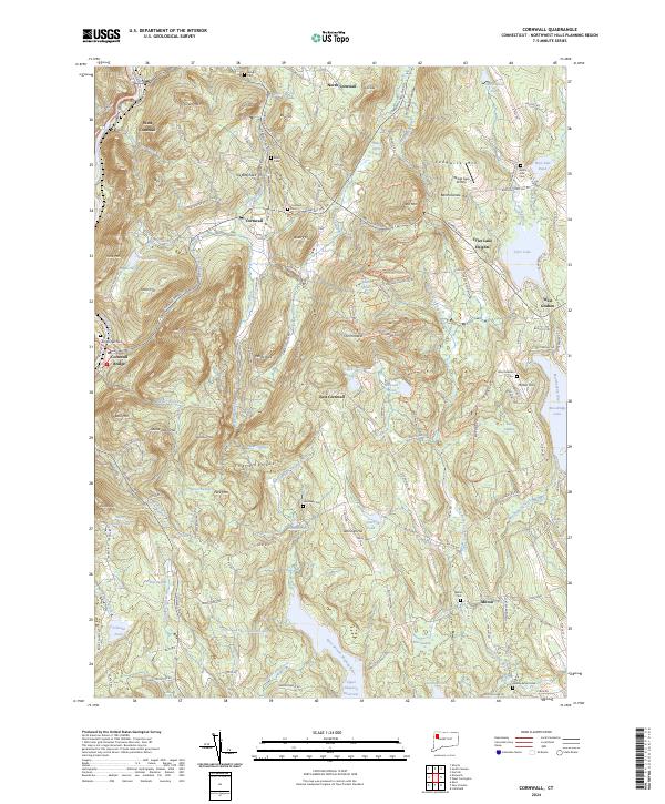 2024 Cornwall2024 Print · USGSThe Litchfield Hills come into sharp focus in this recent survey of the Cornwall area, showcasing the enduring rural character of Northwest Connecticut. Genealogists can locate family landmarks like Wright Cem, Allen Cem, and the old sites near Dudleytown Hill or Milton Hill.
End of results
Showing maps 1-6 of 6
Top cities near Cornwall
- Torrington historical maps
- Watertown historical maps
- Dover historical maps
- Litchfield historical maps
- Litchfield historical maps
- Thomaston historical maps
See more
Top neighborhoods of Cornwall
- Yelping Hill historical maps
- Cornwall Hollow historical maps
- East Cornwall historical maps
- North Cornwall historical maps
- West Cornwall historical maps
- Calhoun Corners historical maps
See more
Frequently asked questions
- What are the different types of historical maps available for Cornwall?
- What is the oldest map of Cornwall?
- Where can I purchase historical maps of Cornwall for my home or office?
- Where can I download high-res historical maps of Cornwall?
- Are there historical topographic maps available for Cornwall?
- Is there historical aerial imagery available for Cornwall?
- Where are historical maps of Cornwall sourced from?