Old Maps of West Haven, Connecticut for Metal Detecting
Plan your next treasure hunt with 23 historic maps of West Haven. Find old homesites, ghost towns, trails, and gathering spots that may be lost to time — perfect for identifying promising metal detecting locations.
- Locate forgotten sites: Uncover places like long-lost settlements, abandoned rail lines, or gathering spots.
- Plan better hunts: Use map overlays combined with LiDAR or satellite views to narrow in on historically rich areas.
- Made for detectorists: Thousands of hobbyists use these maps to discover relics, coins, and hidden history.
Use these historic maps to boost your research and find new opportunities beneath the surface of West Haven.
West Haven, CT maps
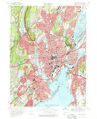
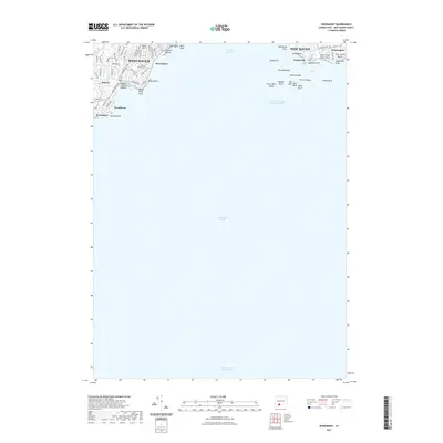
(23)- 1892 Map of New Haven
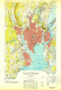
 1892 New Haven1892 Print · USGSNew Haven and its coastal surrounds are captured here during a peak era of rail-and-maritime trade. Genealogists and historians can trace the early industrial development of Whitneyville, the shorefront at Savin Rock, and the strategic position of Fort Hale.13 unique versions available
 - 1921 Map of New Haven
 1921 New Haven1921 Print · USGSNew Haven and its harbor appear in the early twenties as a thriving industrial and maritime hub. Genealogists and historians can trace rail-era neighborhoods and shoreline landmarks like Savin Rock, Fair Haven, and the Mt. Carmel Sta. depot.
 - 1943 Map of New Haven, 1947 Print
 1943 New Haven1947 Print · USGSGreater New Haven at the height of the mid-forties reveals a thriving industrial port city and academic center. Researchers can trace the legacy of Yale University, locate the amusement piers of Savin Rock, and explore the shoreline from Sandy Pt to the New Haven Airport.2 unique versions available
 - 1947 Map of Hartford, 1955 Print
 1947 Hartford1955 Print · USGSSouthern New England and the Hudson Valley are shown in detail during the post-war expansion era. Genealogists and researchers can trace local landmarks from the State Capitol and Yale University to the Stratford Lighthouse and Woodlawn Cem.2 unique versions available
 - 1948 Map of Hartford
 1948 Hartford1948 Print · USGSSouthern New England is captured here in the late 1940s, showcasing a landscape of thriving industrial cities and developing parkways. Genealogists and historians can trace the rail networks of the New York New Haven and Hartford RR or locate coastal defense sites like Fort Terry and Camp Shanks.2 unique versions available
 - 1951 Map of Woodmont, 1952 Print
 1951 Woodmont1952 Print · USGSThe Connecticut coast in the early fifties shows a burgeoning network of summer colonies and suburban expansions. Trace local history through landmarks like Savin Rock, Woodmont, and the historic New Haven Lighthouse.2 unique versions available
 - 1954 Map of New Haven, 1956 Print
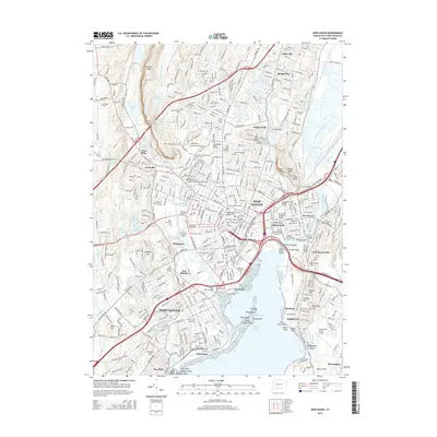
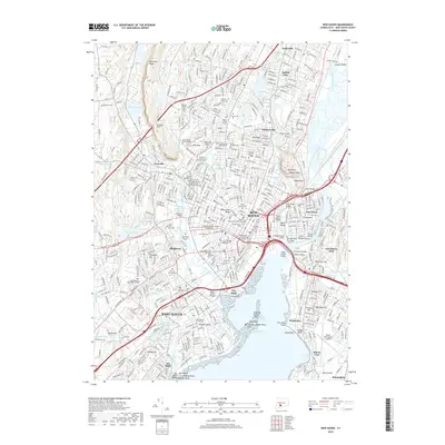
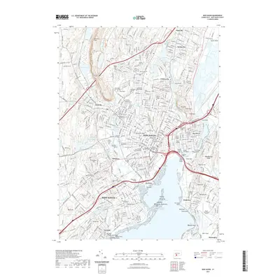
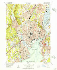 1954 New Haven1956 Print · USGSNew Haven and the surrounding shoreline communities are shown here in the mid-fifties during a period of significant urban density and coastal development. Researchers can trace the layout of Yale University and find historic landmarks like Savin Rock, Judges Cave, and the Yale Bowl.6 unique versions available
 - 1960 Map of Woodmont
 1960 Woodmont1960 Print · USGSThe Connecticut shoreline at the opening of the 1960s reveals a coastal landscape of growing suburban neighborhoods and vital maritime infrastructure. Researchers can trace the mid-century development of Woodmont and West Shore or locate shoreline landmarks like Savin Rock and the Southwest Ledge Lighthouse.3 unique versions available
 - 1961 Map of Hartford
 1961 Hartford1961 Print · USGSSouthern New England and the Hudson Valley are shown here in the mid-fifties, capturing a landscape of booming coastal cities and interior hill towns. Researchers can trace the legacy of the New York New Haven and Hartford rail corridor and find strategic sites like Camp Shanks and Fort Michie.
 - 1962 Map of Hartford, 1971 Print
 1962 Hartford1971 Print · USGSSouthern New England and the Hudson Valley are shown in the early sixties, as suburban growth reached into the foothills. Trace the path of the New York New Haven & Hartford RR and find landmarks like Camp Nathan Hale and Gillette Castle State Park.3 unique versions available
 - 1965 Map of Hartford
 1965 Hartford1965 Print · USGSSouthern New England and the Hudson Valley are shown here during the mid-sixties expansion of the Interstate era. Trace the path of the New York New Haven & Hartford RR or locate historic landmarks like West Point Military Reservation and the Merritt Parkway.2 unique versions available
 - 1967 Map of New Haven, 1970 Print
 1967 New Haven1970 Print · USGSNew Haven and its neighboring towns appear here in the late sixties, showing a dense coastal city shaped by its famous university and river system. Genealogists can locate family sites near St Lawrence Cemetery, Spring Glen, or the Eli Whitney Technical Sch.5 unique versions available
 - 1983 Map of New Haven, 1985 Print
 1983 New Haven1985 Print · USGSThe Connecticut shoreline and eastern Long Island are documented here in the early eighties, from the streets of New Haven to the piers of New London. Genealogists and historians can trace the geography of maritime heritage and academia at Yale University and the U.S. Coast Guard Academy.2 unique versions available
 - 2012 Map of Woodmont, 2012 Print
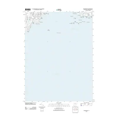 2012 Woodmont2012 Print · USGSCovers West Haven, including New Haven, Milford, and other nearby areas
 - 2012 Map of New Haven, 2012 Print
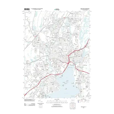 2012 New Haven2012 Print · USGSCovers West Haven, including New Haven, Hamden, and other nearby areas
 - 2015 Map of Woodmont, 2015 Print
 2015 Woodmont2015 Print · USGSCovers West Haven, including New Haven, Milford, and other nearby areas
 - 2015 Map of New Haven, 2015 Print
 2015 New Haven2015 Print · USGSCovers West Haven, including New Haven, Hamden, and other nearby areas
 - 2018 Map of Woodmont, 2018 Print
 2018 Woodmont2018 Print · USGSCovers West Haven, including New Haven, Milford, and other nearby areas
 - 2018 Map of New Haven, 2018 Print
 2018 New Haven2018 Print · USGSCovers West Haven, including New Haven, Hamden, and other nearby areas
 - 2021 Map of New Haven, 2021 Print
 2021 New Haven2021 Print · USGSCovers West Haven, including New Haven, Hamden, and other nearby areas
 - 2021 Map of Woodmont, 2021 Print
 2021 Woodmont2021 Print · USGSCovers West Haven, including New Haven, Milford, and other nearby areas
 - 2024 Map of New Haven, 2024 Print
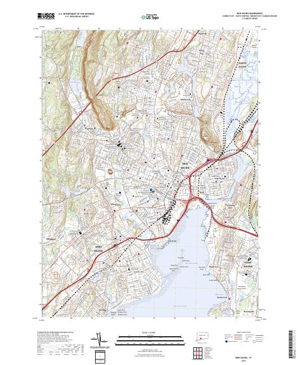 2024 New Haven2024 Print · USGSNew Haven and its harbor appear in high detail during the early twenty-first century, showing the city's dense urban grid and academic centers. Researchers can trace family roots through numerous sites like Grove Street Cem, Evergreen Cem, and Saint Lawrence Cem.
 - 2024 Map of Woodmont, 2024 Print
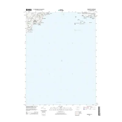
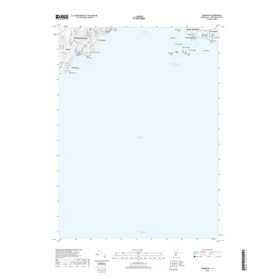
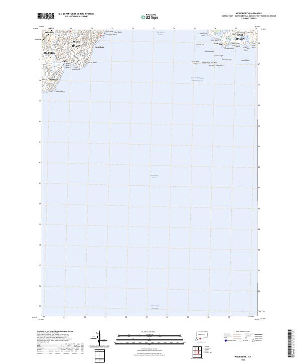 2024 Woodmont2024 Print · USGSThe Connecticut shoreline at the mouth of New Haven Harbor comes alive on this modern survey of established coastal communities. Trace the residential growth and seaside landmarks from Woodmont and West Shore to the rocky outcrops of Morgan Point and Lighthouse Point.
End of results
Showing maps 1-23 of 23
Top cities near West Haven
- Brookhaven historical maps
- Bridgeport historical maps
- New Haven historical maps
- Meriden historical maps
- Hamden historical maps
- Milford historical maps
See more
Top neighborhoods of West Haven
- West Shore historical maps
- Allingtown historical maps
- Savin Rock historical maps
- Sea Bluff historical maps
Frequently asked questions
- What are the different types of historical maps available for West Haven?
- What is the oldest map of West Haven?
- Where can I purchase historical maps of West Haven for my home or office?
- Where can I download high-res historical maps of West Haven?
- Are there historical topographic maps available for West Haven?
- Is there historical aerial imagery available for West Haven?
- Where are historical maps of West Haven sourced from?