Old Maps of Franklin, Connecticut for Academic Research
Study the evolution of Franklin with 41 high-resolution historic maps. Whether you're teaching, researching, or modeling changes in land use, these maps provide essential visual documentation of urban, environmental, and geographic change.
- Analyze long-term change: Track patterns in development, transportation, and natural features.
- Ideal for environmental or urban studies: Support academic projects with primary historical map data.
- Use in the classroom or lab: Educators and researchers rely on these maps to bring historical context to life.
These maps are a powerful tool for teaching, research, and visualizing how Franklin has changed over the decades.
Franklin, CT maps
(41)- 1892 Map of Norwich
 1892 Norwich1892 Print · USGSEastern Connecticut's industrial heartland is documented here in the late nineteenth century, showing the critical junction of the Thames, Shetucket, and Yantic rivers. Genealogists and historians can trace the early layouts of manufacturing hubs like Norwich and Willimantic alongside smaller settlements such as Bozrahville and Versailles.8 unique versions available
 - 1943 Map of Fitchville
 1943 Fitchville1943 Print · USGSNew London County's rural townships and water-powered villages are captured here during the early years of the war. Genealogists and historians can trace family-named sites like Scott Hill Cem, the Central Vermont rail line, and numerous youth camps near Gardner Lake.3 unique versions available
 - 1945 Map of Willimantic
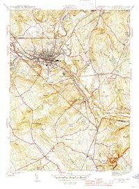 1945 Willimantic1945 Print · USGSWindham County at the close of World War II centers on the vital rail junction and mills of Willimantic. Genealogists and local historians can trace legacy sites like the Willimantic Camp Ground, Windham Cem, and the rural Lebanon Sta railroad stop.3 unique versions available
 - 1945 Map of Norwich
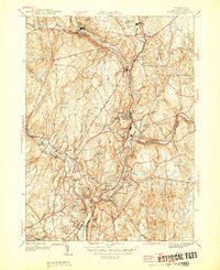 1945 Norwich1945 Print · USGSEastern Connecticut's industrial heart comes into focus during the mid-forties as the rail lines follow the winding river valleys. Genealogists can locate family sites near St Marys Cem, Elizabeth St Sch, and the old neighborhoods of Greenville.
 - 1946 Map of Norwich
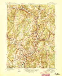 1946 Norwich1946 Print · USGSPost-war Norwich and its neighboring river towns sit at the heart of this industrial landscape during the mid-forties. Genealogists and historians can trace the growth of Taftville, the legacy of the Free Academy, and old burial sites like Yantic Cem.
 - 1946 Map of Scotland
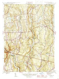 1946 Scotland1946 Print · USGSScotland and the surrounding Windham County highlands are shown here in the mid-1940s as a landscape of small villages and ancestral farms. Genealogists can locate family sites near Scotland Cem, Howard Valley Ch, and the New York New Haven and Hartford rail line.
 - 1947 Map of Hartford, 1955 Print
 1947 Hartford1955 Print · USGSSouthern New England and the Hudson Valley are shown in detail during the post-war expansion era. Genealogists and researchers can trace local landmarks from the State Capitol and Yale University to the Stratford Lighthouse and Woodlawn Cem.2 unique versions available
 - 1948 Map of Hartford
 1948 Hartford1948 Print · USGSSouthern New England is captured here in the late 1940s, showcasing a landscape of thriving industrial cities and developing parkways. Genealogists and historians can trace the rail networks of the New York New Haven and Hartford RR or locate coastal defense sites like Fort Terry and Camp Shanks.2 unique versions available
 - 1953 Map of Willimantic, 1954 Print
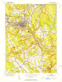 1953 Willimantic1954 Print · USGSWillimantic and its surrounding hill country are captured here in the early fifties, showing a bustling rail junction at the height of its mid-century character. Trace the routes of the Central Vermont Railway, find the historic Trumbull Cem, or locate the old Willimantic State Teachers College.5 unique versions available
 - 1953 Map of Scotland, 1954 Print
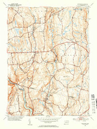 1953 Scotland1954 Print · USGSWindham County at mid-century reveals a network of small settlements and river-powered landscapes along the Shetucket River. Genealogists and historians can trace family-named sites like Pudding Hill, the Howard Valley Church, and old burial grounds including Scotland Cem.5 unique versions available
 - 1953 Map of Fitchville, 1955 Print
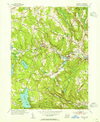 1953 Fitchville1955 Print · USGSNew London County in the early fifties maintains a landscape of river-driven industry and lakeside recreation. Researchers can trace historic turnpikes, the Central Vermont rail line, and family landmarks like Avery Corner and Scott Hill Cem.5 unique versions available
 - 1954 Map of Norwich, 1955 Print
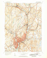 1954 Norwich1955 Print · USGSIn the mid-1950s, the industrial corridors of the Shetucket River and Quinebaug River anchored a landscape of mill towns and neighborhood schools. Trace family sites at St Marys Cem or explore rail history along the New York New Haven and Hartford.5 unique versions available
 - 1961 Map of Hartford
 1961 Hartford1961 Print · USGSSouthern New England and the Hudson Valley are shown here in the mid-fifties, capturing a landscape of booming coastal cities and interior hill towns. Researchers can trace the legacy of the New York New Haven and Hartford rail corridor and find strategic sites like Camp Shanks and Fort Michie.
 - 1962 Map of Hartford, 1971 Print
 1962 Hartford1971 Print · USGSSouthern New England and the Hudson Valley are shown in the early sixties, as suburban growth reached into the foothills. Trace the path of the New York New Haven & Hartford RR and find landmarks like Camp Nathan Hale and Gillette Castle State Park.3 unique versions available
 - 1965 Map of Hartford
 1965 Hartford1965 Print · USGSSouthern New England and the Hudson Valley are shown here during the mid-sixties expansion of the Interstate era. Trace the path of the New York New Haven & Hartford RR or locate historic landmarks like West Point Military Reservation and the Merritt Parkway.2 unique versions available
 - 1983 Map of Norwich
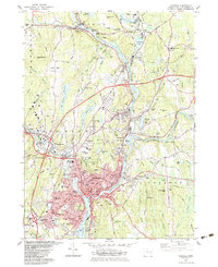 1983 Norwich1983 Print · USGSThe industrial river valleys of New London County are shown here in the early 1980s as modern infrastructure met historic mill towns. Researchers can trace family sites at Long Society Cem, locate schools like Orchard Hill Sch, or study the rail corridors of Conrail.2 unique versions available
 - 1983 Map of Scotland, 1984 Print
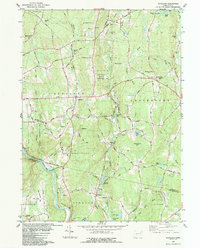 1983 Scotland1984 Print · USGSWindham County and the surrounding uplands are captured in the early 1980s as a landscape of rural hamlets and protected forests. Researchers can trace local genealogy and land use through features like Palmertown Cem, Potash Hill Road, and the village of Hanover.
 - 1983 Map of Fitchville, 1984 Print
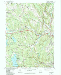 1983 Fitchville1984 Print · USGSThe rural landscapes of Bozrah and Lebanon come alive in this early 1980s survey, showing a network of historic hill settlements and river valleys. Genealogists can trace family lines through New Lebanon Cem and Bozrah Cem or locate old industrial markers like the Central Vermont railroad.
 - 1984 Map of Willimantic
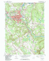 1984 Willimantic1984 Print · USGSWillimantic and the surrounding towns of Windham and Lebanon are shown here during the mid-1980s, revealing a landscape shaped by river junctions and rail history. Genealogists can trace family names at Liberty Hill Cem or locate the historic Willimantic Camp Ground and Lyman Mem Sch.
 - 1986 Map of Hartford
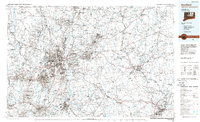 1986 Hartford1986 Print · USGSCentral Connecticut and the surrounding highlands were undergoing significant suburban growth and industrial transition during the mid-eighties. Researchers can trace the layout of regional landmarks including Bradley International Airport, the University of Connecticut, and the historic State Capitol.
 - 1994 Map of Hartford, 1995 Print
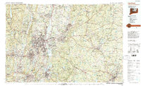 1994 Hartford1995 Print · USGSGreater Hartford and the Connecticut River Valley are captured here in the mid-nineties, showing the dense intersection of industry and academia. Trace the urban footprint of the State Capitol and Trinity College or locate the sprawling grounds of the University of Connecticut.2 unique versions available
 - 2012 Map of Scotland, 2012 Print
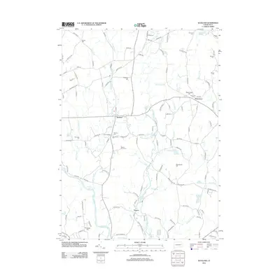 2012 Scotland2012 Print · USGSEastern Connecticut's winding river valleys and rural hamlets are preserved here in the early twenty-first century. Genealogists and local historians can trace burial sites like Palmettown Cem and New Scotland Cem or locate the village of Hanover along the Shetucket River.
 - 2012 Map of Willimantic, 2012 Print
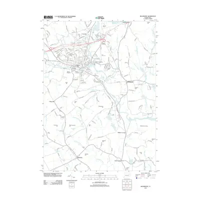 2012 Willimantic2012 Print · USGSWindham and the surrounding Connecticut uplands are shown in detail during the early 21st century as the region balanced collegiate growth with its deep-seated rural character. Researchers can trace historic burial sites like Trumbull Cem and Liberty Hill Cem or locate the Willimantic Footbridge.
 - 2012 Map of Fitchville, 2012 Print
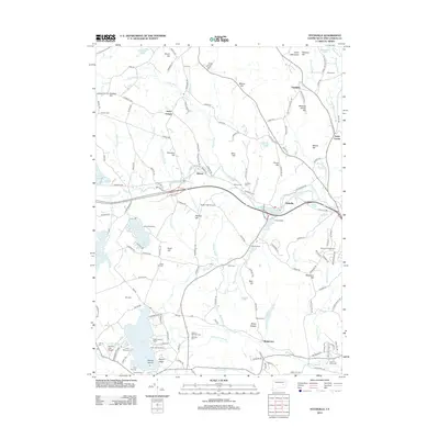 2012 Fitchville2012 Print · USGSSoutheastern Connecticut at the start of the 2010s shows a landscape defined by historic villages and a high density of summer retreats. Researchers can trace local lineage through Plains Cem, explore the shoreline of Gardner Lake, and locate landmarks like Meeting House Hill.
 - 2012 Map of Norwich, 2012 Print
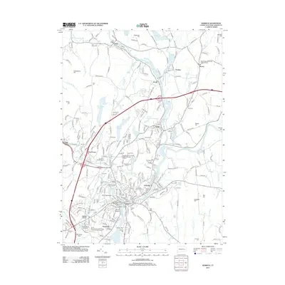 2012 Norwich2012 Print · USGSNorwich and its surrounding river towns are shown here in the early twenty-first century, centered on the confluence of the Yantic and Shetucket. Genealogists can locate several historic burial sites, including the Old Uptown Burying Ground and the Royal Monhegan Burial Ground.
Showing maps 1-25 of 41
Top cities near Franklin
- Norwich historical maps
- Groton historical maps
- Mansfield historical maps
- Windham historical maps
- Montville historical maps
- Waterford historical maps
See more
Top neighborhoods of Franklin
Frequently asked questions
- What are the different types of historical maps available for Franklin?
- What is the oldest map of Franklin?
- Where can I purchase historical maps of Franklin for my home or office?
- Where can I download high-res historical maps of Franklin?
- Are there historical topographic maps available for Franklin?
- Is there historical aerial imagery available for Franklin?
- Where are historical maps of Franklin sourced from?