2000s (21st Century) Maps of Griswold, Connecticut
Explore 17 historic maps of Griswold from the 2000s (21st Century). These maps offer a rare glimpse into what life looked like during the 2000s — showing old roads, neighborhoods, homes, and landmarks that have changed or disappeared over time.
Whether you're researching your family's past, planning a metal detecting trip, or studying how Griswold's landscape evolved across the 2000s, these high-resolution maps are a powerful tool for exploring the history of this region.
- Focus on a specific era: All maps on this page are from the 2000s, giving you a focused view of this time period.
- See what’s changed: Compare century-old streets, trails, and buildings to today's modern landscape using overlays and satellite layers.
- Research with precision: Use these maps for genealogy, historical research, land use analysis, or educational projects.
- View, download, or print: Maps are fully viewable online in high resolution, and can be downloaded or printed for your own records.
Start exploring Griswold's history through authentic maps from the 2000s. This is your window into the past.
Griswold, CT maps
(17)- 2001 Map of Voluntown, 2003 Print
 2001 Voluntown2003 Print · USGSThe Connecticut and Rhode Island borderlands are captured here in the early 2000s, defined by the reach of Pachaug State Forest. Genealogists and hikers can trace the Shetucket Turnpike or locate family sites like Kennedy Cem and Robbins Cem.
 - 2012 Map of Jewett City, 2012 Print
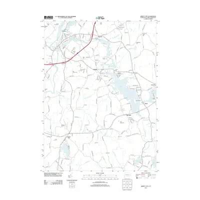 2012 Jewett City2012 Print · USGSCovers Griswold, including North Stonington, Preston, and other nearby areas
 - 2012 Map of Voluntown, 2012 Print
 2012 Voluntown2012 Print · USGSCovers Griswold, including Hopkinton, Exeter, and other nearby areas
 - 2012 Map of Plainfield, 2012 Print
 2012 Plainfield2012 Print · USGSCovers Griswold, including Plainfield, Brooklyn, and other nearby areas
 - 2015 Map of Voluntown, 2015 Print
 2015 Voluntown2015 Print · USGSCovers Griswold, including Hopkinton, Exeter, and other nearby areas
 - 2015 Map of Plainfield, 2015 Print
 2015 Plainfield2015 Print · USGSCovers Griswold, including Plainfield, Brooklyn, and other nearby areas
 - 2015 Map of Jewett City, 2015 Print
 2015 Jewett City2015 Print · USGSCovers Griswold, including North Stonington, Preston, and other nearby areas
 - 2018 Map of Voluntown, 2018 Print
 2018 Voluntown2018 Print · USGSCovers Griswold, including Hopkinton, Exeter, and other nearby areas
 - 2018 Map of Jewett City, 2018 Print
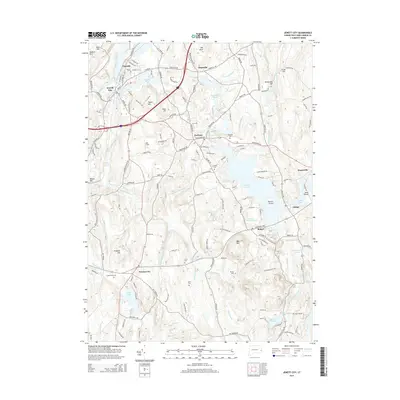
 2018 Jewett City2018 Print · USGSCovers Griswold, including North Stonington, Preston, and other nearby areas
 - 2018 Map of Plainfield, 2018 Print
 2018 Plainfield2018 Print · USGSCovers Griswold, including Plainfield, Brooklyn, and other nearby areas
 - 2021 Map of Jewett City, 2021 Print
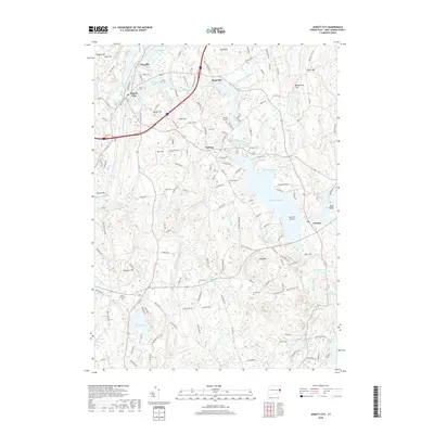
 2021 Jewett City2021 Print · USGSCovers Griswold, including North Stonington, Preston, and other nearby areas
 - 2021 Map of Voluntown, 2021 Print
 2021 Voluntown2021 Print · USGSCovers Griswold, including Hopkinton, Exeter, and other nearby areas
 - 2021 Map of Plainfield, 2021 Print
 2021 Plainfield2021 Print · USGSCovers Griswold, including Plainfield, Brooklyn, and other nearby areas
 - 2023 Map of Plainfield, 2023 Print
 2023 Plainfield2023 Print · USGSCovers Griswold, including Plainfield, Brooklyn, and other nearby areas
 - 2024 Map of Plainfield, 2024 Print
 2024 Plainfield2024 Print · USGSWindham County villages and river valleys are shown in detail as they appear today, from the textile centers of Moosup and Wauregan to the hill country of Canterbury. Trace local family history at the Joseph Roode Farm Cem, Tillinghast Memorial Cem, and along the Providence and Worcester Railroad.
 - 2024 Map of Voluntown, 2024 Print
 2024 Voluntown2024 Print · USGSSettlement and genealogy converge along the Connecticut and Rhode Island border in this recent look at a landscape defined by old family plots and glacial ponds. Trace family lines at Old Kinnie Cem and Rockville Cem, or explore the historic roads near Beach Pond and Voluntown.
 - 2024 Map of Jewett City, 2024 Print
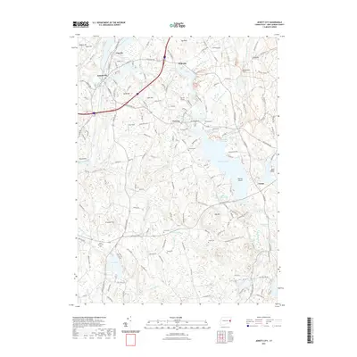
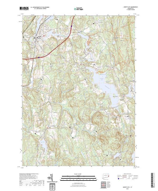 2024 Jewett City2024 Print · USGSJewett City and the surrounding New London County countryside are shown in high detail at the start of the 2020s. Genealogists can locate numerous family burial sites like Old Kinne Burying Ground Cem, Saunders Cem, and Fobes - Amos Cem.
End of results
Showing maps 1-17 of 17
Top cities near Griswold
- Norwich historical maps
- Groton historical maps
- Coventry historical maps
- New London historical maps
- Windham historical maps
- Montville historical maps
See more
Top neighborhoods of Griswold
- Pachaug historical maps
- Doaneville historical maps
- Bethel historical maps
- Hopeville historical maps
- Glasgo historical maps
- Jewett City historical maps
See more
Frequently asked questions
- What are the different types of historical maps available for Griswold?
- What is the oldest map of Griswold?
- Where can I purchase historical maps of Griswold for my home or office?
- Where can I download high-res historical maps of Griswold?
- Are there historical topographic maps available for Griswold?
- Is there historical aerial imagery available for Griswold?
- Where are historical maps of Griswold sourced from?