2000s (21st Century) Maps of New London, Connecticut
Explore 15 historic maps of New London from the 2000s (21st Century). These maps offer a rare glimpse into what life looked like during the 2000s — showing old roads, neighborhoods, homes, and landmarks that have changed or disappeared over time.
Whether you're researching your family's past, planning a metal detecting trip, or studying how New London's landscape evolved across the 2000s, these high-resolution maps are a powerful tool for exploring the history of this region.
- Focus on a specific era: All maps on this page are from the 2000s, giving you a focused view of this time period.
- See what’s changed: Compare century-old streets, trails, and buildings to today's modern landscape using overlays and satellite layers.
- Research with precision: Use these maps for genealogy, historical research, land use analysis, or educational projects.
- View, download, or print: Maps are fully viewable online in high resolution, and can be downloaded or printed for your own records.
Start exploring New London's history through authentic maps from the 2000s. This is your window into the past.
New London, CT maps
(15)- 2012 Map of Uncasville, 2012 Print
 2012 Uncasville2012 Print · USGSCovers New London, including Norwich, Groton, and other nearby areas
 - 2012 Map of New London, 2012 Print
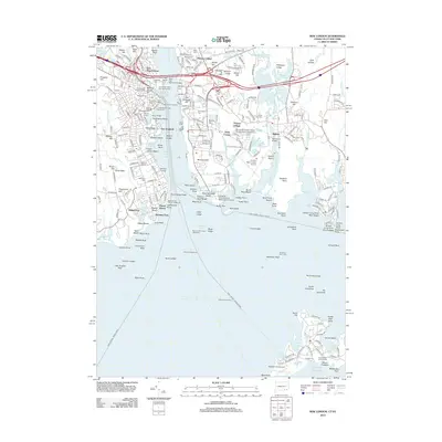 2012 New London2012 Print · USGSCovers New London, including Groton, Southold, and other nearby areas
 - 2012 Map of Niantic, 2012 Print
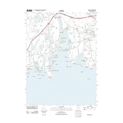 2012 Niantic2012 Print · USGSCovers New London, including Southold, Waterford, and other nearby areas
 - 2015 Map of Niantic, 2015 Print
 2015 Niantic2015 Print · USGSCovers New London, including Southold, Waterford, and other nearby areas
 - 2015 Map of Uncasville, 2015 Print
 2015 Uncasville2015 Print · USGSCovers New London, including Norwich, Groton, and other nearby areas
 - 2015 Map of New London, 2015 Print
 2015 New London2015 Print · USGSCovers New London, including Groton, Southold, and other nearby areas
 - 2018 Map of New London, 2018 Print
 2018 New London2018 Print · USGSCovers New London, including Groton, Southold, and other nearby areas
 - 2018 Map of Niantic, 2018 Print
 2018 Niantic2018 Print · USGSCovers New London, including Southold, Waterford, and other nearby areas
 - 2018 Map of Uncasville, 2018 Print
 2018 Uncasville2018 Print · USGSCovers New London, including Norwich, Groton, and other nearby areas
 - 2021 Map of Uncasville, 2021 Print
 2021 Uncasville2021 Print · USGSCovers New London, including Norwich, Groton, and other nearby areas
 - 2021 Map of New London, 2021 Print
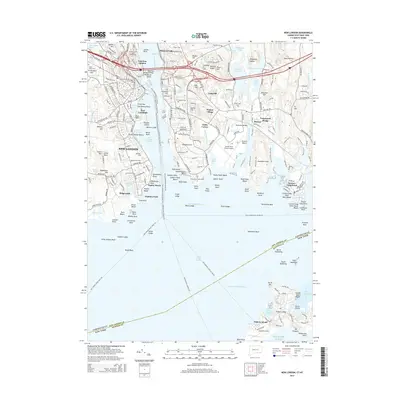
 2021 New London2021 Print · USGSCovers New London, including Groton, Southold, and other nearby areas
 - 2021 Map of Niantic, 2021 Print
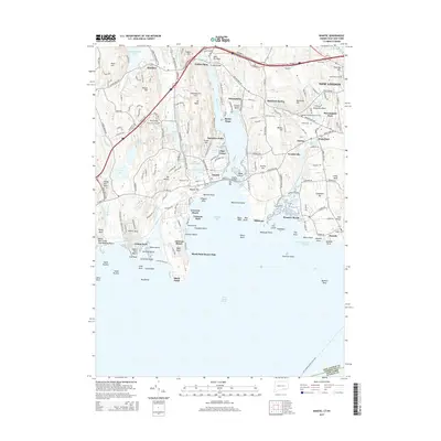
 2021 Niantic2021 Print · USGSCovers New London, including Southold, Waterford, and other nearby areas
 - 2024 Map of Niantic, 2024 Print
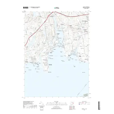
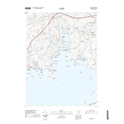
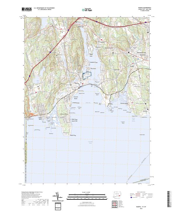 2024 Niantic2024 Print · USGSThe New London County coast comes alive in this survey, showcasing the maritime heritage of Niantic and Waterford. Genealogists and historians can trace family roots at Burial Ground or Riverhead Cem and explore the historic military presence at NG Camp Niantic.
 - 2024 Map of New London, 2024 Print
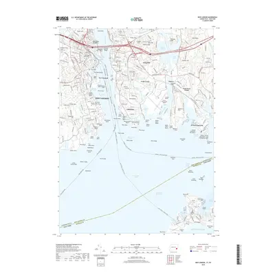
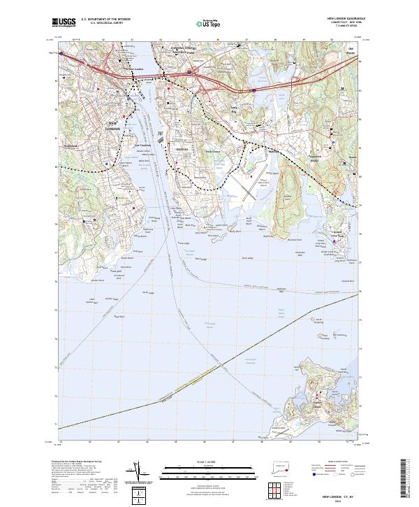 2024 New London2024 Print · USGSCoastal Connecticut at the mouth of the Thames River is depicted here in detail, showcasing its deep naval and maritime legacy. Genealogists can trace family heritage across many burial grounds like the Ancient Cem or Starr Hill Cem, while maritime historians can follow the Intracoastal Waterway and various ferry routes.
 - 2024 Map of Uncasville, 2024 Print
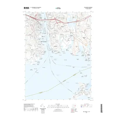
 2024 Uncasville2024 Print · USGSThe Thames River corridor in the modern era reveals a landscape shaped by military importance and deep ancestral roots. Trace family history through numerous small burial plots like Gales Ferry Cem or explore the riverside infrastructure of the Naval Submarine Base New London.
End of results
Showing maps 1-15 of 15
Top cities near New London
- Norwich historical maps
- Groton historical maps
- East Hampton historical maps
- Southold historical maps
- Montville historical maps
- Waterford historical maps
See more
Top neighborhoods of New London
- Downtown New London historical maps
- Bulkeley Square historical maps
- Garibaldi Square historical maps
- The Parade historical maps
- Civic Institutions Historic District historical maps
- Coit Street Historic District historical maps
See more
Frequently asked questions
- What are the different types of historical maps available for New London?
- What is the oldest map of New London?
- Where can I purchase historical maps of New London for my home or office?
- Where can I download high-res historical maps of New London?
- Are there historical topographic maps available for New London?
- Is there historical aerial imagery available for New London?
- Where are historical maps of New London sourced from?