Old Maps of Redding, Connecticut for Genealogy
Trace your family roots with 25 historic maps of Redding. These high-res maps reveal old neighborhoods, homesites, landmarks, and streets — helping you uncover where your ancestors lived and how the area evolved over time.
- Explore historic neighborhoods: Identify where your relatives may have lived in the 1800s or 1900s.
- Compare maps over time: Trace the changes in streets, buildings, and landmarks for multi-generational research.
- Perfect for genealogy & ancestry research: Used by family historians and researchers to map out lineage and migration.
These maps are an incredible resource for exploring your personal connection to Redding's past.
Redding, CT maps
(25)- 1892 Map of Danbury
 1892 Danbury1892 Print · USGSFairfield County thrived as a railroad and industrial hub in the late nineteenth century. Genealogists and researchers can trace old neighborhoods in Danbury and Bethel, or locate landmarks like the Putnam Monument and Sandy Hook Station.11 unique versions available
 - 1915 Map of Danbury, 1921 Print
 1915 Danbury1921 Print · USGSFairfield County in the early twentieth century was a hub of railway activity and village life. Genealogists and historians can trace the tracks of the Housatonic Railroad and locate local landmarks like the Fair Grounds or the Putnam Monument.
 - 1943 Map of Botsford
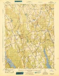 1943 Botsford1943 Print · USGSFairfield County towns like Botsford and Stepney appear here during the early years of the war, showcasing a landscape of ridge-top villages and new reservoirs. Genealogists and historians can trace rail connections at Botsford Sta or locate family sites near Hattertown and Redding Ridge.
 - 1947 Map of Hartford, 1955 Print
 1947 Hartford1955 Print · USGSSouthern New England and the Hudson Valley are shown in detail during the post-war expansion era. Genealogists and researchers can trace local landmarks from the State Capitol and Yale University to the Stratford Lighthouse and Woodlawn Cem.2 unique versions available
 - 1948 Map of Hartford
 1948 Hartford1948 Print · USGSSouthern New England is captured here in the late 1940s, showcasing a landscape of thriving industrial cities and developing parkways. Genealogists and historians can trace the rail networks of the New York New Haven and Hartford RR or locate coastal defense sites like Fort Terry and Camp Shanks.2 unique versions available
 - 1951 Map of Botsford, 1953 Print
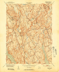 1951 Botsford1953 Print · USGSFairfield County towns like Botsford and Easton appear in the early fifties as a landscape of traditional villages and vital water infrastructure. Genealogists and historians can trace family-named landmarks like Codfish Hill or locate old community hubs such as Hopewell School and St Patricks Ch.3 unique versions available
 - 1951 Map of Bethel, 1953 Print
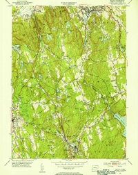 1951 Bethel1953 Print · USGSFairfield County towns like Bethel and Redding are shown in the early fifties during a period of steady growth along the New York New Haven and Hartford rail line. Researchers can trace historic local sites such as the Putnam Memorial Camp Grounds, St Marys Cem, and the old New Redding Sch.2 unique versions available
 - 1959 Map of Botsford, 1961 Print
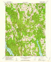 1959 Botsford1961 Print · USGSFairfield County in the late fifties shows a landscape of growing reservoirs and historic hill settlements. Genealogists and historians can locate family landmarks like Morgan Cem and Huntingtown Cem or trace the early paths of Limekiln Road and Sport Hill Road.2 unique versions available
 - 1959 Map of Bethel, 1961 Print
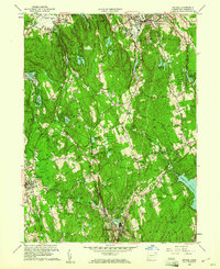 1959 Bethel1961 Print · USGSFairfield County towns like Bethel and Ridgefield are shown during the late fifties as suburban growth began to meet the older rail corridors. Researchers can trace historic property lines and community landmarks including Putnam Memorial State Park, the Redding School, and Nod Hill.2 unique versions available
 - 1961 Map of Hartford
 1961 Hartford1961 Print · USGSSouthern New England and the Hudson Valley are shown here in the mid-fifties, capturing a landscape of booming coastal cities and interior hill towns. Researchers can trace the legacy of the New York New Haven and Hartford rail corridor and find strategic sites like Camp Shanks and Fort Michie.
 - 1962 Map of Hartford, 1971 Print
 1962 Hartford1971 Print · USGSSouthern New England and the Hudson Valley are shown in the early sixties, as suburban growth reached into the foothills. Trace the path of the New York New Haven & Hartford RR and find landmarks like Camp Nathan Hale and Gillette Castle State Park.3 unique versions available
 - 1965 Map of Hartford
 1965 Hartford1965 Print · USGSSouthern New England and the Hudson Valley are shown here during the mid-sixties expansion of the Interstate era. Trace the path of the New York New Haven & Hartford RR or locate historic landmarks like West Point Military Reservation and the Merritt Parkway.2 unique versions available
 - 1969 Map of Botsford, 1971 Print
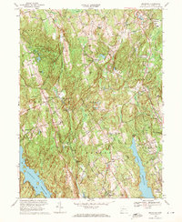 1969 Botsford1971 Print · USGSFairfield County's rolling hills and watersheds are captured here in the late sixties as suburban growth met long-standing rural hamlets. Trace the legacy of early families and infrastructure at Tashua Burial Ground, the Penn Central line, and Redding Ridge.4 unique versions available
 - 1970 Map of Bethel, 1973 Print
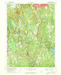 1970 Bethel1973 Print · USGSFairfield County towns like Bethel and Redding are shown in the early seventies, balancing industrial roots with growing suburban neighborhoods. Genealogists can trace family landmarks and sites like Umpawaug Cemetery, St Andrews Ch, and the Penn Central rail line.3 unique versions available
 - 1986 Map of Bridgeport
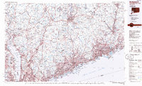 1986 Bridgeport1986 Print · USGSSpanning the New York and Connecticut border in the mid-eighties, this survey shows the dense rail and parkway network connecting the Hudson to the Sound. Researchers can trace the massive New Croton Reservoir system or locate landmarks like the West Point U.S. Military Academy.3 unique versions available
 - 2012 Map of Botsford, 2012 Print
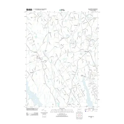 2012 Botsford2012 Print · USGSFairfield County towns and quiet reservoirs are captured here in the early twenty-first century as suburban growth meets colonial roots. Genealogists can trace family names at the Old Indian Cemetery and Tashua Burial Ground, or locate the historic village of Hattertown.
 - 2012 Map of Bethel, 2012 Print
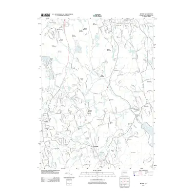 2012 Bethel2012 Print · USGSFairfield County in the early twenty-first century reveals a landscape of high ridges and deep-rooted villages like Redding and Branchville. Researchers can locate historic burial grounds such as Lonetown Cem, trace the Saugatuck River, or explore the protected woods of Devils Den.
 - 2015 Map of Bethel, 2015 Print
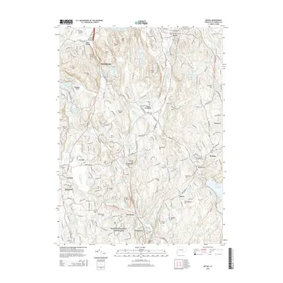 2015 Bethel2015 Print · USGSFairfield County’s landscape is captured here in the mid-2010s, showing the intersection of historic parklands and modern suburban growth. Researchers can locate family sites at Saint Marys Cem or trace the artist’s legacy at the Weir Farm National Historic Site.
 - 2015 Map of Botsford, 2015 Print
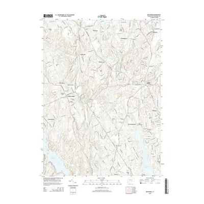 2015 Botsford2015 Print · USGSFairfield County's interior settlements and major water reserves are shown in detail as they appeared during the mid-2010s. Local researchers can trace family plots at the Tashua Burial Ground or explore the historic crossroads of Redding Ridge and Upper Stepney.
 - 2018 Map of Bethel, 2018 Print
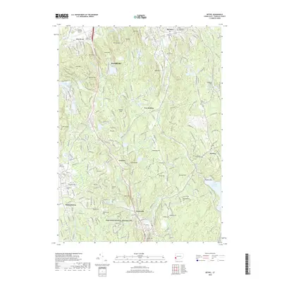 2018 Bethel2018 Print · USGSFairfield County's upland ridges and quiet hamlets are captured in this recent look at western Connecticut. Researchers can trace family history through sites like the First Congregational Church Cem or explore preserved landscapes at the Weir Farm National Historic Site.
 - 2018 Map of Botsford, 2018 Print
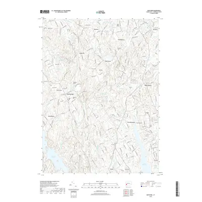 2018 Botsford2018 Print · USGSFairfield County’s rolling landscape and historic hamlets are documented here in the late twenty-teens. Researchers can trace ancestral roots through numerous local burial sites like Stepney Cem and Huntingtown Cem or explore the shores of the Saugatuck Reservoir.
 - 2021 Map of Bethel, 2021 Print
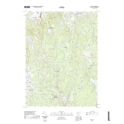 2021 Bethel2021 Print · USGSFairfield County's upland ridges and colonial-era crossroads are captured here in the early twenty-first century. Researchers can trace historic family burial sites like Isaac Hamilton Cem and visit the grounds of the Weir Farm National Historic Site.
 - 2021 Map of Botsford, 2021 Print
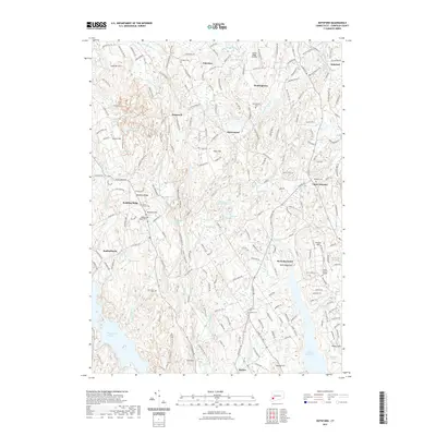 2021 Botsford2021 Print · USGSFairfield County's rural character is preserved in this contemporary survey of the hills between Redding and Easton. Researchers can locate early burial sites like Old Indian Cem and trace the paths of the Housatonic Rail Trl and Aspetuck River.
 - 2024 Map of Botsford, 2024 Print
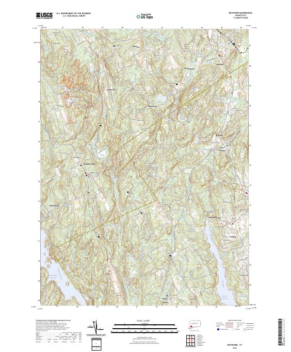 2024 Botsford2024 Print · USGSFairfield County’s landscape of reservoirs and historic crossroads is captured in this recent survey. Researchers can trace ancestral sites through numerous old grounds like Tashua Burial Ground and Stepney Cem, or follow the Housatonic Railroad line.
 - 2024 Map of Bethel, 2024 Print
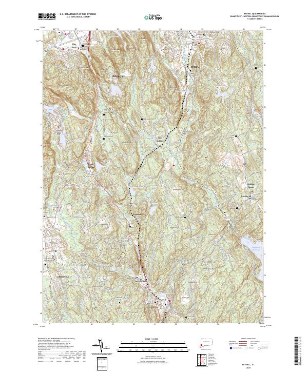 2024 Bethel2024 Print · USGSWestern Connecticut's hills and historic villages are meticulously documented in this recent survey of the area between Danbury and Ridgefield. Local historians can trace family burial sites like Isaac Hamilton Cem and Long Ridge Cem alongside the Weir Farm National Historic Site.
End of results
Showing maps 1-25 of 25
Top cities near Redding
- Brookhaven historical maps
- Bridgeport historical maps
- Stamford historical maps
- Norwalk historical maps
- Danbury historical maps
- Greenwich historical maps
See more
Top neighborhoods of Redding
- Lonetown historical maps
- Topstone historical maps
- West Redding historical maps
- Boston historical maps
- Five Points historical maps
- Redding Ridge historical maps
See more
Frequently asked questions
- What are the different types of historical maps available for Redding?
- What is the oldest map of Redding?
- Where can I purchase historical maps of Redding for my home or office?
- Where can I download high-res historical maps of Redding?
- Are there historical topographic maps available for Redding?
- Is there historical aerial imagery available for Redding?
- Where are historical maps of Redding sourced from?