Old Maps of Beades Estate, Kent County for Genealogy
Trace your family roots with 15 historic maps of Beades Estate. These high-res maps reveal old neighborhoods, homesites, landmarks, and streets — helping you uncover where your ancestors lived and how the area evolved over time.
- Explore historic neighborhoods: Identify where your relatives may have lived in the 1800s or 1900s.
- Compare maps over time: Trace the changes in streets, buildings, and landmarks for multi-generational research.
- Perfect for genealogy & ancestry research: Used by family historians and researchers to map out lineage and migration.
These maps are an incredible resource for exploring your personal connection to Beades Estate's past.
Beades Estate, Kent County maps
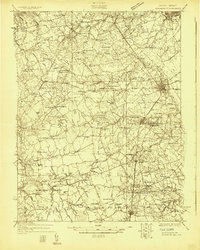
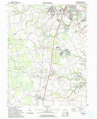
(15)- 1899 Map of Dover
 1899 Dover1899 Print · USGSCovers Beades Estate, including Dover, Smyrna, and other nearby areas2 unique versions available
 - 1906 Map of Dover
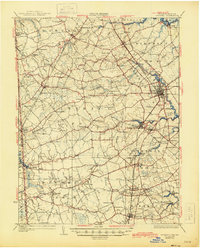
 1906 Dover1906 Print · USGSCovers Beades Estate, including Dover, Smyrna, and other nearby areas3 unique versions available
 - 1920 Map of Dover
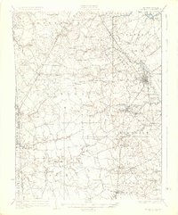
 1920 Dover1920 Print · USGSCovers Beades Estate, including Dover, Smyrna, and other nearby areas
 - 1926 Map of Wyoming
 1926 Wyoming1926 Print · USGSCovers Beades Estate, including Dover, Highland Acres, and other nearby areas
 - 1930 Map of Wyoming, 1945 Print
 1930 Wyoming1945 Print · USGSCovers Beades Estate, including Dover, Highland Acres, and other nearby areas
 - 1931 Map of Wyoming
 1931 Wyoming1931 Print · USGSCovers Beades Estate, including Dover, Highland Acres, and other nearby areas2 unique versions available
 - 1946 Map of Wilmington, 1948 Print
 1946 Wilmington1948 Print · USGSCovers Beades Estate, including Philadelphia, Toms River, and other nearby areas2 unique versions available
 - 1955 Map of Wilmington
 1955 Wilmington1955 Print · USGSCovers Beades Estate, including Philadelphia, Toms River, and other nearby areas
 - 1956 Map of Wyoming, 1957 Print
 1956 Wyoming1957 Print · USGSCovers Beades Estate, including Highland Acres, Woodside East, and other nearby areas3 unique versions available
 - 1957 Map of Wilmington
 1957 Wilmington1957 Print · USGSCovers Beades Estate, including Philadelphia, Toms River, and other nearby areas2 unique versions available
 - 1959 Map of Wilmington
 1959 Wilmington1959 Print · USGSCovers Beades Estate, including Philadelphia, Toms River, and other nearby areas3 unique versions available
 - 1966 Map of Wilmington, 1968 Print
 1966 Wilmington1968 Print · USGSCovers Beades Estate, including Philadelphia, Toms River, and other nearby areas4 unique versions available
 - 1972 Map of Wilmington, 1976 Print
 1972 Wilmington1976 Print · USGSCovers Beades Estate, including Philadelphia, Toms River, and other nearby areas2 unique versions available
 - 1984 Map of Dover, 1985 Print
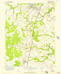
 1984 Dover1985 Print · USGSCovers Beades Estate, including Vineland, Dover, and other nearby areas
 - 1993 Map of Wyoming
 1993 Wyoming1993 Print · USGSCovers Beades Estate, including Highland Acres, Woodside East, and other nearby areas
End of results
Showing maps 1-15 of 15
Frequently asked questions
- What are the different types of historical maps available for Beades Estate?
- What is the oldest map of Beades Estate?
- Where can I purchase historical maps of Beades Estate for my home or office?
- Where can I download high-res historical maps of Beades Estate?
- Are there historical topographic maps available for Beades Estate?
- Is there historical aerial imagery available for Beades Estate?
- Where are historical maps of Beades Estate sourced from?