2000s (21st Century) Maps of Long Point Landing, Smyrna
Explore 5 historic maps of Long Point Landing from the 2000s (21st Century). These maps offer a rare glimpse into what life looked like during the 2000s — showing old roads, neighborhoods, homes, and landmarks that have changed or disappeared over time.
Whether you're researching your family's past, planning a metal detecting trip, or studying how Long Point Landing's landscape evolved across the 2000s, these high-resolution maps are a powerful tool for exploring the history of this region.
- Focus on a specific era: All maps on this page are from the 2000s, giving you a focused view of this time period.
- See what’s changed: Compare century-old streets, trails, and buildings to today's modern landscape using overlays and satellite layers.
- Research with precision: Use these maps for genealogy, historical research, land use analysis, or educational projects.
- View, download, or print: Maps are fully viewable online in high resolution, and can be downloaded or printed for your own records.
Start exploring Long Point Landing's history through authentic maps from the 2000s. This is your window into the past.
Long Point Landing, Smyrna maps
(5)- 2011 Map of Smyrna, 2011 Print
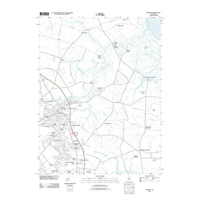 2011 Smyrna2011 Print · USGSCovers Long Point Landing, including Smyrna, Brenford, and other nearby areas
 - 2014 Map of Smyrna, 2014 Print
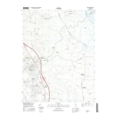
 2014 Smyrna2014 Print · USGSCovers Long Point Landing, including Smyrna, Brenford, and other nearby areas
 - 2016 Map of Smyrna, 2016 Print
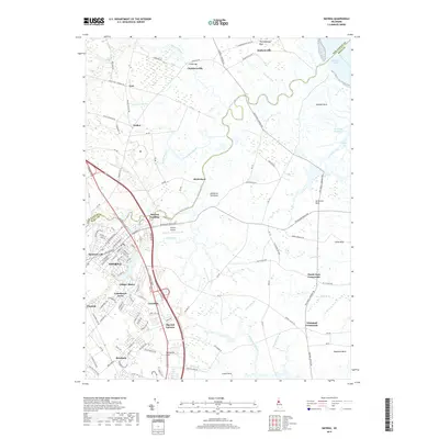
 2016 Smyrna2016 Print · USGSCovers Long Point Landing, including Smyrna, Brenford, and other nearby areas
 - 2019 Map of Smyrna, 2019 Print
 2019 Smyrna2019 Print · USGSCovers Long Point Landing, including Smyrna, Brenford, and other nearby areas
 - 2023 Map of Smyrna, 2023 Print
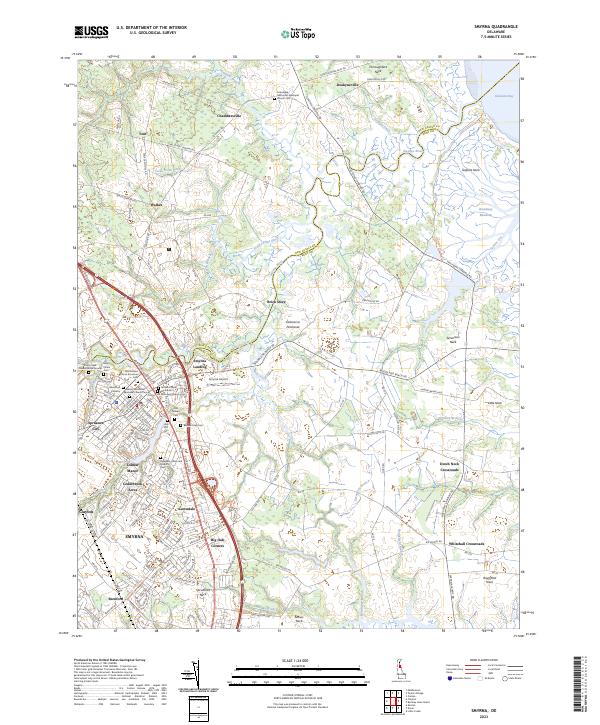 2023 Smyrna2023 Print · USGSSmyrna and Clayton center this Delaware landscape as it appeared in the early 2020s, bridging the county line along the Smyrna River. Genealogists can trace deep local roots at the Duck Creek Friends Burial Ground and Odd Fellows Cem, or explore the tidal reaches of Thoroughfare Neck.
End of results
Showing maps 1-5 of 5
Top cities near Long Point Landing
- Dover historical maps
- Smyrna historical maps
- Middletown historical maps
- Highland Acres historical maps
- Quinton Township historical maps
- Dover Base historical maps
See more
Frequently asked questions
- What are the different types of historical maps available for Long Point Landing?
- What is the oldest map of Long Point Landing?
- Where can I purchase historical maps of Long Point Landing for my home or office?
- Where can I download high-res historical maps of Long Point Landing?
- Are there historical topographic maps available for Long Point Landing?
- Is there historical aerial imagery available for Long Point Landing?
- Where are historical maps of Long Point Landing sourced from?