Old Maps of Pike Creek, Delaware, Delaware
Explore 27 old maps of Pike Creek, Delaware, spanning from 1901 to today. These high-resolution historic maps reveal how streets, neighborhoods, landmarks, and natural features evolved over time — perfect for genealogy, metal detecting, research, and local history exploration.
What you can do with these maps:
- See how Pike Creek, Delaware changed over time: Compare historical maps to modern-day views to trace roads, homesites, rail lines & more.
- View detailed metadata: Each map includes creators, publishers, year, scale, and archive source.
- Overlay maps with satellite & LiDAR: Visualize the past alongside modern tools to explore terrain & human change.
- Trusted historical sources: Maps sourced from the USGS, Library of Congress, and other archives.
- Access maps your way: View online, download high-res files, or order prints for personal or research use.
Start exploring old maps of Pike Creek, Delaware to uncover forgotten places, hidden landmarks, and the deep history beneath your feet.
Pike Creek, Delaware, DE maps
(27)- 1901 Map of West Chester, 1958 Print
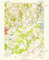
 1901 West Chester1958 Print · USGSSettled hills and river valleys between Pennsylvania and Delaware are captured here in the early twentieth century. Trace the industrial landscape from West Chester down to Wilmington, finding landmarks like the Henry Clay Factory and Dutton Mill.
 - 1904 Map of West Chester
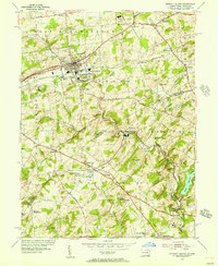
 1904 West Chester1904 Print · USGSChester County at the dawn of the 1900s reveals a thriving network of rail-connected villages and early industrial sites along the Brandywine Creek. Researchers can trace old family lands near Dutton Mill, the House of Refuge, and the vanished stops of the West Chester Br. railroad.8 unique versions available
 - 1904 Map of Wilmington, 1961 Print
 1904 Wilmington1961 Print · USGSDelaware’s coastal industrial corridor and river defenses are captured here at the turn of the century. Genealogists and historians can trace old transit lines like the Maryland and Delaware Electric RR or locate landmarks such as Fort Delaware and Coochs Bridge.
 - 1906 Map of Wilmington
 1906 Wilmington1906 Print · USGSThe industrial waterfronts and rail hubs of northern Delaware thrive in the early twentieth century. Researchers can trace the path of the Chesapeake and Delaware Canal, find the strategic Fort Delaware, and locate old settlements like Coochs Bridge and St Georges.7 unique versions available
 - 1919 Map of Wilmington
 1919 Wilmington1919 Print · USGSNorthern Delaware and the river corridor are mapped at the close of the Great War, highlighting strategic coastal defenses and rail hubs. Genealogists can trace early landmarks like Coochs Bridge, Corner Ketch, and the defensive works at Fort Delaware.2 unique versions available
 - 1943 Map of West Chester
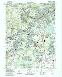
 1943 West Chester1943 Print · USGSChester County during the early years of the war shows a landscape of established borough centers and winding creek valleys. Genealogists and historians can trace the rail-and-river network through West Chester, Brandywine Creek, and early industrial sites like Dutton Mill.
 - 1946 Map of Wilmington, 1948 Print
 1946 Wilmington1948 Print · USGSThe Delaware Valley and Jersey Shore emerge in this mid-century portrait of a region defined by river commerce and seaside growth. Genealogists and historians can trace the rail networks of the Pennsylvania Railroad, locate early airfields like Dover Airpark, and find river defenses at Fort Delaware.2 unique versions available
 - 1953 Map of Newark East, 1955 Print
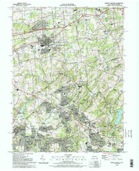
 1953 Newark East1955 Print · USGSMid-century New Castle County shows a landscape of burgeoning suburbs and deep-rooted industrial corridors. Researchers can locate family landmarks at Coochs Bridge, St James Ch, and the Delaware Park Race Track.4 unique versions available
 - 1954 Map of Kennett Square, 1956 Print
 1954 Kennett Square1956 Print · USGSThe Pennsylvania and Delaware borderlands are shown here in the mid-fifties as the region balanced its rural roots with industrial growth. Genealogists and historians can trace family locations through sites like Old Kennett Meetinghouse, Hockessin, and Yorklyn.6 unique versions available
 - 1955 Map of Wilmington
 1955 Wilmington1955 Print · USGSThe Delaware Valley and Jersey Shore are seen here during the mid-fifties era of rapid suburban expansion and highway development. You can trace the path of the New Jersey Turnpike, locate the Fort Dix Military Reservation, or explore the rail networks of the Pennsylvania Railroad.
 - 1957 Map of Wilmington
 1957 Wilmington1957 Print · USGSThe mid-Atlantic coastal plain comes alive in the mid-fifties as the New Jersey Turnpike and Garden State Parkway redefine travel. Researchers can trace the rail-to-road transition and find landmarks like Ship John Shoal Light and the Fort Dix Military Reservation.2 unique versions available
 - 1959 Map of Wilmington
 1959 Wilmington1959 Print · USGSThe Delaware Valley and Jersey Shore are seen here in the late fifties, during a period of massive suburban and highway expansion. Researchers can trace mid-century infrastructure like the N J Turnpike or locate coastal landmarks from Barnegat Bay to the Maurice River.3 unique versions available
 - 1966 Map of Wilmington, 1968 Print
 1966 Wilmington1968 Print · USGSThe Delaware Valley and Jersey Shore are seen here in the mid-1960s, documenting a landscape of dense industrial cities and emerging coastal resorts. Researchers can trace the sprawling rail networks of the Pennsylvania Railroad or locate landmarks like Fort Dix Military Reservation and Elk Neck State Park.4 unique versions available
 - 1972 Map of Wilmington, 1976 Print
 1972 Wilmington1976 Print · USGSThe Delaware Valley and Jersey Shore are seen here in the 1970s, showcasing the region's dense transport networks and vast state forests. Trace early coastal development near Atlantic City or locate rural landmarks like Mount Holly and Dover Air Force Base.2 unique versions available
 - 1984 Map of Wilmington, 1986 Print
 1984 Wilmington1986 Print · USGSThe Delaware Valley in the mid-eighties was a powerhouse of transit and industry where Delaware, New Jersey, Pennsylvania, and Maryland meet. Researchers can trace the sprawling rail networks of SEPTA and PATCO or locate historic sites like Fort Delaware State Park and Valley Forge State Forest.2 unique versions available
 - 1993 Map of Newark East
 1993 Newark East1993 Print · USGSNewark and the surrounding Delaware suburbs are captured here in the early nineties as modern residential life integrates with historic transport corridors. Researchers can locate community anchors like Delaware Park, All Saints Cemetery, and Goldey Beacom College.2 unique versions available
 - 1993 Map of Kennett Square
 1993 Kennett Square1993 Print · USGSThe Pennsylvania and Delaware borderlands are documented here in the early nineties, centered on the borough of Kennett Square. Genealogists and local historians can trace legacy sites like the Old Kennett Meeting House, Longwood Cem, and the Covered Bridge near Ashland.
 - 2011 Map of Newark East, 2011 Print
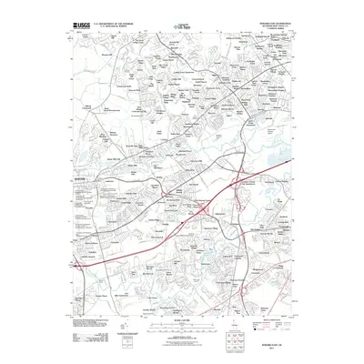 2011 Newark East2011 Print · USGSCovers Pike Creek, Delaware, including Newark, Elmwood, and other nearby areas
 - 2011 Map of Kennett Square, 2011 Print
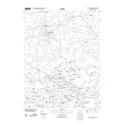 2011 Kennett Square2011 Print · USGSCovers Pike Creek, Delaware, including Hockessin, New Garden Township, and other nearby areas
 - 2013 Map of Kennett Square, 2013 Print
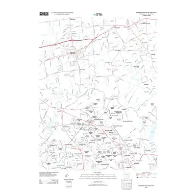 2013 Kennett Square2013 Print · USGSCovers Pike Creek, Delaware, including Hockessin, New Garden Township, and other nearby areas
 - 2014 Map of Newark East, 2014 Print
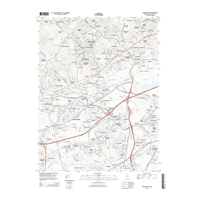 2014 Newark East2014 Print · USGSCovers Pike Creek, Delaware, including Newark, Elmwood, and other nearby areas
 - 2016 Map of Kennett Square, 2016 Print
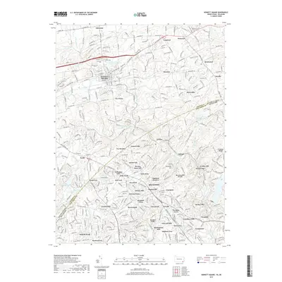
 2016 Kennett Square2016 Print · USGSCovers Pike Creek, Delaware, including Hockessin, New Garden Township, and other nearby areas
 - 2016 Map of Newark East, 2016 Print
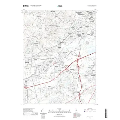
 2016 Newark East2016 Print · USGSCovers Pike Creek, Delaware, including Newark, Elmwood, and other nearby areas
 - 2019 Map of Kennett Square, 2019 Print
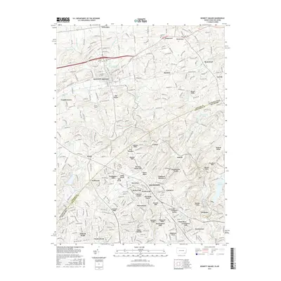
 2019 Kennett Square2019 Print · USGSCovers Pike Creek, Delaware, including Hockessin, New Garden Township, and other nearby areas
 - 2019 Map of Newark East, 2019 Print
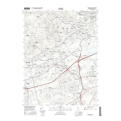
 2019 Newark East2019 Print · USGSCovers Pike Creek, Delaware, including Newark, Elmwood, and other nearby areas
Showing maps 1-25 of 27
Top cities near Pike Creek, Delaware
- Wilmington historical maps
- Newark historical maps
- West Goshen Township historical maps
- West Chester historical maps
- Elkton historical maps
- Hockessin historical maps
See more
Top neighborhoods of Pike Creek, Delaware
- Plum Run historical maps
- Eastburn Farms historical maps
- Skyline Ridge historical maps
- English Village historical maps
- The Bluffs historical maps
- Fairway Falls historical maps
See more
Frequently asked questions
- What are the different types of historical maps available for Pike Creek, Delaware?
- What is the oldest map of Pike Creek, Delaware?
- Where can I purchase historical maps of Pike Creek, Delaware for my home or office?
- Where can I download high-res historical maps of Pike Creek, Delaware?
- Are there historical topographic maps available for Pike Creek, Delaware?
- Is there historical aerial imagery available for Pike Creek, Delaware?
- Where are historical maps of Pike Creek, Delaware sourced from?