Old Maps of Shingle Landing, Delaware for Academic Research
Study the evolution of Shingle Landing with 19 high-resolution historic maps. Whether you're teaching, researching, or modeling changes in land use, these maps provide essential visual documentation of urban, environmental, and geographic change.
- Analyze long-term change: Track patterns in development, transportation, and natural features.
- Ideal for environmental or urban studies: Support academic projects with primary historical map data.
- Use in the classroom or lab: Educators and researchers rely on these maps to bring historical context to life.
These maps are a powerful tool for teaching, research, and visualizing how Shingle Landing has changed over the decades.
Shingle Landing, DE maps
(19)- 1904 Map of Wilmington, 1961 Print
 1904 Wilmington1961 Print · USGSDelaware’s coastal industrial corridor and river defenses are captured here at the turn of the century. Genealogists and historians can trace old transit lines like the Maryland and Delaware Electric RR or locate landmarks such as Fort Delaware and Coochs Bridge.
 - 1906 Map of Wilmington
 1906 Wilmington1906 Print · USGSThe industrial waterfronts and rail hubs of northern Delaware thrive in the early twentieth century. Researchers can trace the path of the Chesapeake and Delaware Canal, find the strategic Fort Delaware, and locate old settlements like Coochs Bridge and St Georges.7 unique versions available
 - 1919 Map of Wilmington
 1919 Wilmington1919 Print · USGSNorthern Delaware and the river corridor are mapped at the close of the Great War, highlighting strategic coastal defenses and rail hubs. Genealogists can trace early landmarks like Coochs Bridge, Corner Ketch, and the defensive works at Fort Delaware.2 unique versions available
 - 1946 Map of Wilmington, 1948 Print
 1946 Wilmington1948 Print · USGSThe Delaware Valley and Jersey Shore emerge in this mid-century portrait of a region defined by river commerce and seaside growth. Genealogists and historians can trace the rail networks of the Pennsylvania Railroad, locate early airfields like Dover Airpark, and find river defenses at Fort Delaware.2 unique versions available
 - 1948 Map of Delaware City, 1965 Print
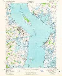 1948 Delaware City1965 Print · USGSThe Delaware River shoreline at mid-century is defined by its military fortifications and heavy maritime traffic between Delaware and New Jersey. Trace historic sites like Fort Delaware, the Quarantine Station on Reedy Island, and the Finns Point National Cemetery near the canal.5 unique versions available
 - 1951 Map of Delaware City
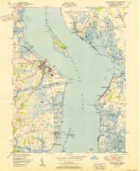 1951 Delaware City1951 Print · USGSCoastal Delaware and New Jersey meet along the tidal river and canal in the early fifties, before modern expansion altered the marshlands. Genealogists and historians can locate Finns Point National Cemetery, the river defenses of Fort Delaware, and old schoolhouses like Union Sch.
 - 1955 Map of Wilmington
 1955 Wilmington1955 Print · USGSThe Delaware Valley and Jersey Shore are seen here during the mid-fifties era of rapid suburban expansion and highway development. You can trace the path of the New Jersey Turnpike, locate the Fort Dix Military Reservation, or explore the rail networks of the Pennsylvania Railroad.
 - 1957 Map of Wilmington
 1957 Wilmington1957 Print · USGSThe mid-Atlantic coastal plain comes alive in the mid-fifties as the New Jersey Turnpike and Garden State Parkway redefine travel. Researchers can trace the rail-to-road transition and find landmarks like Ship John Shoal Light and the Fort Dix Military Reservation.2 unique versions available
 - 1959 Map of Wilmington
 1959 Wilmington1959 Print · USGSThe Delaware Valley and Jersey Shore are seen here in the late fifties, during a period of massive suburban and highway expansion. Researchers can trace mid-century infrastructure like the N J Turnpike or locate coastal landmarks from Barnegat Bay to the Maurice River.3 unique versions available
 - 1966 Map of Wilmington, 1968 Print
 1966 Wilmington1968 Print · USGSThe Delaware Valley and Jersey Shore are seen here in the mid-1960s, documenting a landscape of dense industrial cities and emerging coastal resorts. Researchers can trace the sprawling rail networks of the Pennsylvania Railroad or locate landmarks like Fort Dix Military Reservation and Elk Neck State Park.4 unique versions available
 - 1972 Map of Wilmington, 1976 Print
 1972 Wilmington1976 Print · USGSThe Delaware Valley and Jersey Shore are seen here in the 1970s, showcasing the region's dense transport networks and vast state forests. Trace early coastal development near Atlantic City or locate rural landmarks like Mount Holly and Dover Air Force Base.2 unique versions available
 - 1984 Map of Wilmington, 1986 Print
 1984 Wilmington1986 Print · USGSThe Delaware Valley in the mid-eighties was a powerhouse of transit and industry where Delaware, New Jersey, Pennsylvania, and Maryland meet. Researchers can trace the sprawling rail networks of SEPTA and PATCO or locate historic sites like Fort Delaware State Park and Valley Forge State Forest.2 unique versions available
 - 1993 Map of Delaware City
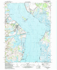 1993 Delaware City1993 Print · USGSThe Delaware riverfront and its coastal defenses appear in detail during the early nineties, showing the historic corridor between Delaware and New Jersey. Genealogists and historians can trace riverside settlements like Port Penn, the site of Fort Elfsborg, and the Finns Point National Cemetery.
 - 1999 Map of Delaware City, 2001 Print
 1999 Delaware City2001 Print · USGSThe Delaware River shoreline at the close of the twentieth century reveals a landscape defined by historic river forts and sprawling coastal wetlands. Researchers can trace the heritage of Delaware City and Port Penn or locate the Finns Point National Cemetery.
 - 2011 Map of Delaware City, 2011 Print
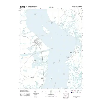 2011 Delaware City2011 Print · USGSCovers Shingle Landing, including Pennsville Township, Lower Alloways Creek Township, and other nearby areas
 - 2014 Map of Delaware City, 2014 Print
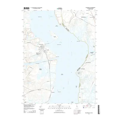 2014 Delaware City2014 Print · USGSCovers Shingle Landing, including Pennsville Township, Lower Alloways Creek Township, and other nearby areas
 - 2016 Map of Delaware City, 2016 Print
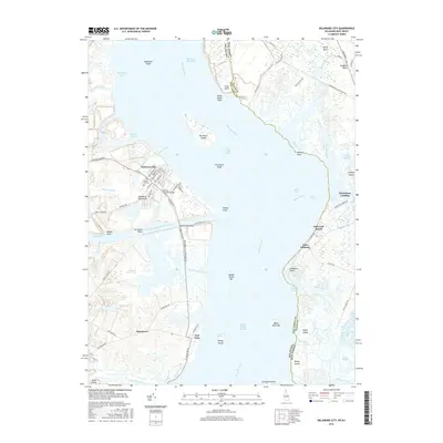 2016 Delaware City2016 Print · USGSCovers Shingle Landing, including Pennsville Township, Lower Alloways Creek Township, and other nearby areas
 - 2019 Map of Delaware City, 2019 Print
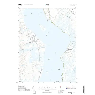 2019 Delaware City2019 Print · USGSCovers Shingle Landing, including Pennsville Township, Lower Alloways Creek Township, and other nearby areas
 - 2023 Map of Delaware City, 2023 Print
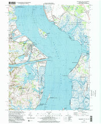
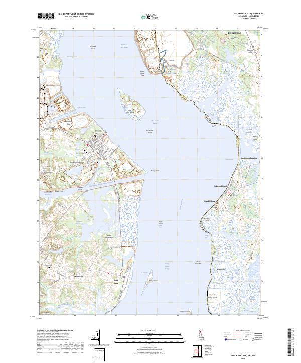 2023 Delaware City2023 Print · USGSCoastal Delaware and New Jersey meet at the mouth of the Delaware River in this recent survey. Researchers can trace historic cemeteries and maritime landmarks including Finn's Point National Cem, Pea Patch Island, and the vital Chesapeake and Delaware Canal.
End of results
Showing maps 1-19 of 19
Top cities near Shingle Landing
- Wilmington historical maps
- Newark historical maps
- Elkton historical maps
- Pennsville Township historical maps
- Smyrna historical maps
- New Garden Township historical maps
See more
Frequently asked questions
- What are the different types of historical maps available for Shingle Landing?
- What is the oldest map of Shingle Landing?
- Where can I purchase historical maps of Shingle Landing for my home or office?
- Where can I download high-res historical maps of Shingle Landing?
- Are there historical topographic maps available for Shingle Landing?
- Is there historical aerial imagery available for Shingle Landing?
- Where are historical maps of Shingle Landing sourced from?