Old Maps of Windsor, Florida for Metal Detecting
Plan your next treasure hunt with 12 historic maps of Windsor. Find old homesites, ghost towns, trails, and gathering spots that may be lost to time — perfect for identifying promising metal detecting locations.
- Locate forgotten sites: Uncover places like long-lost settlements, abandoned rail lines, or gathering spots.
- Plan better hunts: Use map overlays combined with LiDAR or satellite views to narrow in on historically rich areas.
- Made for detectorists: Thousands of hobbyists use these maps to discover relics, coins, and hidden history.
Use these historic maps to boost your research and find new opportunities beneath the surface of Windsor.
Windsor, FL maps
(12)- 1938 Map of Hawthorn
 1938 Hawthorn1938 Print · USGSAlachua County in the late thirties is a landscape of intersecting railroads and sprawling lakeside settlements. Genealogists and historians can trace the foundations of Hawthorn, locate remote burial sites like Riley Cem, and explore the rail junctions at Micanopy Junction.
 - 1943 Map of Hawthorn, 1963 Print
 1943 Hawthorn1963 Print · USGSAlachua County during the early war years reveals a landscape defined by its great lakes and a dual-railroad economy. Researchers can trace the routes of the Seaboard Air Line, locate rural landmarks like Ochwilla Church, or find family roots at Providence Cem and Drummond Cem.
 - 1954 Map of Gainesville, 1965 Print
 1954 Gainesville1965 Print · USGSMid-century North Central Florida comes into focus as a landscape of timber, rails, and river towns along the Gulf. Trace family roots in established centers like Gainesville or follow the path of the Suwannee River to the coastal docks of Cedar Key.3 unique versions available
 - 1958 Map of Gainesville
 1958 Gainesville1958 Print · USGSNorth Central Florida’s rail and river networks are frozen in time just before the interstate era. Genealogists and historians can trace the paths of the Atlantic Coast Line through Gainesville or locate coastal settlements like Steinhatchee and Cedar Key.
 - 1959 Map of Gainesville
 1959 Gainesville1959 Print · USGSNorth Florida in the mid-fifties is seen here from the Gulf coast to the inland lakes, showing the rail-and-river network before modern highways dominated. Researchers can trace the paths of the Seaboard Air Line through towns like Chiefland and Micanopy, or explore the coastal inlets of Waccasassa Bay.
 - 1966 Map of Orange Heights
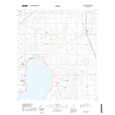
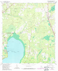 1966 Orange Heights1966 Print · USGSAlachua County's interior wetlands and Spanish land grant legacy are on full display in the mid-sixties. Genealogists and local historians can trace family roots through the Copeland Settlement, Windsor, and the Orange Heights Cem.4 unique versions available
 - 1981 Map of Gainesville, 1982 Print
 1981 Gainesville1982 Print · USGSGainesville and its surrounding North Central Florida counties are captured in the early eighties, showcasing a mix of university growth and rural agriculture. Genealogists and historians can trace small settlements like Arredondo, Wacahoota, and Island Grove alongside major rail lines like the Seaboard Coast Line.2 unique versions available
 - 2012 Map of Orange Heights, 2012 Print
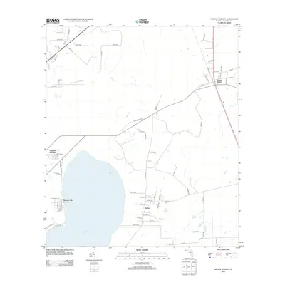 2012 Orange Heights2012 Print · USGSCovers Windsor, including Gainesville, Copeland Settlement, and other nearby areas
 - 2015 Map of Orange Heights, 2015 Print
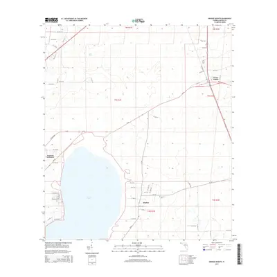 2015 Orange Heights2015 Print · USGSCovers Windsor, including Gainesville, Copeland Settlement, and other nearby areas
 - 2018 Map of Orange Heights, 2018 Print
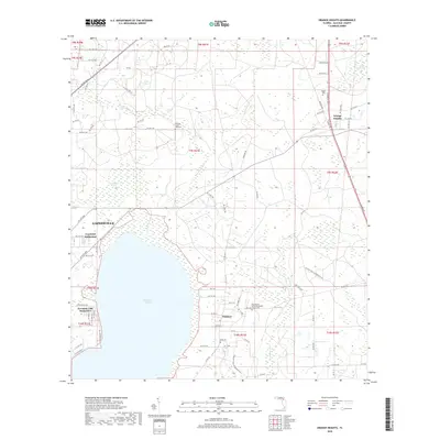 2018 Orange Heights2018 Print · USGSCovers Windsor, including Gainesville, Copeland Settlement, and other nearby areas
 - 2021 Map of Orange Heights, 2021 Print
 2021 Orange Heights2021 Print · USGSCovers Windsor, including Gainesville, Copeland Settlement, and other nearby areas
 - 2024 Map of Orange Heights, 2024 Print
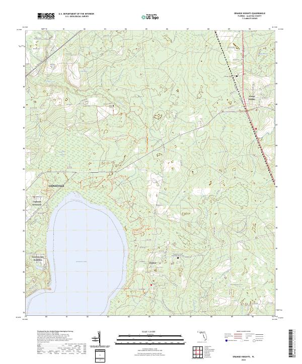 2024 Orange Heights2024 Print · USGSAlachua County's wetlands and rural communities are preserved here in the early twenty-first century. Genealogists can trace family roots at Orange Heights Cem, Windsor, and the Copeland Settlement near the shores of Newnans Lake.
End of results
Showing maps 1-12 of 12
Top cities near Windsor
- Gainesville historical maps
- Alachua historical maps
- Keystone Heights historical maps
- Hawthorne historical maps
- Waldo historical maps
- Micanopy historical maps
See more
Frequently asked questions
- What are the different types of historical maps available for Windsor?
- What is the oldest map of Windsor?
- Where can I purchase historical maps of Windsor for my home or office?
- Where can I download high-res historical maps of Windsor?
- Are there historical topographic maps available for Windsor?
- Is there historical aerial imagery available for Windsor?
- Where are historical maps of Windsor sourced from?