Old Maps of Eddy, Florida for Metal Detecting
Plan your next treasure hunt with 14 historic maps of Eddy. Find old homesites, ghost towns, trails, and gathering spots that may be lost to time — perfect for identifying promising metal detecting locations.
- Locate forgotten sites: Uncover places like long-lost settlements, abandoned rail lines, or gathering spots.
- Plan better hunts: Use map overlays combined with LiDAR or satellite views to narrow in on historically rich areas.
- Made for detectorists: Thousands of hobbyists use these maps to discover relics, coins, and hidden history.
Use these historic maps to boost your research and find new opportunities beneath the surface of Eddy.
Eddy, FL maps
(14)- 1954 Map of Valdosta, 1967 Print
 1954 Valdosta1967 Print · USGSThe South Georgia and North Florida borderlands are captured here in the mid-fifties, showing the deep timber and wetland networks of the coastal plain. Researchers can trace the path of the Atlantic Coast Line through Valdosta or explore the interior of the Okefenokee Swamp.2 unique versions available
 - 1956 Map of Eddy, 1957 Print
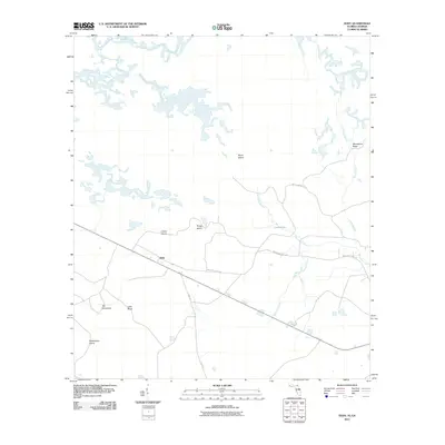
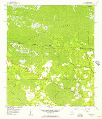 1956 Eddy1957 Print · USGSThe Florida-Georgia borderlands are captured here in the mid-1950s, dominated by the intersection of rail transit and vast wetlands. You can trace the Southern railroad through the settlement of Eddy and locate the Eddy Lookout Tower deep within the Okefenokee Swamp.
 - 1958 Map of Valdosta
 1958 Valdosta1958 Print · USGSSouth Georgia and North Florida are captured here in the mid-fifties, showing the vast Okefenokee Swamp and the vital timber and rail corridors connecting the two states. Researchers can locate the footprint of Moody Air Force Base, trace the Live Oak Perry and Gulf railroad, or find early community sites like Bakers Mill and Paradise Church.
 - 1959 Map of Valdosta
 1959 Valdosta1959 Print · USGSThe Georgia-Florida borderlands in the mid-fifties reveal a landscape of massive blackwater swamps and emerging military aviation hubs. Genealogists and historians can trace rail-stop towns like Fargo and Stockton or explore the interior reaches of the Okefenokee Swamp and Billys Island.
 - 1967 Map of Eddy, 1968 Print
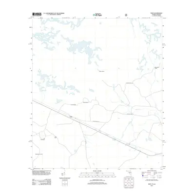
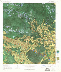 1967 Eddy1968 Print · USGSThe Florida-Georgia borderlands near the Okefenokee Swamp are captured in the late 1960s, showing a remote landscape of wetlands and rails. Trace the path of the Southern railroad past the Radio Lookout Tower and islands like Mitchell Island.
 - 1980 Map of Okefenokee Swamp, 1981 Print
 1980 Okefenokee Swamp1981 Print · USGSThe Georgia-Florida borderlands come to life in the early 1980s, centered on the immense wilderness of the Okefenokee Swamp. Genealogists and historians can trace rail-stop settlements like Fargo and Fruitland or explore the interior geography of Billys Island and Trail Ridge.
 - 1994 Map of Eddy
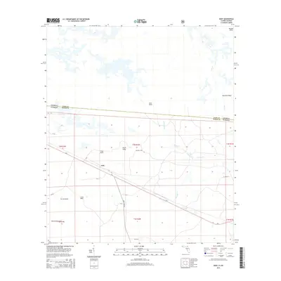
 1994 Eddy1994 Print · USGSThe swampy borderlands of Baker County, Florida, and Ware County, Georgia, come into focus in the early 1990s. Local history researchers can trace the remote settlement of Eddy or explore the interior hydrology of the Okefenokee Swamp around Lake Holes and Mims Island.
 - 2006 Map of Eddy, 2007 Print
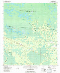
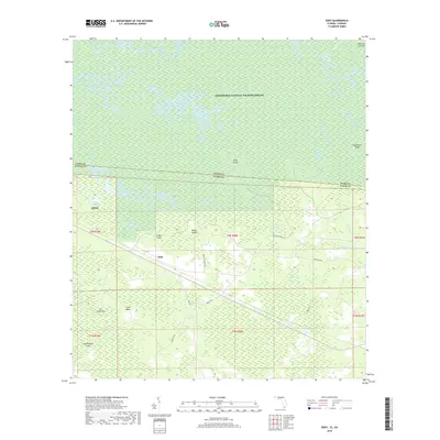
 2006 Eddy2007 Print · USGSThe Florida-Georgia borderland is captured here at the start of the twenty-first century, showing the meeting point of three major public forests and refuges. Researchers can trace the rural settlement at Eddy, locate the Eddy Tower Lookout, and follow the remote path of the Eddy Grade through the Pinhook Swamp.
 - 2011 Map of Eddy, 2011 Print
 2011 Eddy2011 Print · USGSCovers Eddy, including Ware County, Baker County, and other nearby areas
 - 2012 Map of Eddy, 2012 Print
 2012 Eddy2012 Print · USGSCovers Eddy, including Ware County, Baker County, and other nearby areas
 - 2015 Map of Eddy, 2015 Print
 2015 Eddy2015 Print · USGSCovers Eddy, including Ware County, Baker County, and other nearby areas
 - 2018 Map of Eddy, 2018 Print
 2018 Eddy2018 Print · USGSCovers Eddy, including Ware County, Baker County, and other nearby areas
 - 2021 Map of Eddy, 2021 Print
 2021 Eddy2021 Print · USGSCovers Eddy, including Ware County, Baker County, and other nearby areas
 - 2024 Map of Eddy, 2024 Print
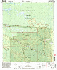
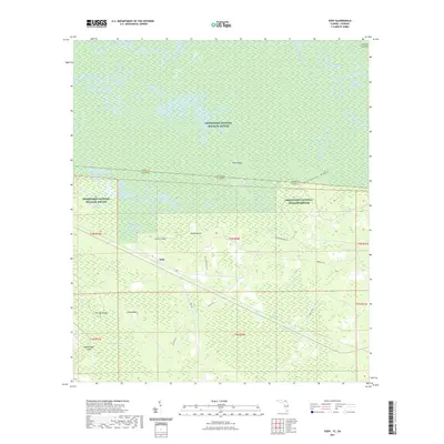
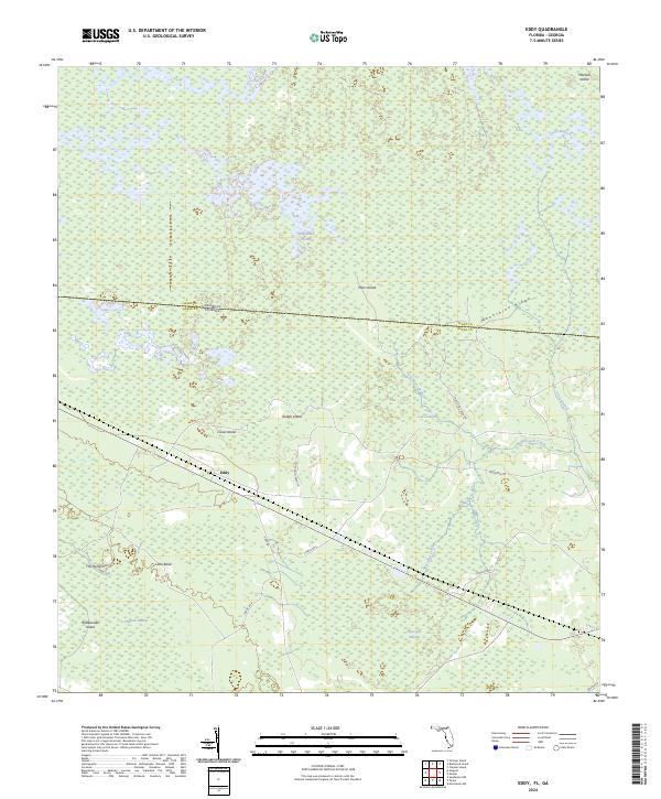 2024 Eddy2024 Print · USGSThe Florida-Georgia borderlands come to life in this contemporary survey of the swampy interior north of Macclenny. Local history researchers can trace the roads around Eddy and locate named features like Moonshine Ridge, Lake Holes, and Rattlesnake Island.
End of results
Showing maps 1-14 of 14
Top cities near Eddy
Frequently asked questions
- What are the different types of historical maps available for Eddy?
- What is the oldest map of Eddy?
- Where can I purchase historical maps of Eddy for my home or office?
- Where can I download high-res historical maps of Eddy?
- Are there historical topographic maps available for Eddy?
- Is there historical aerial imagery available for Eddy?
- Where are historical maps of Eddy sourced from?