2020s Maps of Weston, Broward County
Explore 8 historic maps of Weston from the 2020s. These maps offer a rare glimpse into what life looked like during the 2020s — showing old roads, neighborhoods, homes, and landmarks that have changed or disappeared over time.
Whether you're researching your family's past, planning a metal detecting trip, or studying how Weston's landscape evolved across the 2020s, these high-resolution maps are a powerful tool for exploring the history of this region.
- Focus on a specific era: All maps on this page are from the 2020s, giving you a focused view of this time period.
- See what’s changed: Compare century-old streets, trails, and buildings to today's modern landscape using overlays and satellite layers.
- Research with precision: Use these maps for genealogy, historical research, land use analysis, or educational projects.
- View, download, or print: Maps are fully viewable online in high resolution, and can be downloaded or printed for your own records.
Start exploring Weston's history through authentic maps from the 2020s. This is your window into the past.
Weston, Broward County maps
(8)- 2021 Map of Cooper City SW, 2021 Print
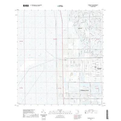 2021 Cooper City SW2021 Print · USGSCovers Weston, including Southwest Ranches, Broward County, and other nearby areas
 - 2021 Map of Andytown, 2021 Print
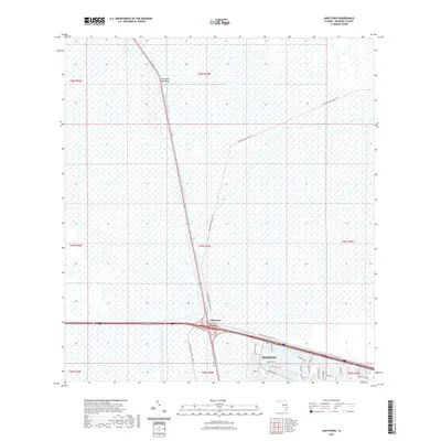 2021 Andytown2021 Print · USGSCovers Weston, including Andytown, Broward County, and other nearby areas
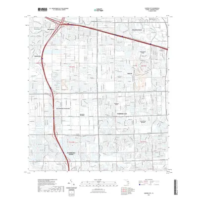
 - 2021 Map of Cooper City NE, 2021 Print
 2021 Cooper City NE2021 Print · USGSCovers Weston, including Sunrise, Plantation Acres, and other nearby areas
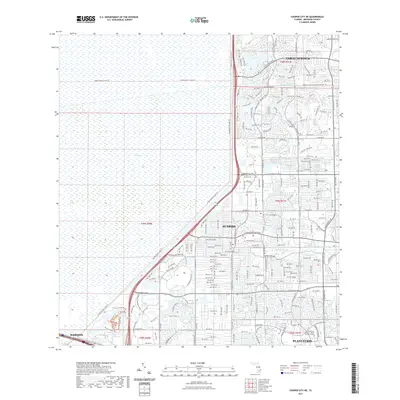
 - 2021 Map of Cooper City, 2021 Print
 2021 Cooper City2021 Print · USGSCovers Weston, including Pembroke Pines, Cooper City, and other nearby areas
 - 2024 Map of Andytown, 2024 Print
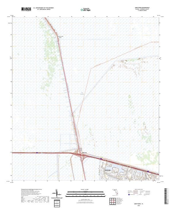 2024 Andytown2024 Print · USGSThe Everglades meet the modern suburban fringe in the 2020s, revealing how water management defines the Broward County landscape. Trace the North New River Canal and the edge of Weston alongside landmarks like Andytown.
 - 2024 Map of Cooper City NE, 2024 Print
 2024 Cooper City NE2024 Print · USGSWestern Broward County is captured here in 2024 at the edge of the wetlands. Researchers can trace the suburban limits of Sunrise and Tamarac against the boundary of The Everglades and the Conservation Levee Trl.
 - 2024 Map of Cooper City SW, 2024 Print
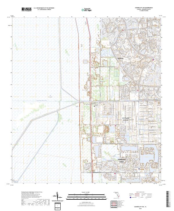 2024 Cooper City SW2024 Print · USGSBroward County’s western edge meets the wilderness in this contemporary survey of suburban Florida’s frontier. Trace the sharp boundary of The Everglades where it meets Weston and the quiet, rural residential pockets of Rolling Oaks.
 - 2024 Map of Cooper City, 2024 Print
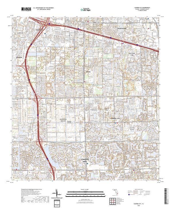 2024 Cooper City2024 Print · USGSBroward County's suburban landscape is meticulously mapped here in the early twenty-first century, showing the integration of water management and residential growth. Trace the borders of Sunshine Ranches and Pine Island Ridge alongside the historic North New River Canal.
End of results
Showing maps 1-8 of 8
Frequently asked questions
- What are the different types of historical maps available for Weston?
- What is the oldest map of Weston?
- Where can I purchase historical maps of Weston for my home or office?
- Where can I download high-res historical maps of Weston?
- Are there historical topographic maps available for Weston?
- Is there historical aerial imagery available for Weston?
- Where are historical maps of Weston sourced from?