Old Maps of Weston, Broward County for Academic Research
Study the evolution of Weston with 31 high-resolution historic maps. Whether you're teaching, researching, or modeling changes in land use, these maps provide essential visual documentation of urban, environmental, and geographic change.
- Analyze long-term change: Track patterns in development, transportation, and natural features.
- Ideal for environmental or urban studies: Support academic projects with primary historical map data.
- Use in the classroom or lab: Educators and researchers rely on these maps to bring historical context to life.
These maps are a powerful tool for teaching, research, and visualizing how Weston has changed over the decades.
Weston, Broward County maps
(31)- 1956 Map of West Palm Beach, 1964 Print
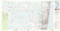
 1956 West Palm Beach1964 Print · USGSSouth Florida during the mid-fifties exhibits a fascinating balance between expanding coastal cities and the vast interior wetlands. Researchers can trace the development of inland settlements like Immokalee and Okeelanta or locate vanished landmarks like Chosen and Buckingham Cem.2 unique versions available
 - 1957 Map of West Palm Beach
 1957 West Palm Beach1957 Print · USGSSouthern Florida in the mid-fifties reveals a landscape defined by massive drainage canals and the early expansion of the Gold Coast. Genealogists and historians can trace industrial outposts like the Sugar plant and Everglades Labor Center, or locate the Jupiter Auxiliary Air Force Base.
 - 1958 Map of West Palm Beach
 1958 West Palm Beach1958 Print · USGSSouth Florida in the late fifties was a land of transition between massive agricultural works and rapid coastal growth. Genealogists and historians can trace old canal networks, early rail lines like the Florida East Coast, and landmarks like the Moore Haven Lock or Jupiter Auxiliary Air Force Base.2 unique versions available
 - 1963 Map of Andytown, 1964 Print
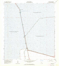 1963 Andytown1964 Print · USGSBroward County in the early sixties was a landscape of massive water management projects and emerging infrastructure. You can trace the early engineering of the Everglades through Andytown and landmarks like Twentysix Mile Bend and the New River Canal.3 unique versions available
 - 1963 Map of Cooper City SW, 1964 Print
 1963 Cooper City SW1964 Print · USGSBroward County’s transition from Everglades marsh to a managed landscape is clear in this early 1960s survey. Researchers can trace the massive engineering of Levee No 37 and the South New River Canal alongside early routes like Griffin Road.4 unique versions available
 - 1963 Map of Cooper City NE, 1964 Print
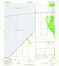 1963 Cooper City NE1964 Print · USGSBroward County in the early sixties showcases the intersection of Everglades conservation and rapid suburban growth. Trace the engineering of the landscape through Levee No 35A and the Lauderhill Corporate Boundary near Our Saviour Ch.4 unique versions available
 - 1963 Map of Cooper City, 1965 Print
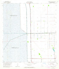
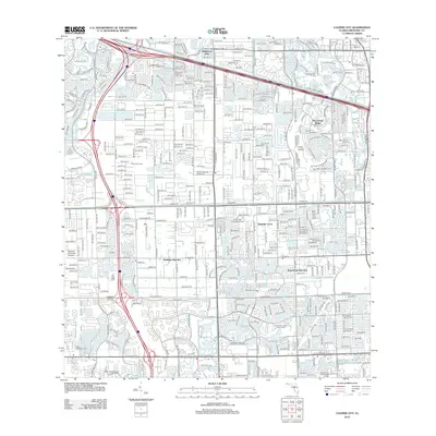
 1963 Cooper City1965 Print · USGSBroward County’s transition from citrus and drainage canals to suburban neighborhoods is captured in the early sixties. Researchers can trace early boundaries of Cooper City and Davie, or locate landmarks like the USDA Experimental Station and Holy Sacrament Ch.4 unique versions available
 - 1981 Map of Fort Lauderdale, 1983 Print
 1981 Fort Lauderdale1983 Print · USGSSoutheast Florida’s Atlantic coast meets the vast interior wetlands in the early eighties as urban growth pushed against the managed glades. Trace the suburban expansion near Fort Lauderdale alongside the Florida East Coast RR and the remote reaches of Deem City.
 - 1985 Map of Fort Lauderdale, 1986 Print
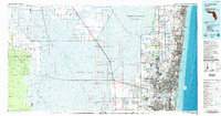 1985 Fort Lauderdale1986 Print · USGSSoutheast Florida’s Atlantic coast and vast interior wetlands are captured here during a decade of rapid coastal expansion and environmental management. Researchers can trace the development of beach communities like Boca Raton and Deerfield Beach alongside the massive canal systems of the Everglades.2 unique versions available
 - 1987 Map of West Palm Beach, 1988 Print
 1987 West Palm Beach1988 Print · USGSSouth Florida is captured in the mid-1980s, showcasing the intricate balance between rapid coastal growth and the vast interior wetlands. Researchers can trace the drainage canals of The Everglades or locate the boundaries of the Big Cypress Seminole Indian Reservation and Loxahatchee National Wildlife Refuge.2 unique versions available
 - 1994 Map of Cooper City, 2000 Print
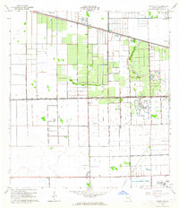
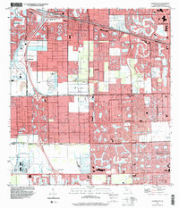 1994 Cooper City2000 Print · USGSBroward County’s suburban growth and canal engineering are on full display in the mid-nineties as Cooper City and Davie expand. Local researchers can locate landmark sites like Camp Seminole (BSA), the South Florida State Hospital, and Treetops Regional Park.
 - 2012 Map of Andytown, 2012 Print
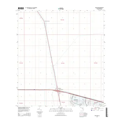
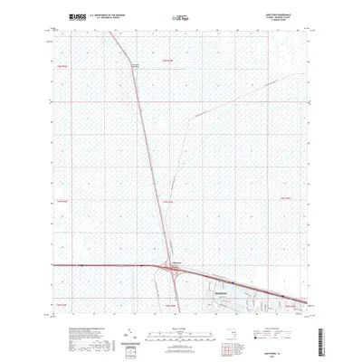
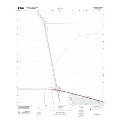 2012 Andytown2012 Print · USGSCovers Weston, including Andytown, Broward County, and other nearby areas
 - 2012 Map of Cooper City, 2012 Print
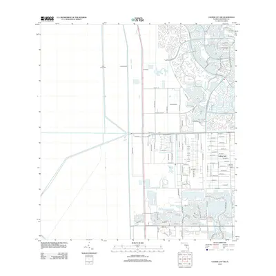
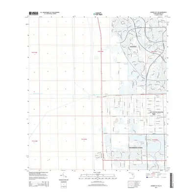
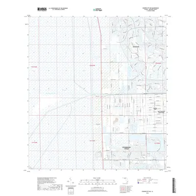
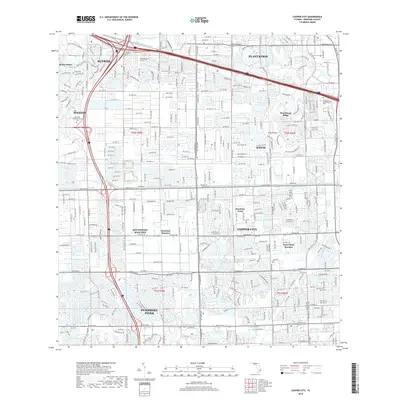
 2012 Cooper City2012 Print · USGSCovers Weston, including Pembroke Pines, Cooper City, and other nearby areas
 - 2012 Map of Cooper City NE, 2012 Print
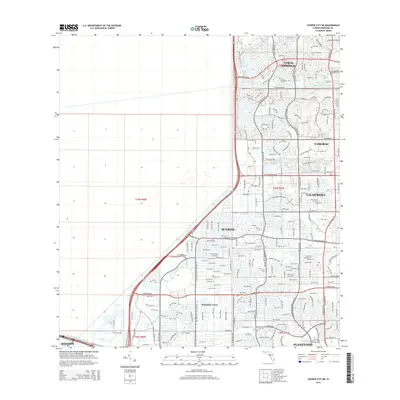
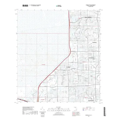
 2012 Cooper City NE2012 Print · USGSCovers Weston, including Sunrise, Plantation Acres, and other nearby areas
 - 2012 Map of Cooper City SW, 2012 Print
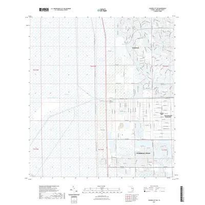
 2012 Cooper City SW2012 Print · USGSCovers Weston, including Southwest Ranches, Broward County, and other nearby areas
 - 2015 Map of Andytown, 2015 Print
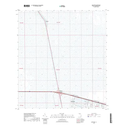
 2015 Andytown2015 Print · USGSCovers Weston, including Andytown, Broward County, and other nearby areas
 - 2015 Map of Cooper City NE, 2015 Print
 2015 Cooper City NE2015 Print · USGSCovers Weston, including Sunrise, Plantation Acres, and other nearby areas
 - 2015 Map of Cooper City SW, 2015 Print
 2015 Cooper City SW2015 Print · USGSCovers Weston, including Southwest Ranches, Broward County, and other nearby areas
 - 2015 Map of Cooper City, 2015 Print
 2015 Cooper City2015 Print · USGSCovers Weston, including Pembroke Pines, Cooper City, and other nearby areas
 - 2018 Map of Cooper City SW, 2018 Print
 2018 Cooper City SW2018 Print · USGSCovers Weston, including Southwest Ranches, Broward County, and other nearby areas
 - 2018 Map of Andytown, 2018 Print
 2018 Andytown2018 Print · USGSCovers Weston, including Andytown, Broward County, and other nearby areas
 - 2018 Map of Cooper City NE, 2018 Print
 2018 Cooper City NE2018 Print · USGSCovers Weston, including Sunrise, Plantation Acres, and other nearby areas
 - 2018 Map of Cooper City, 2018 Print
 2018 Cooper City2018 Print · USGSCovers Weston, including Pembroke Pines, Cooper City, and other nearby areas
 - 2021 Map of Cooper City SW, 2021 Print
 2021 Cooper City SW2021 Print · USGSCovers Weston, including Southwest Ranches, Broward County, and other nearby areas
 - 2021 Map of Andytown, 2021 Print
 2021 Andytown2021 Print · USGSCovers Weston, including Andytown, Broward County, and other nearby areas
Showing maps 1-25 of 31
Frequently asked questions
- What are the different types of historical maps available for Weston?
- What is the oldest map of Weston?
- Where can I purchase historical maps of Weston for my home or office?
- Where can I download high-res historical maps of Weston?
- Are there historical topographic maps available for Weston?
- Is there historical aerial imagery available for Weston?
- Where are historical maps of Weston sourced from?