Old Maps of Abe Springs, Florida for Hiking & Exploration
Hike through history with 12 historic maps of Abe Springs. Explore old trails, ghost towns, and forgotten backroads — perfect for outdoor adventurers and local explorers.
- Rediscover forgotten places: Map out old mining camps, roads, and footpaths that no longer exist on modern maps.
- Layer with modern tools: Combine with LiDAR or satellite views to plan hikes through historical terrain.
- Made for exploration: Popular among hikers, overlanders, and local history lovers.
Use these maps to find adventure and explore the hidden past of Abe Springs.
Abe Springs, FL maps
(12)- 1945 Map of Frink
 1945 Frink1945 Print · USGSCalhoun County's river-driven landscape is captured here in the mid-1940s, showing the early infrastructure of the Chipola River valley. Genealogists and historians can locate rural landmarks like the Abe Springs Sch, S McClellan Cem, and Pitts Mill Pond.3 unique versions available
 - 1954 Map of Tallahassee, 1967 Print
 1954 Tallahassee1967 Print · USGSThe Florida Panhandle and South Georgia are captured here during a period of mid-century growth and military expansion. Researchers can trace the development of Panama City, the footprint of Tyndall Air Force Base, and the rail lines of the Atlantic Coast Line.4 unique versions available
 - 1959 Map of Tallahassee
 1959 Tallahassee1959 Print · USGSFlorida's Panhandle and the Big Bend region appear here in the mid-fifties, showing a landscape defined by its great river systems and developing coast. Trace the early layout of Panama City, the expansive Apalachicola National Forest, and the coastal St Marks Lighthouse.
 - 1960 Map of Tallahassee
 1960 Tallahassee1960 Print · USGSThe Florida Panhandle and southern Georgia are captured here in the mid-twentieth century, showing a region defined by its rivers and military installations. Genealogists and historians can trace the growth of Tallahassee or locate coastal landmarks like the St Marks Lighthouse and Tyndall Air Force Base.
 - 1981 Map of Panama City
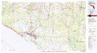 1981 Panama City1981 Print · USGSPanama City and the Florida Panhandle coast are captured here in the early eighties, showing the region's balance of military installations and maritime industry. Researchers can trace the Atlanta and St Andrews Bay RR or locate coastal sites like Tyndall Air Force Base and Dead Lake.2 unique versions available
 - 1988 Map of Tallahassee
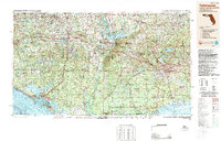 1988 Tallahassee1988 Print · USGSThe Florida Panhandle and South Georgia are captured here in the late eighties, showing the expansion of the regional highway network and coastal growth. Genealogists and historians can trace rail lines like the Seaboard System Railroad or locate family roots in Blountstown, Graceville, or Crawfordville.2 unique versions available
 - 1990 Map of Frink
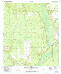 1990 Frink1990 Print · USGSCalhoun County in the early nineties remains a landscape of river-bottom swamps and quiet crossroads. Genealogists and historians can trace family roots through the McClellan Cem or locate community hubs like Scotts Ferry and Kinard Ch.
 - 2012 Map of Frink, 2012 Print
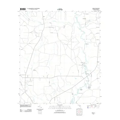 2012 Frink2012 Print · USGSCalhoun County's river-dependent landscape is documented here during the early twenty-first century as the Chipola River flows toward the Dead Lakes. Genealogists and local historians can trace legacy sites like McClellan Cem, Scotts Ferry, and Abe Springs.
 - 2015 Map of Frink, 2015 Print
 2015 Frink2015 Print · USGSIn the Florida Panhandle during the twenty-tens, the river-centric communities of Calhoun County remained centered on the Chipola River. Genealogists and local historians can trace family-named sites like McClellan Cem and long-standing river landings at Scotts Ferry and Abe Springs.
 - 2018 Map of Frink, 2018 Print
 2018 Frink2018 Print · USGSCalhoun County's river-fed lowlands are captured here in the late 2010s, centered on the rural communities of Frink and Kinard. Genealogists and local historians can trace family-named routes and landmarks like McClellan Cem, Red Bug Island, and the landing at Scotts Ferry.
 - 2021 Map of Frink, 2021 Print
 2021 Frink2021 Print · USGSCalhoun County's river-bottom lands are mapped here in the early twenty-first century, centered on the winding Chipola River. Genealogists and local historians can trace family-named roads and settlements such as Scotts Ferry, Kinard, and the McClellan Cem.
 - 2024 Map of Frink, 2024 Print
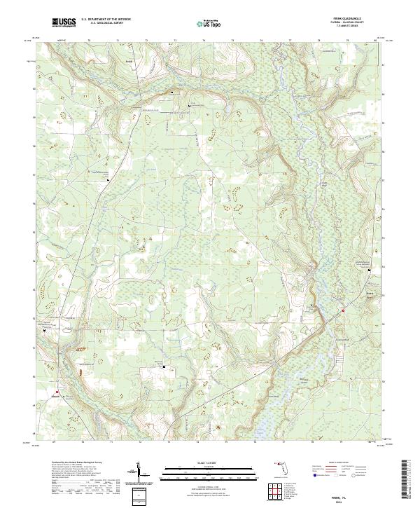 2024 Frink2024 Print · USGSCalhoun County's river-bottom lands and small settlements are documented here in the early twenty-first century. Genealogists can trace family footprints at Billy Cook Family Cem and Scotts Ferry Cem or locate the old landing at Coconut Bluff.
End of results
Showing maps 1-12 of 12
Top cities near Abe Springs
Frequently asked questions
- What are the different types of historical maps available for Abe Springs?
- What is the oldest map of Abe Springs?
- Where can I purchase historical maps of Abe Springs for my home or office?
- Where can I download high-res historical maps of Abe Springs?
- Are there historical topographic maps available for Abe Springs?
- Is there historical aerial imagery available for Abe Springs?
- Where are historical maps of Abe Springs sourced from?