Old Maps of Kingsley Beach, Florida for Hiking & Exploration
Hike through history with 13 historic maps of Kingsley Beach. Explore old trails, ghost towns, and forgotten backroads — perfect for outdoor adventurers and local explorers.
- Rediscover forgotten places: Map out old mining camps, roads, and footpaths that no longer exist on modern maps.
- Layer with modern tools: Combine with LiDAR or satellite views to plan hikes through historical terrain.
- Made for exploration: Popular among hikers, overlanders, and local history lovers.
Use these maps to find adventure and explore the hidden past of Kingsley Beach.
Kingsley Beach, FL maps
(13)- 1942 Map of Ates Creek
 1942 Ates Creek1942 Print · USGSNorthern Florida's training grounds and rural settlements come into focus during the early mobilization of the Second World War. Researchers can trace the military layout of Camp Blanding alongside the agricultural colony at Penney Farms and the springs of Gold Head Branch.
 - 1949 Map of Kingsley, 1953 Print
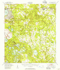
 1949 Kingsley1953 Print · USGSClay County's interior is defined by military and naval operations in the years following the war. Researchers can trace the extensive grounds of Camp Blanding, the circular shore of Kingsley Lake, and the remote Belmore Air Field U S Navy.3 unique versions available
 - 1949 Map of Ates Creek, 1955 Print
 1949 Ates Creek1955 Print · USGSClay County during the post-war era shows a landscape transitioning between military readiness and civilian growth. Researchers can locate the sprawling Camp Blanding facilities, the planned community of Penney Farms, and historic sites like Beulah Cem.2 unique versions available
 - 1954 Map of Daytona Beach, 1974 Print
 1954 Daytona Beach1974 Print · USGSNortheast Florida is captured in the mid-1950s, showing the transition from river-based commerce to coastal tourism. Researchers can trace the Florida East Coast rail lines and find historic sites like Castillo de San Marcos Nat Mon and Palatka.
 - 1958 Map of Daytona Beach
 1958 Daytona Beach1958 Print · USGSThe Florida coast and St. Johns River valley are captured in the late 1950s, showing a landscape defined by citrus-belt rail towns and Atlantic shorelines. Genealogists can trace family roots through riverside settlements like Palatka and Welaka or coastal hubs like Daytona Beach.2 unique versions available
 - 1964 Map of Daytona Beach
 1964 Daytona Beach1964 Print · USGSCoastal Florida in the mid-1960s shows a fascinating balance between burgeoning beach tourism and the deep interior wilderness of the Ocala National Forest. Researchers can trace the path of the Florida East Coast railway through historic settlements like St. Augustine, Marineland, and Palatka.
 - 1981 Map of Saint Augustine, 1982 Print
 1981 Saint Augustine1982 Print · USGSNortheast Florida in the early eighties shows a landscape of deep river commerce and coastal growth. Genealogists and historians can trace the inland rail network of the Seaboard Coast Line through rural Hastings or explore the military footprint of Camp Blanding.2 unique versions available
 - 1992 Map of Kingsley, 1993 Print
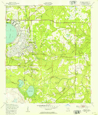
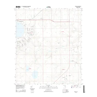
 1992 Kingsley1993 Print · USGSClay County at the start of the 1990s is captured here, centering on the massive military footprint and forest management areas near the Starke border. Researchers can locate family sites like Old Conway Cem and Buelah Ch, or trace the development of Kingsley Beach along the lakeshore.
 - 2012 Map of Kingsley, 2012 Print
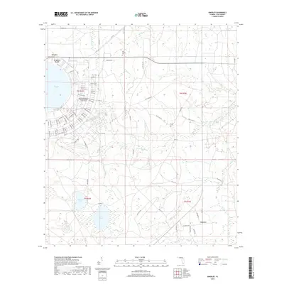
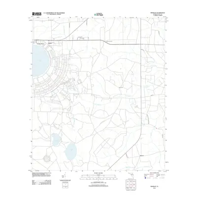 2012 Kingsley2012 Print · USGSCovers Kingsley Beach, including Kingsley, Belmore, and other nearby areas
 - 2015 Map of Kingsley, 2015 Print
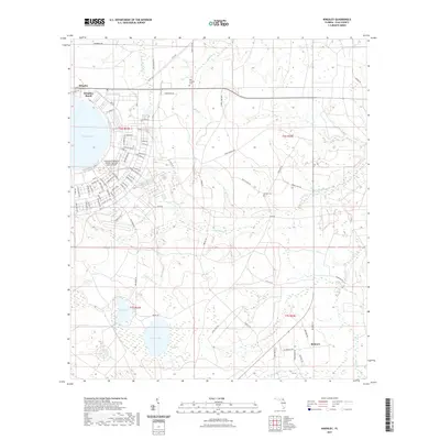
 2015 Kingsley2015 Print · USGSCovers Kingsley Beach, including Kingsley, Belmore, and other nearby areas
 - 2018 Map of Kingsley, 2018 Print
 2018 Kingsley2018 Print · USGSCovers Kingsley Beach, including Kingsley, Belmore, and other nearby areas
 - 2021 Map of Kingsley, 2021 Print
 2021 Kingsley2021 Print · USGSCovers Kingsley Beach, including Kingsley, Belmore, and other nearby areas
 - 2024 Map of Kingsley, 2024 Print
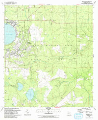
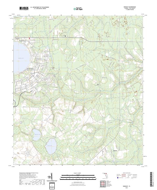 2024 Kingsley2024 Print · USGSIn the Clay County interior, this contemporary survey captures the interplay between the circular Kingsley Lake and the established Camp Blanding military grounds. Local historians can trace family roots at Old Conway Cem or Beulah Cem and explore the rural character of Belmore.
End of results
Showing maps 1-13 of 13
Top cities near Kingsley Beach
- Jacksonville historical maps
- Middleburg historical maps
- Starke historical maps
- Keystone Heights historical maps
- Waldo historical maps
- Lawtey historical maps
See more
Frequently asked questions
- What are the different types of historical maps available for Kingsley Beach?
- What is the oldest map of Kingsley Beach?
- Where can I purchase historical maps of Kingsley Beach for my home or office?
- Where can I download high-res historical maps of Kingsley Beach?
- Are there historical topographic maps available for Kingsley Beach?
- Is there historical aerial imagery available for Kingsley Beach?
- Where are historical maps of Kingsley Beach sourced from?