Old Maps of Reston, Florida for Academic Research
Study the evolution of Reston with 13 high-resolution historic maps. Whether you're teaching, researching, or modeling changes in land use, these maps provide essential visual documentation of urban, environmental, and geographic change.
- Analyze long-term change: Track patterns in development, transportation, and natural features.
- Ideal for environmental or urban studies: Support academic projects with primary historical map data.
- Use in the classroom or lab: Educators and researchers rely on these maps to bring historical context to life.
These maps are a powerful tool for teaching, research, and visualizing how Reston has changed over the decades.
Reston, FL maps
(13)- 1954 Map of Tallahassee, 1967 Print
 1954 Tallahassee1967 Print · USGSThe Florida Panhandle and South Georgia are captured here during a period of mid-century growth and military expansion. Researchers can trace the development of Panama City, the footprint of Tyndall Air Force Base, and the rail lines of the Atlantic Coast Line.4 unique versions available
 - 1959 Map of Tallahassee
 1959 Tallahassee1959 Print · USGSFlorida's Panhandle and the Big Bend region appear here in the mid-fifties, showing a landscape defined by its great river systems and developing coast. Trace the early layout of Panama City, the expansive Apalachicola National Forest, and the coastal St Marks Lighthouse.
 - 1960 Map of Tallahassee
 1960 Tallahassee1960 Print · USGSThe Florida Panhandle and southern Georgia are captured here in the mid-twentieth century, showing a region defined by its rivers and military installations. Genealogists and historians can trace the growth of Tallahassee or locate coastal landmarks like the St Marks Lighthouse and Tyndall Air Force Base.
 - 1963 Map of Havana South, 1964 Print
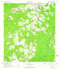 1963 Havana South1964 Print · USGSGadsden County at the start of the 1960s shows a landscape defined by the Seaboard Air Line and the winding Ochlockonee River. Genealogists and local historians can trace rural communities through landmarks like China Hill Ch, Pine Park Sch, and the Nicholson-Freeman Cem.
 - 1978 Map of Bainbridge, 1980 Print
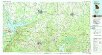 1978 Bainbridge1980 Print · USGSIn the late seventies, this Georgia-Florida borderland was defined by the confluence of the Flint and Chattahoochee rivers. Trace the region's infrastructure via the Seaboard Coast Line Railroad and find sites like Bainbridge State Hospital.
 - 1982 Map of Havana South, 1983 Print
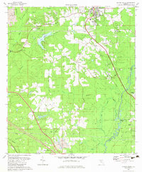 1982 Havana South1983 Print · USGSGadsden County in the early eighties shows a transition from rural timber and mining lands toward expanding residential and aviation hubs. Genealogists and local historians can locate several family-named sites like Ferrell Cem and Hopewell Cem, or trace the rail-side settlements of Scotland and Gibson.
 - 1988 Map of Tallahassee
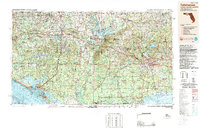 1988 Tallahassee1988 Print · USGSThe Florida Panhandle and South Georgia are captured here in the late eighties, showing the expansion of the regional highway network and coastal growth. Genealogists and historians can trace rail lines like the Seaboard System Railroad or locate family roots in Blountstown, Graceville, or Crawfordville.2 unique versions available
 - 1994 Map of Havana South, 1998 Print
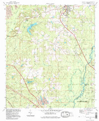 1994 Havana South1998 Print · USGSGadsden County in the 1990s was a landscape where tobacco-growing history met the wild wetlands of the Ochlockonee. Local historians can trace old homesteads near Scotland and Gibson, or locate family sites like Nicholson-Freeman Cem and St James Ch.
 - 2012 Map of Havana South, 2012 Print
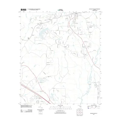 2012 Havana South2012 Print · USGSGadsden County at the start of the 2010s reveals a landscape of quiet agricultural settlements and riverine wetlands along the Ochlockonee River. Genealogists and local historians can trace family sites at Nicholson Freeman Cem, Woodland Cem, and the community of Scotland.
 - 2015 Map of Havana South, 2015 Print
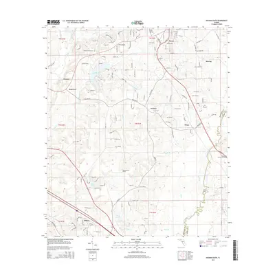 2015 Havana South2015 Print · USGSGadsden County south of Havana shows a landscape of river bends and rural aviation in the mid-2010s. Genealogists and local historians can locate Woodland Cem, the Nicholson-Freeman Cem, and traces of settlements like Scotland and Gibson.
 - 2018 Map of Havana South, 2018 Print
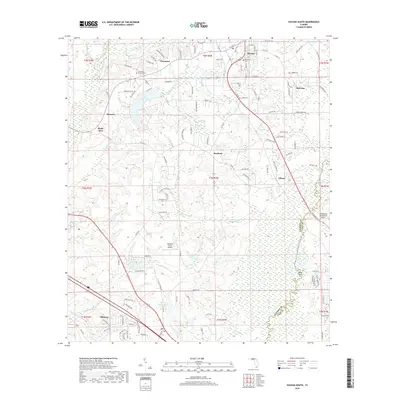 2018 Havana South2018 Print · USGSGadsden County at the end of the 2010s shows a mix of rural aviation and historic settlements along the Leon County border. Researchers can trace family history at Woodland Cem or explore the area's development near Midway and Lake Tallavana.
 - 2021 Map of Havana South, 2021 Print
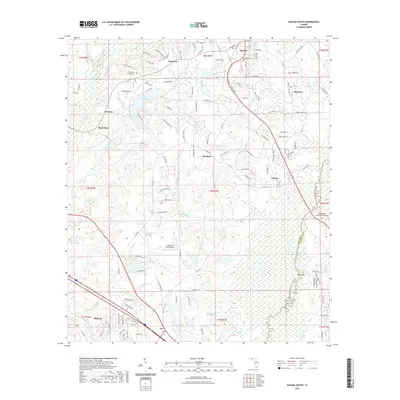 2021 Havana South2021 Print · USGSGadsden County at the start of the 2020s shows a landscape of established Panhandle towns and significant riverine wetlands. Researchers can trace the Ochlockonee River corridor, locate ancestral sites at Woodland Cem, or explore the environs of Havana and Midway.
 - 2024 Map of Havana South, 2024 Print
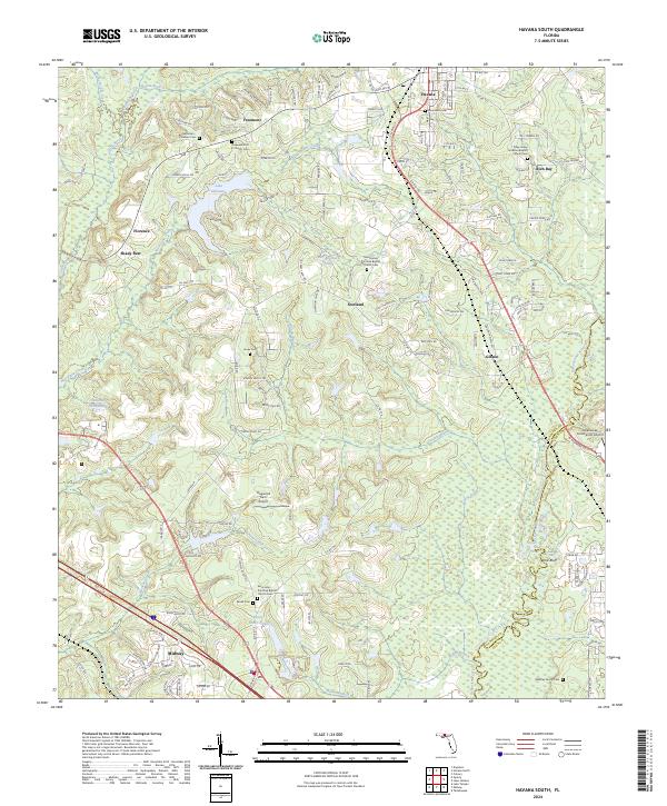 2024 Havana South2024 Print · USGSGadsden County at the edge of Leon County is documented here in the contemporary era, showing a landscape defined by small settlements and historic rural congregations. Genealogists can trace family burial grounds like Nicholson - Freeman Cem and Whatley Family Cem alongside landmarks such as Tallahassee Commercial Airport.
End of results
Showing maps 1-13 of 13
Frequently asked questions
- What are the different types of historical maps available for Reston?
- What is the oldest map of Reston?
- Where can I purchase historical maps of Reston for my home or office?
- Where can I download high-res historical maps of Reston?
- Are there historical topographic maps available for Reston?
- Is there historical aerial imagery available for Reston?
- Where are historical maps of Reston sourced from?