Old Maps of Bell, Florida
Explore 16 old maps of Bell, spanning from 1954 to today. These high-resolution historic maps reveal how streets, neighborhoods, landmarks, and natural features evolved over time — perfect for genealogy, metal detecting, research, and local history exploration.
What you can do with these maps:
- See how Bell changed over time: Compare historical maps to modern-day views to trace roads, homesites, rail lines & more.
- View detailed metadata: Each map includes creators, publishers, year, scale, and archive source.
- Overlay maps with satellite & LiDAR: Visualize the past alongside modern tools to explore terrain & human change.
- Trusted historical sources: Maps sourced from the USGS, Library of Congress, and other archives.
- Access maps your way: View online, download high-res files, or order prints for personal or research use.
Start exploring old maps of Bell to uncover forgotten places, hidden landmarks, and the deep history beneath your feet.
Bell, FL maps
(16)- 1954 Map of Gainesville, 1965 Print
 1954 Gainesville1965 Print · USGSMid-century North Central Florida comes into focus as a landscape of timber, rails, and river towns along the Gulf. Trace family roots in established centers like Gainesville or follow the path of the Suwannee River to the coastal docks of Cedar Key.3 unique versions available
 - 1958 Map of Gainesville
 1958 Gainesville1958 Print · USGSNorth Central Florida’s rail and river networks are frozen in time just before the interstate era. Genealogists and historians can trace the paths of the Atlantic Coast Line through Gainesville or locate coastal settlements like Steinhatchee and Cedar Key.
 - 1959 Map of Gainesville
 1959 Gainesville1959 Print · USGSNorth Florida in the mid-fifties is seen here from the Gulf coast to the inland lakes, showing the rail-and-river network before modern highways dominated. Researchers can trace the paths of the Seaboard Air Line through towns like Chiefland and Micanopy, or explore the coastal inlets of Waccasassa Bay.
 - 1968 Map of Fourmile Lake, 1971 Print
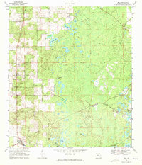
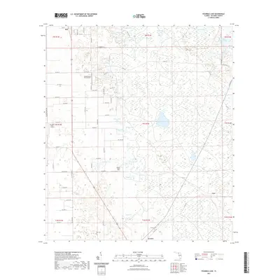
 1968 Fourmile Lake1971 Print · USGSGilchrist County in the late sixties remained a landscape of rural settlements and cypress-lined ponds. Genealogists can trace family sites near Trenton, Joppa Cemetery, and community hubs like Jennings Lake Church.2 unique versions available
 - 1968 Map of Bell, 1971 Print
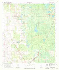
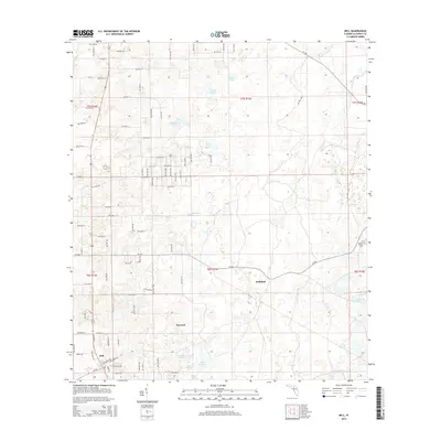
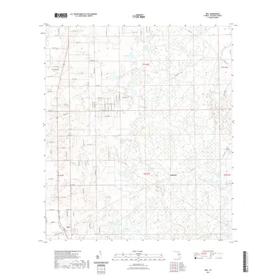
 1968 Bell1971 Print · USGSBell and the surrounding Gilchrist County plains are captured here in the late sixties as a landscape of rail-fed settlements and hidden ponds. Researchers can trace the Seaboard Coast Line through Williford, find rural landmarks like Pierce Chapel, or locate the old Lookout Tower.3 unique versions available
 - 1981 Map of Gainesville, 1982 Print
 1981 Gainesville1982 Print · USGSGainesville and its surrounding North Central Florida counties are captured in the early eighties, showcasing a mix of university growth and rural agriculture. Genealogists and historians can trace small settlements like Arredondo, Wacahoota, and Island Grove alongside major rail lines like the Seaboard Coast Line.2 unique versions available
 - 2012 Map of Fourmile Lake, 2012 Print
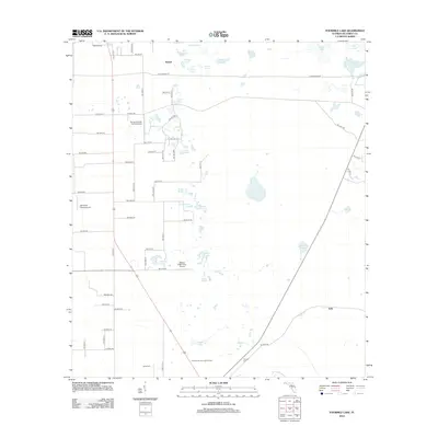 2012 Fourmile Lake2012 Print · USGSCovers Bell, including Trenton, Mutual, and other nearby areas
 - 2012 Map of Bell, 2012 Print
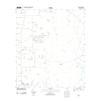 2012 Bell2012 Print · USGSCovers Bell, including Harvard, Gilchrist County, and other nearby areas
 - 2015 Map of Bell, 2015 Print
 2015 Bell2015 Print · USGSCovers Bell, including Harvard, Gilchrist County, and other nearby areas
 - 2015 Map of Fourmile Lake, 2015 Print
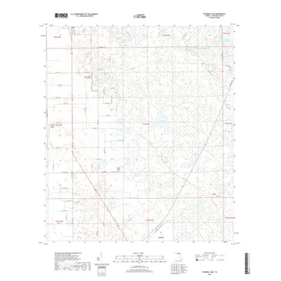
 2015 Fourmile Lake2015 Print · USGSCovers Bell, including Trenton, Mutual, and other nearby areas
 - 2018 Map of Fourmile Lake, 2018 Print
 2018 Fourmile Lake2018 Print · USGSCovers Bell, including Trenton, Mutual, and other nearby areas
 - 2018 Map of Bell, 2018 Print
 2018 Bell2018 Print · USGSCovers Bell, including Harvard, Gilchrist County, and other nearby areas
 - 2021 Map of Bell, 2021 Print
 2021 Bell2021 Print · USGSCovers Bell, including Harvard, Gilchrist County, and other nearby areas
 - 2021 Map of Fourmile Lake, 2021 Print
 2021 Fourmile Lake2021 Print · USGSCovers Bell, including Trenton, Mutual, and other nearby areas
 - 2024 Map of Bell, 2024 Print
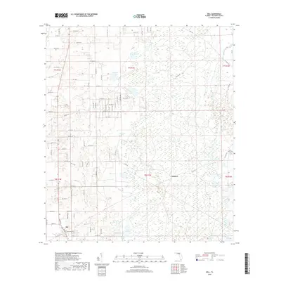
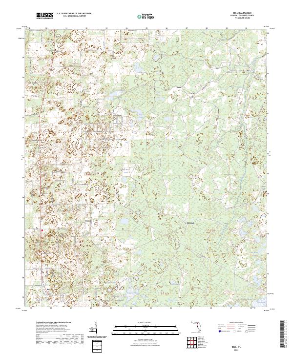 2024 Bell2024 Print · USGSFlorida's Gilchrist County interior is documented here in the early 2020s, showing a transition from the town of Bell to the wetlands of the east. Researchers can trace the rural landscape through family-named landmarks like Smiths Prairie and the Mount Horeb Cem.
 - 2024 Map of Fourmile Lake, 2024 Print
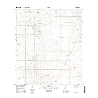
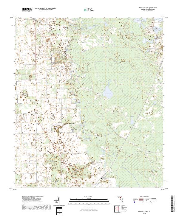 2024 Fourmile Lake2024 Print · USGSGilchrist County is shown in the modern era as a landscape of rural settlements and extensive wetland flats. Researchers can trace family roots at Trenton Community Cem and explore the geography of Waccasassa Flats and Fourmile Lake.
End of results
Showing maps 1-16 of 16
Top cities near Bell
- High Springs historical maps
- Newberry historical maps
- Chiefland historical maps
- Trenton historical maps
- Fanning Springs historical maps
- Branford historical maps
See more
Frequently asked questions
- What are the different types of historical maps available for Bell?
- What is the oldest map of Bell?
- Where can I purchase historical maps of Bell for my home or office?
- Where can I download high-res historical maps of Bell?
- Are there historical topographic maps available for Bell?
- Is there historical aerial imagery available for Bell?
- Where are historical maps of Bell sourced from?