2020s Maps of Bell, Florida
Explore 4 historic maps of Bell from the 2020s. These maps offer a rare glimpse into what life looked like during the 2020s — showing old roads, neighborhoods, homes, and landmarks that have changed or disappeared over time.
Whether you're researching your family's past, planning a metal detecting trip, or studying how Bell's landscape evolved across the 2020s, these high-resolution maps are a powerful tool for exploring the history of this region.
- Focus on a specific era: All maps on this page are from the 2020s, giving you a focused view of this time period.
- See what’s changed: Compare century-old streets, trails, and buildings to today's modern landscape using overlays and satellite layers.
- Research with precision: Use these maps for genealogy, historical research, land use analysis, or educational projects.
- View, download, or print: Maps are fully viewable online in high resolution, and can be downloaded or printed for your own records.
Start exploring Bell's history through authentic maps from the 2020s. This is your window into the past.
Bell, FL maps
(4)- 2021 Map of Bell, 2021 Print
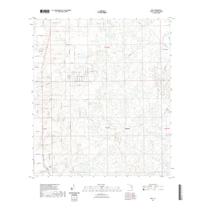 2021 Bell2021 Print · USGSCovers Bell, including Harvard, Gilchrist County, and other nearby areas
 - 2021 Map of Fourmile Lake, 2021 Print
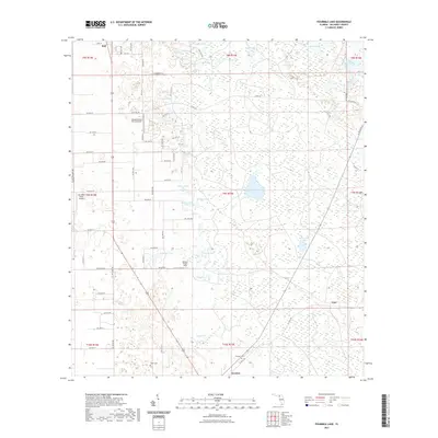 2021 Fourmile Lake2021 Print · USGSCovers Bell, including Trenton, Mutual, and other nearby areas
 - 2024 Map of Bell, 2024 Print
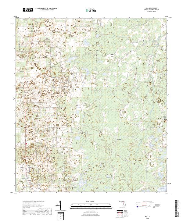 2024 Bell2024 Print · USGSFlorida's Gilchrist County interior is documented here in the early 2020s, showing a transition from the town of Bell to the wetlands of the east. Researchers can trace the rural landscape through family-named landmarks like Smiths Prairie and the Mount Horeb Cem.
 - 2024 Map of Fourmile Lake, 2024 Print
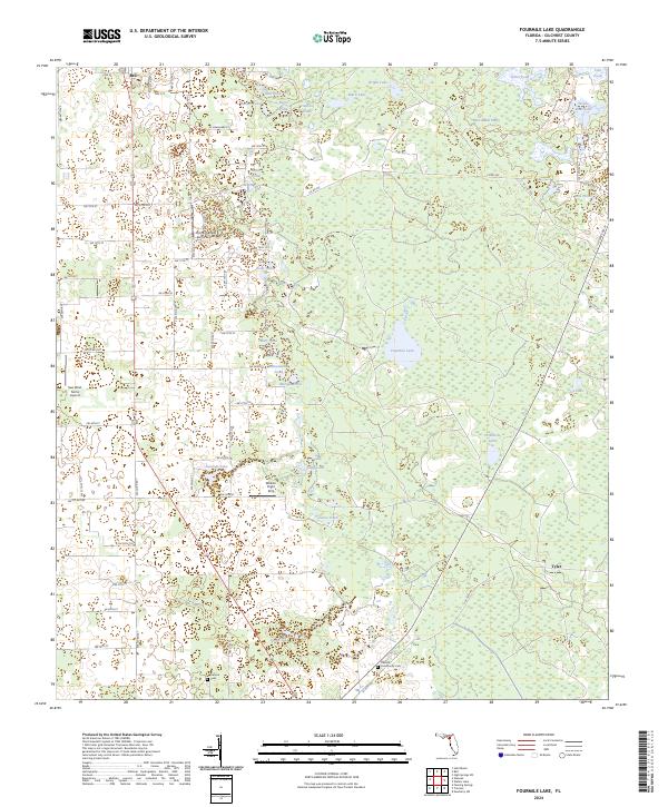 2024 Fourmile Lake2024 Print · USGSGilchrist County is shown in the modern era as a landscape of rural settlements and extensive wetland flats. Researchers can trace family roots at Trenton Community Cem and explore the geography of Waccasassa Flats and Fourmile Lake.
End of results
Showing maps 1-4 of 4
Top cities near Bell
- High Springs historical maps
- Newberry historical maps
- Chiefland historical maps
- Trenton historical maps
- Fanning Springs historical maps
- Branford historical maps
See more
Frequently asked questions
- What are the different types of historical maps available for Bell?
- What is the oldest map of Bell?
- Where can I purchase historical maps of Bell for my home or office?
- Where can I download high-res historical maps of Bell?
- Are there historical topographic maps available for Bell?
- Is there historical aerial imagery available for Bell?
- Where are historical maps of Bell sourced from?