Old Maps of Cypress Creek, Florida for Hiking & Exploration
Hike through history with 11 historic maps of Cypress Creek. Explore old trails, ghost towns, and forgotten backroads — perfect for outdoor adventurers and local explorers.
- Rediscover forgotten places: Map out old mining camps, roads, and footpaths that no longer exist on modern maps.
- Layer with modern tools: Combine with LiDAR or satellite views to plan hikes through historical terrain.
- Made for exploration: Popular among hikers, overlanders, and local history lovers.
Use these maps to find adventure and explore the hidden past of Cypress Creek.
Cypress Creek, FL maps
(11)- 1954 Map of Valdosta, 1967 Print
 1954 Valdosta1967 Print · USGSThe South Georgia and North Florida borderlands are captured here in the mid-fifties, showing the deep timber and wetland networks of the coastal plain. Researchers can trace the path of the Atlantic Coast Line through Valdosta or explore the interior of the Okefenokee Swamp.2 unique versions available
 - 1955 Map of Cypress Creek, 1956 Print
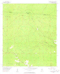 1955 Cypress Creek1956 Print · USGSThe Florida-Georgia borderlands are captured here in the mid-1950s, showing a remote landscape of expansive wetlands and hammocks. Researchers can trace the original state line through Christmas Bay and locate local landmarks like Martin Hammock and Bee Haven Bay.6 unique versions available
 - 1958 Map of Valdosta
 1958 Valdosta1958 Print · USGSSouth Georgia and North Florida are captured here in the mid-fifties, showing the vast Okefenokee Swamp and the vital timber and rail corridors connecting the two states. Researchers can locate the footprint of Moody Air Force Base, trace the Live Oak Perry and Gulf railroad, or find early community sites like Bakers Mill and Paradise Church.
 - 1959 Map of Valdosta
 1959 Valdosta1959 Print · USGSThe Georgia-Florida borderlands in the mid-fifties reveal a landscape of massive blackwater swamps and emerging military aviation hubs. Genealogists and historians can trace rail-stop towns like Fargo and Stockton or explore the interior reaches of the Okefenokee Swamp and Billys Island.
 - 1980 Map of Okefenokee Swamp, 1981 Print
 1980 Okefenokee Swamp1981 Print · USGSThe Georgia-Florida borderlands come to life in the early 1980s, centered on the immense wilderness of the Okefenokee Swamp. Genealogists and historians can trace rail-stop settlements like Fargo and Fruitland or explore the interior geography of Billys Island and Trail Ridge.
 - 2011 Map of Cypress Creek, 2011 Print
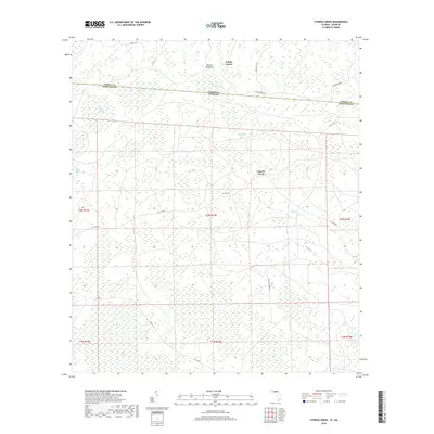
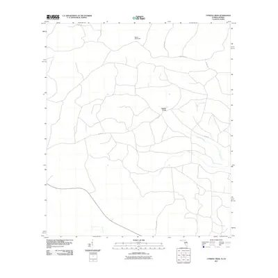 2011 Cypress Creek2011 Print · USGSCovers Cypress Creek, including Hamilton County, Echols County, and other nearby areas
 - 2012 Map of Cypress Creek, 2012 Print
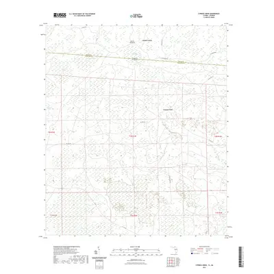
 2012 Cypress Creek2012 Print · USGSCovers Cypress Creek, including Hamilton County, Echols County, and other nearby areas
 - 2015 Map of Cypress Creek, 2015 Print
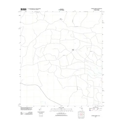
 2015 Cypress Creek2015 Print · USGSCovers Cypress Creek, including Hamilton County, Echols County, and other nearby areas
 - 2018 Map of Cypress Creek, 2018 Print
 2018 Cypress Creek2018 Print · USGSCovers Cypress Creek, including Hamilton County, Echols County, and other nearby areas
 - 2021 Map of Cypress Creek, 2021 Print
 2021 Cypress Creek2021 Print · USGSCovers Cypress Creek, including Hamilton County, Echols County, and other nearby areas
 - 2024 Map of Cypress Creek, 2024 Print
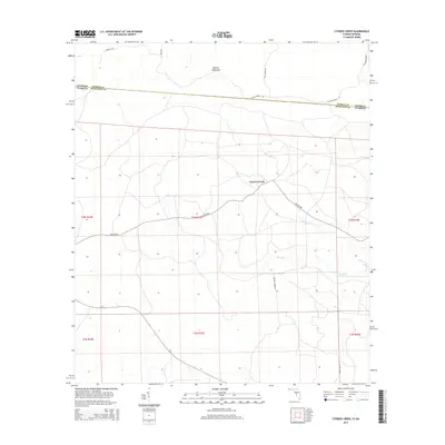
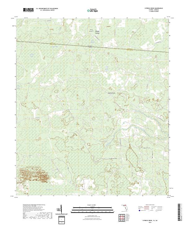 2024 Cypress Creek2024 Print · USGSNorthern Florida and the Georgia borderlands are captured here in a detailed survey of the region's vast wetland networks. Researchers can trace the water systems of Rice Field Swamp, Cypress Creek, and family-named landmarks like Martin Hammock.
End of results
Showing maps 1-11 of 11
Top cities near Cypress Creek
Frequently asked questions
- What are the different types of historical maps available for Cypress Creek?
- What is the oldest map of Cypress Creek?
- Where can I purchase historical maps of Cypress Creek for my home or office?
- Where can I download high-res historical maps of Cypress Creek?
- Are there historical topographic maps available for Cypress Creek?
- Is there historical aerial imagery available for Cypress Creek?
- Where are historical maps of Cypress Creek sourced from?