Old Maps of Clewiston, Florida for Academic Research
Study the evolution of Clewiston with 18 high-resolution historic maps. Whether you're teaching, researching, or modeling changes in land use, these maps provide essential visual documentation of urban, environmental, and geographic change.
- Analyze long-term change: Track patterns in development, transportation, and natural features.
- Ideal for environmental or urban studies: Support academic projects with primary historical map data.
- Use in the classroom or lab: Educators and researchers rely on these maps to bring historical context to life.
These maps are a powerful tool for teaching, research, and visualizing how Clewiston has changed over the decades.
Clewiston, FL maps
(18)- 1956 Map of West Palm Beach, 1964 Print
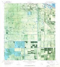
 1956 West Palm Beach1964 Print · USGSSouth Florida during the mid-fifties exhibits a fascinating balance between expanding coastal cities and the vast interior wetlands. Researchers can trace the development of inland settlements like Immokalee and Okeelanta or locate vanished landmarks like Chosen and Buckingham Cem.2 unique versions available
 - 1957 Map of West Palm Beach
 1957 West Palm Beach1957 Print · USGSSouthern Florida in the mid-fifties reveals a landscape defined by massive drainage canals and the early expansion of the Gold Coast. Genealogists and historians can trace industrial outposts like the Sugar plant and Everglades Labor Center, or locate the Jupiter Auxiliary Air Force Base.
 - 1958 Map of West Palm Beach
 1958 West Palm Beach1958 Print · USGSSouth Florida in the late fifties was a land of transition between massive agricultural works and rapid coastal growth. Genealogists and historians can trace old canal networks, early rail lines like the Florida East Coast, and landmarks like the Moore Haven Lock or Jupiter Auxiliary Air Force Base.2 unique versions available
 - 1970 Map of Clewiston South, 1976 Print
 1970 Clewiston South1976 Print · USGSAs the Everglades' sugar industry matured in the early 1970s, this survey captured the engineered landscape south of Clewiston. Trace the rail-and-canal network through Sugar Junction and identify family-named sites like Hooker Point and Keela.2 unique versions available
 - 1971 Map of Clewiston North, 1976 Print
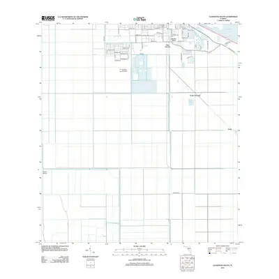
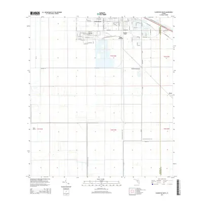
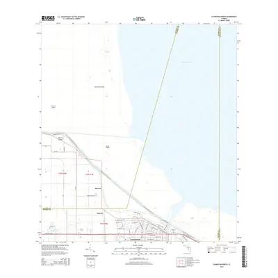
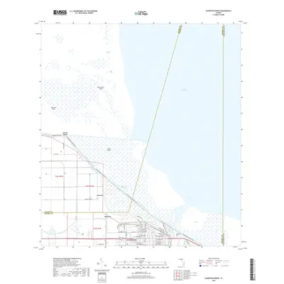
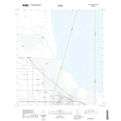
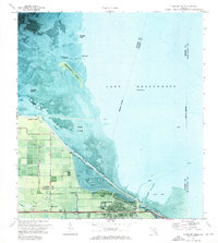 1971 Clewiston North1976 Print · USGSThe southern shores of Lake Okeechobee are shown here in the early seventies as the town of Clewiston expanded along the dike. Local researchers can trace the developed grid of Clewiston, the location of the Ridgelawn Cem, and early marsh access via an Airboat Trail.3 unique versions available
 - 1981 Map of West Palm Beach, 1982 Print
 1981 West Palm Beach1982 Print · USGSPalm Beach County and the eastern shores of Lake Okeechobee are shown here just after the start of the 1980s. Genealogists and local historians can trace the development of inland towns like Belle Glade and Harlem alongside coastal communities like Lantana and Riviera Beach.
 - 1985 Map of West Palm Beach, 1986 Print
 1985 West Palm Beach1986 Print · USGSPalm Beach County and the eastern shores of Lake Okeechobee are shown in the mid-eighties as agriculture and coastal growth matured. Genealogists and researchers can trace the rail corridors of the Seaboard Coast Line through farming hubs like Belle Glade, Okeelanta, and Pahokee.
 - 1987 Map of West Palm Beach, 1988 Print
 1987 West Palm Beach1988 Print · USGSSouth Florida is captured in the mid-1980s, showcasing the intricate balance between rapid coastal growth and the vast interior wetlands. Researchers can trace the drainage canals of The Everglades or locate the boundaries of the Big Cypress Seminole Indian Reservation and Loxahatchee National Wildlife Refuge.2 unique versions available
 - 2012 Map of Clewiston South, 2012 Print
 2012 Clewiston South2012 Print · USGSCovers Clewiston, including Harlem, Hooker Point, and other nearby areas
 - 2012 Map of Clewiston North, 2012 Print
 2012 Clewiston North2012 Print · USGSCovers Clewiston, including Sugarton, Liberty Point, and other nearby areas
 - 2015 Map of Clewiston South, 2015 Print
 2015 Clewiston South2015 Print · USGSCovers Clewiston, including Harlem, Hooker Point, and other nearby areas
 - 2015 Map of Clewiston North, 2015 Print
 2015 Clewiston North2015 Print · USGSCovers Clewiston, including Sugarton, Liberty Point, and other nearby areas
 - 2018 Map of Clewiston North, 2018 Print
 2018 Clewiston North2018 Print · USGSCovers Clewiston, including Sugarton, Liberty Point, and other nearby areas
 - 2018 Map of Clewiston South, 2018 Print
 2018 Clewiston South2018 Print · USGSCovers Clewiston, including Harlem, Hooker Point, and other nearby areas
 - 2021 Map of Clewiston North, 2021 Print
 2021 Clewiston North2021 Print · USGSCovers Clewiston, including Sugarton, Liberty Point, and other nearby areas
 - 2021 Map of Clewiston South, 2021 Print
 2021 Clewiston South2021 Print · USGSCovers Clewiston, including Harlem, Hooker Point, and other nearby areas
 - 2024 Map of Clewiston South, 2024 Print
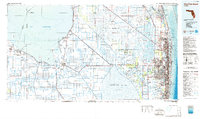
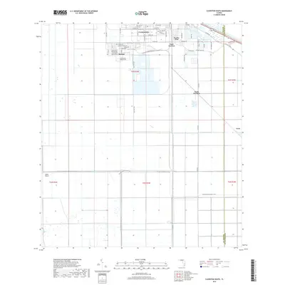
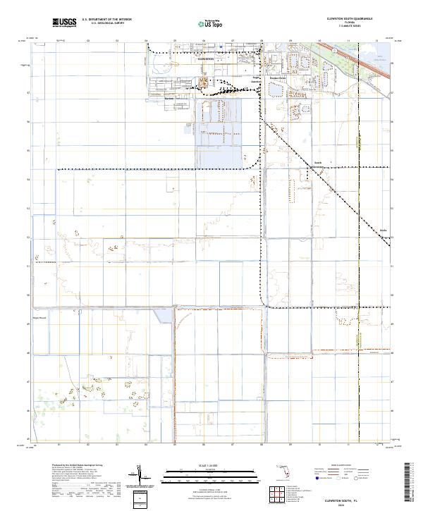 2024 Clewiston South2024 Print · USGSThe Florida sugar belt and the southern shores of Lake Okeechobee are shown in high detail in this modern survey. Genealogists and local historians can trace the streets of Clewiston and Harlem, or locate industrial landmarks like Sugar Junction and Keela.
 - 2024 Map of Clewiston North, 2024 Print
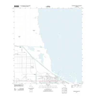
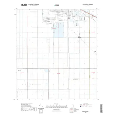
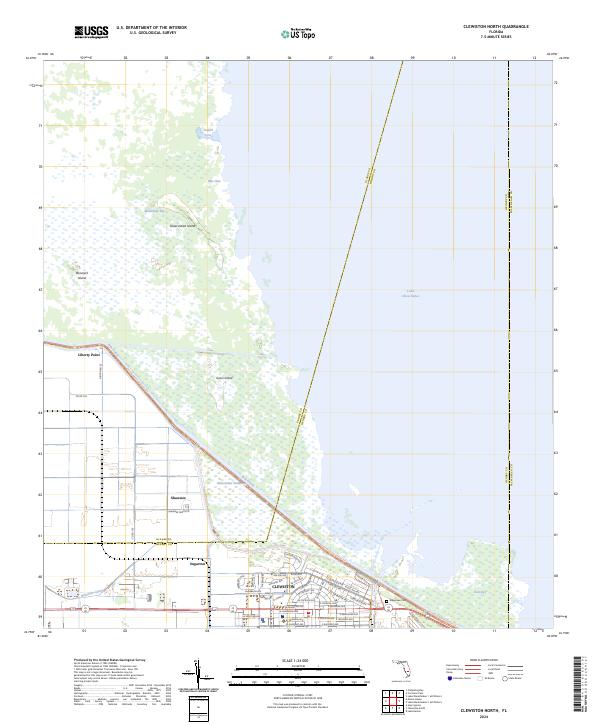 2024 Clewiston North2024 Print · USGSThe southern shores of Lake Okeechobee are captured here in the early 2020s, showing the complex intersection of major water infrastructure and agriculture. Genealogists and researchers can trace the streets of Clewiston or locate rural sites like Ridgelawn Cem and Liberty Point.
End of results
Showing maps 1-18 of 18
Top cities near Clewiston
- South Bay historical maps
- Montura historical maps
- Harlem historical maps
- Moore Haven historical maps
- Lake Harbor historical maps
Frequently asked questions
- What are the different types of historical maps available for Clewiston?
- What is the oldest map of Clewiston?
- Where can I purchase historical maps of Clewiston for my home or office?
- Where can I download high-res historical maps of Clewiston?
- Are there historical topographic maps available for Clewiston?
- Is there historical aerial imagery available for Clewiston?
- Where are historical maps of Clewiston sourced from?