2020s Maps of Port La Belle, Florida
Explore 9 historic maps of Port La Belle from the 2020s. These maps offer a rare glimpse into what life looked like during the 2020s — showing old roads, neighborhoods, homes, and landmarks that have changed or disappeared over time.
Whether you're researching your family's past, planning a metal detecting trip, or studying how Port La Belle's landscape evolved across the 2020s, these high-resolution maps are a powerful tool for exploring the history of this region.
- Focus on a specific era: All maps on this page are from the 2020s, giving you a focused view of this time period.
- See what’s changed: Compare century-old streets, trails, and buildings to today's modern landscape using overlays and satellite layers.
- Research with precision: Use these maps for genealogy, historical research, land use analysis, or educational projects.
- View, download, or print: Maps are fully viewable online in high resolution, and can be downloaded or printed for your own records.
Start exploring Port La Belle's history through authentic maps from the 2020s. This is your window into the past.
Port La Belle, FL maps
(9)- 2021 Map of Sears, 2021 Print
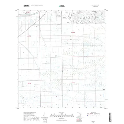 2021 Sears2021 Print · USGSCovers Port La Belle, including LaBelle, Sears, and other nearby areas
 - 2021 Map of La Belle, 2021 Print
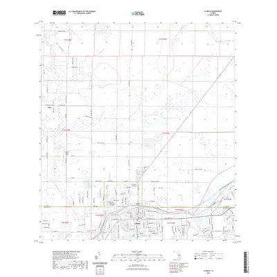 2021 La Belle2021 Print · USGSCovers Port La Belle, including LaBelle, Muce, and other nearby areas
 - 2021 Map of Goodno, 2021 Print
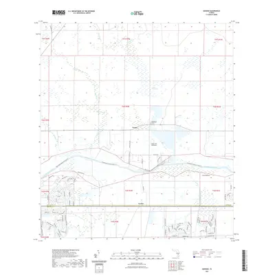 2021 Goodno2021 Print · USGSCovers Port La Belle, including Ortona, Goodno, and other nearby areas
 - 2021 Map of Felda NE, 2021 Print
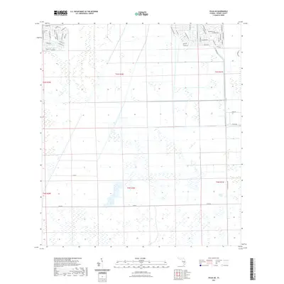 2021 Felda NE2021 Print · USGSCovers Port La Belle, including Hendry County, United States, and other nearby areas
 - 2023 Map of Sears, 2023 Print
 2023 Sears2023 Print · USGSCovers Port La Belle, including LaBelle, Sears, and other nearby areas
 - 2024 Map of La Belle, 2024 Print
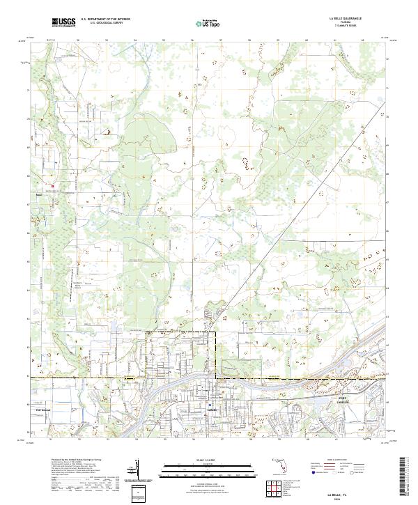 2024 La Belle2024 Print · USGSThe Caloosahatchee River corridor comes to life in this contemporary study of Hendry and Glades Counties. Researchers can trace the layout of LaBelle and Port LaBelle, find the Hendry County Courthouse, and locate rural landmarks like Muse.
 - 2024 Map of Sears, 2024 Print
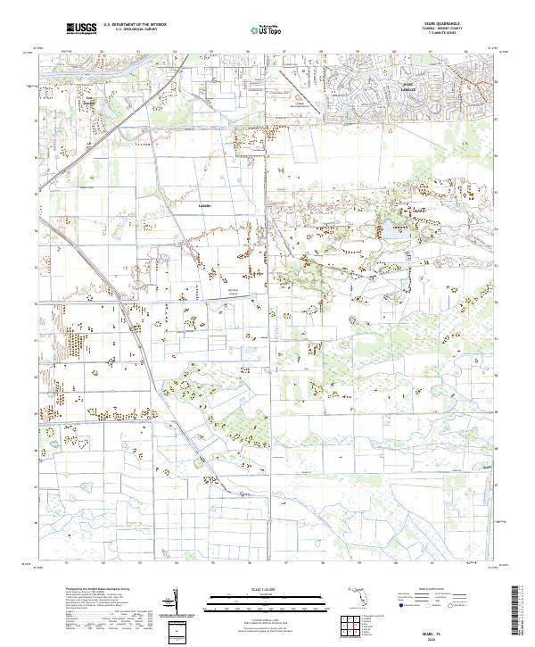 2024 Sears2024 Print · USGSHendry County, Florida, is depicted in the early 2020s, showing the intersection of river life and industrial agriculture. Genealogists and local historians can trace the growth of LaBelle and PORT LABELLE or follow the historic Caloosahatchee River.
 - 2024 Map of Felda NE, 2024 Print
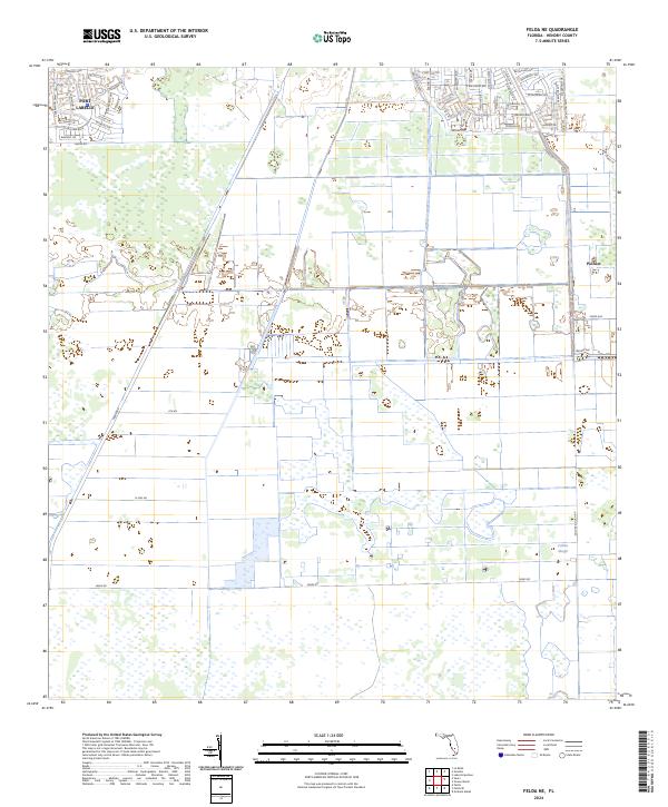 2024 Felda NE2024 Print · USGSHendry County in the early 2020s shows a landscape defined by planned residential expansion and industrial-scale agriculture. Genealogists and local researchers can trace the modern development of Port Labelle and the outlying settlement at Pioneer near Collins Slough.
 - 2024 Map of Goodno, 2024 Print
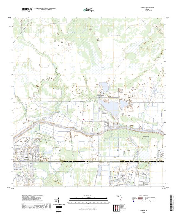 2024 Goodno2024 Print · USGSGlades and Hendry counties meet along the Caloosahatchee in this modern study of South Florida's interior. Researchers can trace the development of Port LaBelle and locate local landmarks like Ortona Cem and Coffee Mill Hammock.
End of results
Showing maps 1-9 of 9
Top cities near Port La Belle
Top neighborhoods of Port La Belle
Frequently asked questions
- What are the different types of historical maps available for Port La Belle?
- What is the oldest map of Port La Belle?
- Where can I purchase historical maps of Port La Belle for my home or office?
- Where can I download high-res historical maps of Port La Belle?
- Are there historical topographic maps available for Port La Belle?
- Is there historical aerial imagery available for Port La Belle?
- Where are historical maps of Port La Belle sourced from?