Old Maps of Port La Belle, Florida for Academic Research
Study the evolution of Port La Belle with 31 high-resolution historic maps. Whether you're teaching, researching, or modeling changes in land use, these maps provide essential visual documentation of urban, environmental, and geographic change.
- Analyze long-term change: Track patterns in development, transportation, and natural features.
- Ideal for environmental or urban studies: Support academic projects with primary historical map data.
- Use in the classroom or lab: Educators and researchers rely on these maps to bring historical context to life.
These maps are a powerful tool for teaching, research, and visualizing how Port La Belle has changed over the decades.
Port La Belle, FL maps
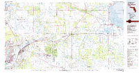
(31)- 1956 Map of West Palm Beach, 1964 Print
 1956 West Palm Beach1964 Print · USGSSouth Florida during the mid-fifties exhibits a fascinating balance between expanding coastal cities and the vast interior wetlands. Researchers can trace the development of inland settlements like Immokalee and Okeelanta or locate vanished landmarks like Chosen and Buckingham Cem.2 unique versions available
 - 1957 Map of West Palm Beach
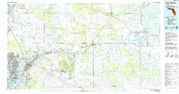
 1957 West Palm Beach1957 Print · USGSSouthern Florida in the mid-fifties reveals a landscape defined by massive drainage canals and the early expansion of the Gold Coast. Genealogists and historians can trace industrial outposts like the Sugar plant and Everglades Labor Center, or locate the Jupiter Auxiliary Air Force Base.
 - 1958 Map of West Palm Beach
 1958 West Palm Beach1958 Print · USGSSouth Florida in the late fifties was a land of transition between massive agricultural works and rapid coastal growth. Genealogists and historians can trace old canal networks, early rail lines like the Florida East Coast, and landmarks like the Moore Haven Lock or Jupiter Auxiliary Air Force Base.2 unique versions available
 - 1958 Map of Goodno, 1959 Print
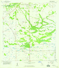
 1958 Goodno1959 Print · USGSThe Caloosahatchee River valley in the late fifties shows a landscape of cattle marshes and orange groves transitioning into managed water systems. Genealogists and historians can trace the community around Ortona, from the Ortona Cem and Indian Mound to the Old Railroad Grade.2 unique versions available
 - 1958 Map of Felda NE, 1959 Print
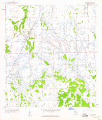 1958 Felda NE1959 Print · USGSHendry County’s interior landscape during the late fifties reveals a mosaic of cypress sloughs and industrial transit corridors. Researchers can trace the path of the Atlantic Coast Line or find the remote Hunting Camp near the Old Railroad Grade.3 unique versions available
 - 1958 Map of Sears, 1959 Print
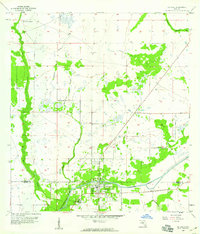
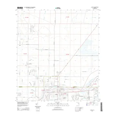
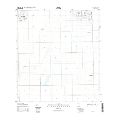
 1958 Sears1959 Print · USGSHendry County at the end of the fifties reveals a landscape shaped by water management and expanding rail lines. Genealogists and historians can trace the tracks of the Atlantic Coast Line near Sears or locate the early footprint of the La Belle Airport.3 unique versions available
 - 1958 Map of La Belle, 1959 Print
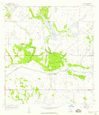
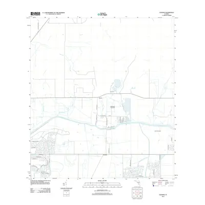
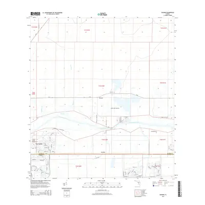
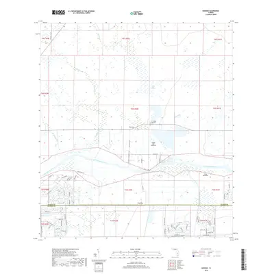
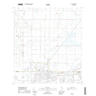
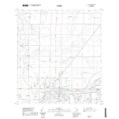
 1958 La Belle1959 Print · USGSThe Hendry and Glades county line comes alive in the late fifties, centered on the riverfront community of La Belle. Researchers can trace the early street grid of La Belle and the winding course of Pollywog Creek and the Caloosahatchee River.3 unique versions available
 - 1981 Map of Fort Myers
 1981 Fort Myers1981 Print · USGSSouthwest Florida experienced a transformative era of growth during the early eighties as coastal cities pushed inland toward the Everglades. Trace the expansion of Lehigh Acres and Cape Coral or locate rural landmarks like Palmdale and the Brighton Indian Reservation.
 - 1985 Map of Fort Myers, 1986 Print
 1985 Fort Myers1986 Print · USGSSouthwest Florida during the mid-eighties shows a region of transition, where the riverfront growth of Fort Myers meets the inland marshes of the Everglades. Genealogists and historians can trace suburban expansion in Lehigh Acres or locate the old canal-side hubs of La Belle and Moore Haven.
 - 1987 Map of West Palm Beach, 1988 Print
 1987 West Palm Beach1988 Print · USGSSouth Florida is captured in the mid-1980s, showcasing the intricate balance between rapid coastal growth and the vast interior wetlands. Researchers can trace the drainage canals of The Everglades or locate the boundaries of the Big Cypress Seminole Indian Reservation and Loxahatchee National Wildlife Refuge.2 unique versions available
 - 2012 Map of Sears, 2012 Print
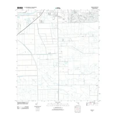 2012 Sears2012 Print · USGSCovers Port La Belle, including LaBelle, Sears, and other nearby areas
 - 2012 Map of La Belle, 2012 Print
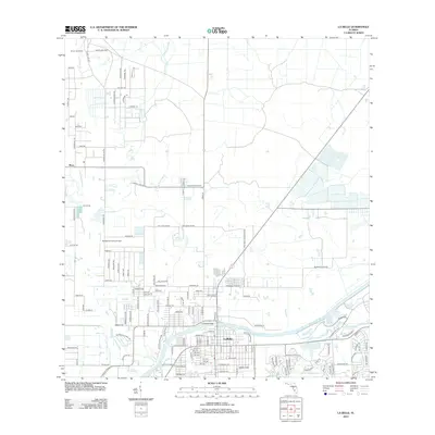 2012 La Belle2012 Print · USGSCovers Port La Belle, including LaBelle, Muce, and other nearby areas
 - 2012 Map of Goodno, 2012 Print
 2012 Goodno2012 Print · USGSCovers Port La Belle, including Ortona, Goodno, and other nearby areas
 - 2012 Map of Felda NE, 2012 Print
 2012 Felda NE2012 Print · USGSCovers Port La Belle, including Hendry County, United States, and other nearby areas
 - 2015 Map of La Belle, 2015 Print
 2015 La Belle2015 Print · USGSCovers Port La Belle, including LaBelle, Muce, and other nearby areas
 - 2015 Map of Sears, 2015 Print
 2015 Sears2015 Print · USGSCovers Port La Belle, including LaBelle, Sears, and other nearby areas
 - 2015 Map of Goodno, 2015 Print
 2015 Goodno2015 Print · USGSCovers Port La Belle, including Ortona, Goodno, and other nearby areas
 - 2015 Map of Felda NE, 2015 Print
 2015 Felda NE2015 Print · USGSCovers Port La Belle, including Hendry County, United States, and other nearby areas
 - 2018 Map of Sears, 2018 Print
 2018 Sears2018 Print · USGSCovers Port La Belle, including LaBelle, Sears, and other nearby areas
 - 2018 Map of Goodno, 2018 Print
 2018 Goodno2018 Print · USGSCovers Port La Belle, including Ortona, Goodno, and other nearby areas
 - 2018 Map of La Belle, 2018 Print
 2018 La Belle2018 Print · USGSCovers Port La Belle, including LaBelle, Muce, and other nearby areas
 - 2018 Map of Felda NE, 2018 Print
 2018 Felda NE2018 Print · USGSCovers Port La Belle, including Hendry County, United States, and other nearby areas
 - 2021 Map of Sears, 2021 Print
 2021 Sears2021 Print · USGSCovers Port La Belle, including LaBelle, Sears, and other nearby areas
 - 2021 Map of La Belle, 2021 Print
 2021 La Belle2021 Print · USGSCovers Port La Belle, including LaBelle, Muce, and other nearby areas
 - 2021 Map of Goodno, 2021 Print
 2021 Goodno2021 Print · USGSCovers Port La Belle, including Ortona, Goodno, and other nearby areas
Showing maps 1-25 of 31
Top cities near Port La Belle
Top neighborhoods of Port La Belle
Frequently asked questions
- What are the different types of historical maps available for Port La Belle?
- What is the oldest map of Port La Belle?
- Where can I purchase historical maps of Port La Belle for my home or office?
- Where can I download high-res historical maps of Port La Belle?
- Are there historical topographic maps available for Port La Belle?
- Is there historical aerial imagery available for Port La Belle?
- Where are historical maps of Port La Belle sourced from?