
1958 Map of Sears
USGS Topo · Published 1959About this map
The Caloosahatchee River defines the northern edge of this Hendry County landscape in the late 1950s, a period marked by the systematic drainage and development of south Florida. Evidence of the region's transitioning infrastructure is visible in the alignment of the Atlantic Coast Line railroad near the small settlement of Sears, contrasted against a long Old Railroad Grade that cuts diagonally across the central wetlands. The prevalence of multiple Flowing Wells and a Roberts Canal illustrates the extensive water management efforts required to support local agriculture and industry. Near the City Boundary, the La Belle Airport and scattered Marl Pits indicate a growing regional hub emerging from the surrounding marshes and cypress strands.
Find a feature on this map
10 named features on this map. Tap any name to fly to it.
Don’t see what you’re looking for? This feature index may not catch every label — zoom into the map to look around manually.
Map Details
Editions of this 1958 Sears Map
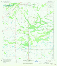
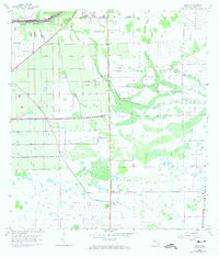
3 editions found
Other maps of this area

1956 · West Palm Beach
USGS Topo · 1:250,000

1957 · West Palm Beach
USGS Topo · 1:250,000

1957 · Telegraph Swamp SE
USGS Topo · 1:24,000

1958 · West Palm Beach
USGS Topo · 1:250,000

1958 · Felda SE
USGS Topo · 1:24,000

1958 · Goodno
USGS Topo · 1:24,000

1958 · Felda
USGS Topo · 1:24,000

1958 · Felda NE
USGS Topo · 1:24,000

1958 · Alva
USGS Topo · 1:24,000
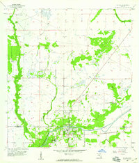
1958 · La Belle
USGS Topo · 1:24,000