
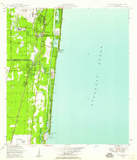
1957 Map of West Palm Beach
USGS Topo · Published 1957About this map
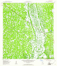
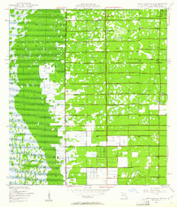
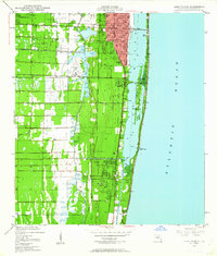
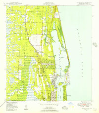
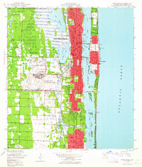
The Everglades and Big Cypress Swamp dominate this mid-century landscape, illustrating the massive scale of 20th-century water management in Southern Florida. A complex network of canals, including the Miami Canal, North New River Canal, and West Palm Beach Canal, radiate from Lake Okeechobee, cutting through the wetlands to support agricultural industry. The presence of the Sugar plant near Clewiston and the Pahokee State Prison Farm highlight the economic and social infrastructure built into the reclaimed land.
Find a feature on this map
113 named features on this map. Tap any name to fly to it.
Don’t see what you’re looking for? This feature index may not catch every label — zoom into the map to look around manually.
Map Details
Editions of this 1957 West Palm Beach Map
This is the sole edition of this map. No revisions or reprints were ever made.
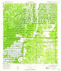
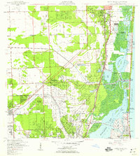
Other maps of this area

1945 · Fort Lauderdale North
USGS Topo · 1:24,000
1945 · Delta
USGS Topo · 1:24,000
1945 · Greenacres City
USGS Topo · 1:24,000
1945 · Lake Worth
USGS Topo · 1:24,000
1946 · Riviera Beach
USGS Topo · 1:24,000

1946 · West Dixie Bend
USGS Topo · 1:24,000
1946 · Boca Raton
USGS Topo · 1:24,000
1946 · Palm Beach Farms
USGS Topo · 1:24,000
1946 · Palm Beach
USGS Topo · 1:24,000
1947 · North Miami
USGS Topo · 1:24,000