
1946 Map of Palm Beach Farms
USGS Topo · Published 1958About this map
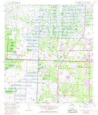
The Loxahatchee Slough dominates this mid-century landscape, illustrating the complex drainage patterns and early suburban transition of south Florida. At the time of this 1946 survey, the West Palm Beach Canal serves as the primary hydraulic artery, flanked by a prominent Levee that separates wilder wetlands from developing agricultural and residential tracts. The grid of Palm Beach Farms begins to define the local geography, anchoring small clusters like Fergan and the growing West Palm Beach Farms settlement. Infrastructure from the post-war era is visible in the Radio Beacon, a Military Reservation, and a substantial Borrow Pit Area, signaling the active engineering required to carve permanent settlements from the marshy interior. To the southeast, the early footprint of Greenacres City stands at the edge of more intensive development, providing a clear record of the region's pre-boom layout.
Find a feature on this map
11 named features on this map. Tap any name to fly to it.
Don’t see what you’re looking for? This feature index may not catch every label — zoom into the map to look around manually.
Map Details
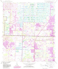
Editions of this 1946 Palm Beach Farms Map
3 editions found
Other maps of this area

1945 · Delta
USGS Topo · 1:24,000

1945 · Greenacres City
USGS Topo · 1:24,000

1945 · Lake Worth
USGS Topo · 1:24,000

1946 · Riviera Beach
USGS Topo · 1:24,000

1946 · Palm Beach
USGS Topo · 1:24,000

1949 · Lake Worth
USGS Topo · 1:24,000

1949 · Palm Beach Farms
USGS Topo · 1:24,000

1949 · Riviera Beach
USGS Topo · 1:24,000

1950 · Greenacres City
USGS Topo · 1:24,000

1950 · Delta
USGS Topo · 1:24,000