
1945 Map of Greenacres City
USGS Topo · Published 1961About this map
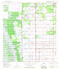
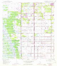
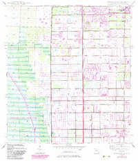
Greenacres City stands at the northeastern edge of this mid-century landscape, appearing as a developing grid during a period of significant drainage and infrastructure expansion in Palm Beach County. The interior is defined by a rigorous network of water control, with numerous instances of a Levee partitioning the land into large rectangular tracts. This system of management reflects the mid-1940s effort to reclaim and organize the Florida interior for agricultural or residential use. The Sunshine State Parkway cuts a straight north-south path through the center, serving as a primary transportation artery alongside the prominent Range Line. Evidence of local industry and construction is visible through several Borrow Pits and a singular Borrow Pit, which provided material for the growing road network and levee system. A notable site labeled Convict suggests the presence of labor camps or related facilities during this era of intensive public works.
Find a feature on this map
7 named features on this map. Tap any name to fly to it.
Don’t see what you’re looking for? This feature index may not catch every label — zoom into the map to look around manually.
Map Details
Editions of this 1945 Greenacres City Map
4 editions found
Other maps of this area

1945 · Lake Worth
USGS Topo · 1:24,000

1946 · Palm Beach Farms
USGS Topo · 1:24,000

1946 · Palm Beach
USGS Topo · 1:24,000

1947 · Delmar Farms
USGS Topo · 1:24,000

1949 · Lake Worth
USGS Topo · 1:24,000

1949 · Palm Beach Farms
USGS Topo · 1:24,000

1949 · Delmar Farms
USGS Topo · 1:24,000

1950 · Delray Beach
USGS Topo · 1:24,000

1950 · Greenacres City
USGS Topo · 1:24,000
1950 · Palm Beach
USGS Topo · 1:24,000