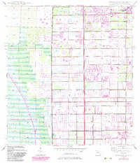
1945 Map of Greenacres City
USGS Topo · Published 1983About this map
The Loxahatchee National Wildlife Refuge dominates the western portion of this landscape, illustrating the transition from protected wetlands to the emerging suburban developments of Palm Beach County. Originally surveyed in 1945 with significant 1980 updates, the map documents the expansion of Greenacres City and the introduction of residential enclaves such as Poinciana Place, The Fountains, and Florida Gardens. The infrastructure of the era is clearly defined by Floridas Turnpike, which bisects the region as a primary transit corridor. Local industry and land alteration are evidenced by the presence of Borrow Pits, while the historic Range Line serves as a reminder of the fundamental surveying grid that organized this part of Florida. The map captures a critical period of growth where agricultural or open land gave way to planned golf course communities and trailer parks.
Find a feature on this map
10 named features on this map. Tap any name to fly to it.
Don’t see what you’re looking for? This feature index may not catch every label — zoom into the map to look around manually.
Map Details
Editions of this 1945 Greenacres City Map
4 editions found
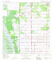
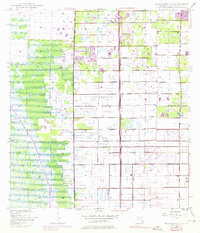
Other maps of this area

1945 · Greenacres City
USGS Topo · 1:24,000

1945 · Lake Worth
USGS Topo · 1:24,000

1946 · Palm Beach Farms
USGS Topo · 1:24,000

1946 · Palm Beach
USGS Topo · 1:24,000

1947 · Delmar Farms
USGS Topo · 1:24,000

1949 · Lake Worth
USGS Topo · 1:24,000

1949 · Palm Beach Farms
USGS Topo · 1:24,000

1949 · Delmar Farms
USGS Topo · 1:24,000

1950 · Delray Beach
USGS Topo · 1:24,000

1950 · Greenacres City
USGS Topo · 1:24,000