
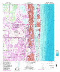
1946 Map of Palm Beach
USGS Topo · Published 1964About this map
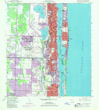
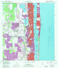
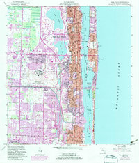
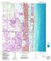
Morrison Field Air Base dominates the central landscape of this post-war Florida survey, reflecting the significant military presence that shaped the region's mid-century development. The burgeoning urban centers of West Palm Beach and Palm Beach are shown in high detail, separated by the vital waters of Lake Worth and connected by the Flagler Memorial Bridge, Royal Palm Bridge, and Southern Blvd Bridge. This era captures a transition from agricultural drainage to residential expansion, as seen in the network of canals like the West Palm Beach Canal and Lake Clarke.
Find a feature on this map
34 named features on this map. Tap any name to fly to it.
Don’t see what you’re looking for? This feature index may not catch every label — zoom into the map to look around manually.
Map Details
Editions of this 1946 Palm Beach Map
6 editions found
Other maps of this area

1945 · Delta
USGS Topo · 1:24,000

1945 · Greenacres City
USGS Topo · 1:24,000

1945 · Lake Worth
USGS Topo · 1:24,000

1946 · Riviera Beach
USGS Topo · 1:24,000

1946 · Palm Beach Farms
USGS Topo · 1:24,000

1949 · Lake Worth
USGS Topo · 1:24,000

1949 · Palm Beach Farms
USGS Topo · 1:24,000

1949 · Riviera Beach
USGS Topo · 1:24,000

1950 · Greenacres City
USGS Topo · 1:24,000

1950 · Delta
USGS Topo · 1:24,000