Loading...
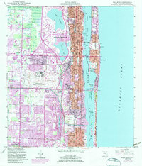
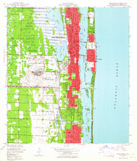
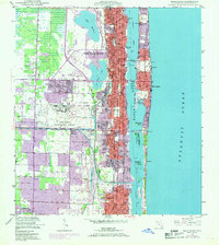
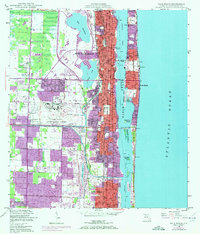
Loading map...1946 Map of Palm Beach
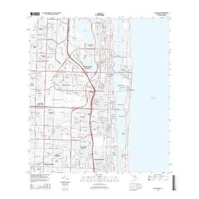
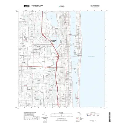
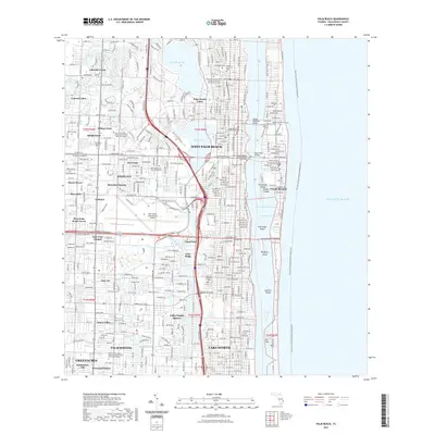
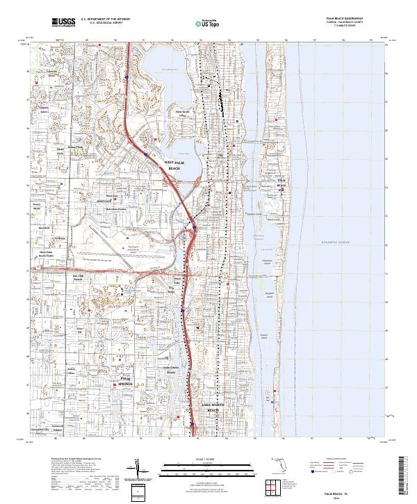
USGS Topo · Published 1983About this map
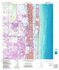
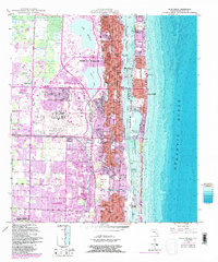
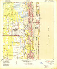
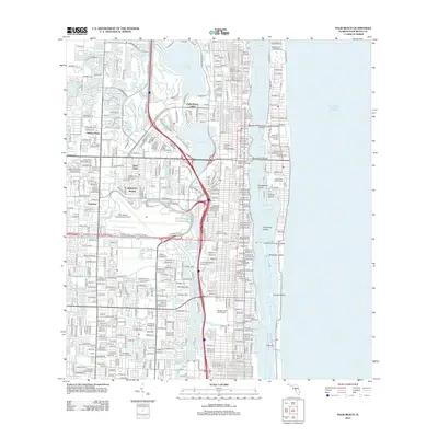
West Palm Beach and its coastal neighbor Palm Beach are depicted during a period of significant urban expansion, with purple tints highlighting the 1980s growth over the original 1946 topography. The map illustrates a dense landscape defined by major transit corridors like Okeechobee Road and the Florida East Coast Railway, while the coastline is anchored by prominent estates such as the Mar-A-Lago National Historic Site.
Find a feature on this map
42 named features on this map. Tap any name to fly to it.
Don’t see what you’re looking for? This feature index may not catch every label — zoom into the map to look around manually.
Map Details
Date Portrayed1946
Date Published1983
PublisherU.S. Geological Survey
Map TypeTopographic
Scale1:24,000
Physical Dimensions23 x 26.9 inches
Editions of this 1946 Palm Beach Map
6 editions found
Historical Maps of West Palm Beach Through Time
7 maps found
Featured Locations
Source Details
SourceU.S. Geological Survey
CopyrightPublic Domain