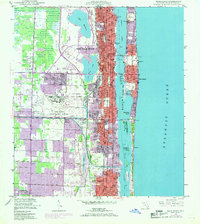
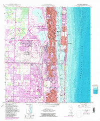
1946 Map of Palm Beach
USGS Topo · Published 1968About this map
West Palm Beach and the barrier island of Palm Beach dominate this mid-century coastal landscape, separated by the wide waters of Lake Worth. The era's expansion is evident in the burgeoning suburban developments of West Gate, Haverhill, and Greenacres City, while purple tinting on the sheet highlights urban extensions into the late 1960s. Transport infrastructure defines the region, from the sprawling Palm Beach International Airport to the Florida East Coast and Seaboard Air Line railroads that fueled the area's growth.
Find a feature on this map
43 named features on this map. Tap any name to fly to it.
Don’t see what you’re looking for? This feature index may not catch every label — zoom into the map to look around manually.
Map Details
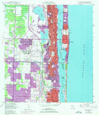
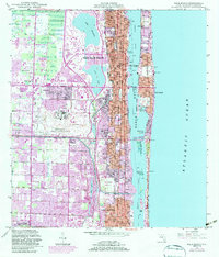
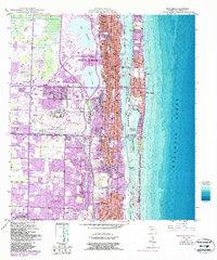
Editions of this 1946 Palm Beach Map
6 editions found
Other maps of this area

1945 · Delta
USGS Topo · 1:24,000

1945 · Greenacres City
USGS Topo · 1:24,000

1945 · Lake Worth
USGS Topo · 1:24,000

1946 · Riviera Beach
USGS Topo · 1:24,000

1946 · Palm Beach Farms
USGS Topo · 1:24,000

1946 · Palm Beach
USGS Topo · 1:24,000

1949 · Lake Worth
USGS Topo · 1:24,000

1949 · Palm Beach Farms
USGS Topo · 1:24,000

1949 · Riviera Beach
USGS Topo · 1:24,000

1950 · Greenacres City
USGS Topo · 1:24,000