
1946 Map of Riviera Beach
USGS Topo · Published 1956About this map
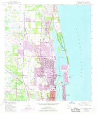
Lake Worth dominates this coastal landscape, separating the mainland settlements of Lake Park and Riviera Beach from the barrier strand of Singers Island. In the years following World War II, this region was a critical nexus of rail and maritime transport, evidenced by the dual tracks of the Florida East Coast and Seaboard Air Line railroads running parallel to the Atlantic. The Intracoastal Waterway cuts through the lagoon, with the Lake Worth Inlet providing deep-water access for the U S Coast Guard Reservation on Peanut I. To the north, the exclusive Seminole Golf Club and the settlement of Monet reflect the varied development of Palm Beach County, while the northern extent of West Palm Beach shows early urban expansion around St Marys Hospital. The map detail captures the numerous islands such as Munyon I and Little Munyon I before extensive modern shoreline modification.
Find a feature on this map
29 named features on this map. Tap any name to fly to it.
Don’t see what you’re looking for? This feature index may not catch every label — zoom into the map to look around manually.
Map Details
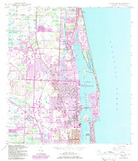
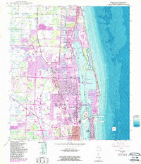
Editions of this 1946 Riviera Beach Map
4 editions found
Other maps of this area

1945 · Delta
USGS Topo · 1:24,000

1946 · Palm Beach Farms
USGS Topo · 1:24,000

1946 · Palm Beach
USGS Topo · 1:24,000

1948 · Rood
USGS Topo · 1:24,000

1948 · Jupiter
USGS Topo · 1:24,000

1949 · Rood
USGS Topo · 1:24,000

1949 · Palm Beach Farms
USGS Topo · 1:24,000

1949 · Riviera Beach
USGS Topo · 1:24,000

1950 · Jupiter
USGS Topo · 1:24,000

1950 · Delta
USGS Topo · 1:24,000