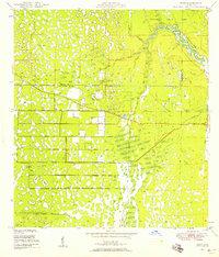
1948 Map of Rood
USGS Topo · Published 1958About this map
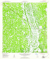
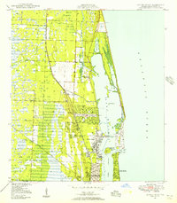
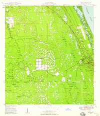
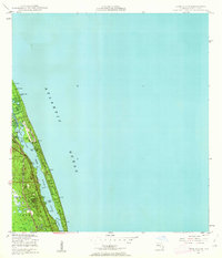
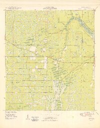
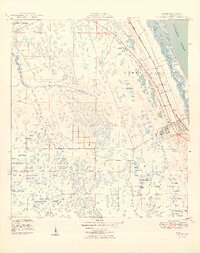
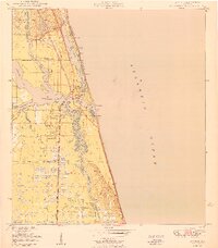
Loxahatchee River drainage patterns dominate this late-1940s landscape on the border of Martin and Palm Beach counties. The area exhibits a delicate transition between the wetlands of the Loxahatchee Slough and the emerging infrastructure of the Rood settlement. In the northeastern corner, Jupiter State Park preserves a winding section of the river, while cultural landmarks like the Indian Mound and Trappers Zoo hint at the area's early tourism and archaeological significance. The map captures the early rural character of the region before modern suburban expansion, centered around the Jupiter School and local congregations such as Mt Carmel Church and the Church of God. A system of levees and the presence of Highway 710 show the early engineering efforts to manage the Florida water table and connect these remote settlements.
Find a feature on this map
15 named features on this map. Tap any name to fly to it.
Don’t see what you’re looking for? This feature index may not catch every label — zoom into the map to look around manually.
Map Details
Editions of this 1948 Rood Map
5 editions found
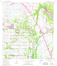
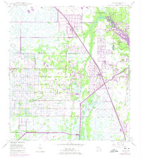
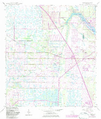

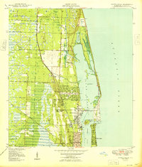
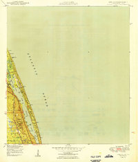
Other maps of this area
1945 · Delta
USGS Topo · 1:24,000
1946 · Riviera Beach
USGS Topo · 1:24,000
1948 · Gomez
USGS Topo · 1:24,000
1948 · Hobe Sound
USGS Topo · 1:24,000

1948 · Jupiter
USGS Topo · 1:24,000
1949 · Rood
USGS Topo · 1:24,000
1949 · Gomez
USGS Topo · 1:24,000
1949 · Riviera Beach
USGS Topo · 1:24,000
1949 · Hobe Sound
USGS Topo · 1:24,000
1950 · Jupiter
USGS Topo · 1:24,000