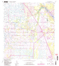
1948 Map of Rood
USGS Topo · Published 1983About this map
Loxahatchee River waters dominate the eastern landscape of this coastal Florida corridor, where the natural environment of Jonathan Dickinson State Park meets the expanding settlements of Jupiter and Tequesta. Originally mapped in 1948 and updated through 1983, the survey documents the transition from a drainage-focused landscape of levees and the Loxahatchee Slough to a more developed residential and recreational region.
Find a feature on this map
22 named features on this map. Tap any name to fly to it.
Don’t see what you’re looking for? This feature index may not catch every label — zoom into the map to look around manually.
Map Details
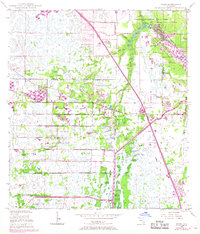
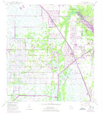
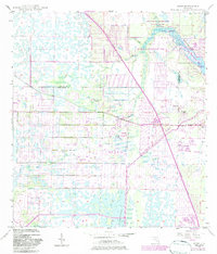
Editions of this 1948 Rood Map
5 editions found
Other maps of this area

1945 · Delta
USGS Topo · 1:24,000

1946 · Riviera Beach
USGS Topo · 1:24,000

1948 · Rood
USGS Topo · 1:24,000

1948 · Gomez
USGS Topo · 1:24,000

1948 · Hobe Sound
USGS Topo · 1:24,000

1948 · Jupiter
USGS Topo · 1:24,000

1949 · Rood
USGS Topo · 1:24,000

1949 · Gomez
USGS Topo · 1:24,000

1949 · Riviera Beach
USGS Topo · 1:24,000

1949 · Hobe Sound
USGS Topo · 1:24,000