
1948 Map of Hobe Sound
USGS Topo · Published 1962About this map
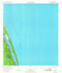
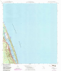
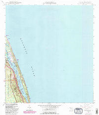
Jonathan Dickinson State Park and the narrow barrier of the Jupiter Island Grant dominate this coastal survey. The landscape reflects a mix of maritime infrastructure and private development, featuring the US Coast Guard Station and the Jupiter Island Club. Inland, the topography is defined by small rises such as Borden Hill (C) and Simpson Hill (C), while the aquatic geography is shaped by the Intracoastal Waterway and Jupiter Narrows. This mid-century view shows a coastline before intense modern expansion, where a lone Quarry and a Pipe Line represent the limited industrial footprint near the Atlantic shore. Coastal settlements like Bonair Beach and various small landings suggest a seafaring and seasonal community centered around the sheltered waters of Hobe Sound and Lake Francis.
Find a feature on this map
24 named features on this map. Tap any name to fly to it.
Don’t see what you’re looking for? This feature index may not catch every label — zoom into the map to look around manually.
Map Details
Editions of this 1948 Hobe Sound Map
4 editions found
Other maps of this area

1948 · Rood
USGS Topo · 1:24,000

1948 · St. Lucie Inlet
USGS Topo · 1:24,000

1948 · Gomez
USGS Topo · 1:24,000

1948 · Jupiter
USGS Topo · 1:24,000

1949 · Rood
USGS Topo · 1:24,000

1949 · Gomez
USGS Topo · 1:24,000

1949 · Hobe Sound
USGS Topo · 1:24,000

1950 · St. Lucie Inlet
USGS Topo · 1:24,000

1950 · Jupiter
USGS Topo · 1:24,000

1956 · West Palm Beach
USGS Topo · 1:250,000