
1948 Map of Gomez
USGS Topo · Published 1958About this map
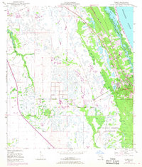
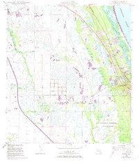
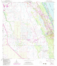
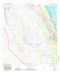
Gomez Grant and Hanson Grant anchor the coastal geography of this mid-century Florida survey, highlighting the complex land tenure of the Treasure Coast. The Florida East Coast railway runs parallel to the Atlantic, serving the burgeoning settlements of Gomez and Hobe Sound. To the east, the Intracoastal Waterway carves through Peck Lake and the South Narrows, separating the mainland from the barrier beach of Jupiter Island.
Find a feature on this map
19 named features on this map. Tap any name to fly to it.
Don’t see what you’re looking for? This feature index may not catch every label — zoom into the map to look around manually.
Map Details
Editions of this 1948 Gomez Map
5 editions found
Other maps of this area

1948 · Palm City
USGS Topo · 1:24,000

1948 · Rood
USGS Topo · 1:24,000

1948 · St. Lucie Inlet
USGS Topo · 1:24,000

1948 · Hobe Sound
USGS Topo · 1:24,000

1948 · Jupiter
USGS Topo · 1:24,000

1949 · Rood
USGS Topo · 1:24,000

1949 · Gomez
USGS Topo · 1:24,000

1949 · Hobe Sound
USGS Topo · 1:24,000

1950 · St. Lucie Inlet
USGS Topo · 1:24,000

1950 · Palm City
USGS Topo · 1:24,000