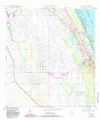
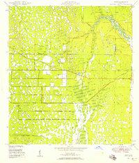
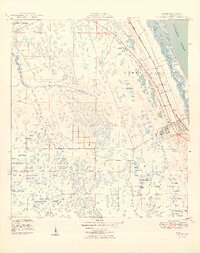
1948 Map of Gomez
USGS Topo · Published 1988About this map
Gomez and Hobe Sound anchor this coastal segment of Martin County, where the transition from inland pine flatwoods to the Atlantic shore is defined by a dense network of transport and conservation. The Florida East Coast railway and an underground telephone line parallel the coast, serving the small settlements of Olympia and the community surrounding the Hobe Sound Ch.
Find a feature on this map
21 named features on this map. Tap any name to fly to it.
Don’t see what you’re looking for? This feature index may not catch every label — zoom into the map to look around manually.
Map Details
Editions of this 1948 Gomez Map
5 editions found
Other maps of this area

1948 · Palm City
USGS Topo · 1:24,000
1948 · Rood
USGS Topo · 1:24,000

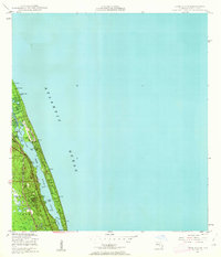
1948 · St. Lucie Inlet
USGS Topo · 1:24,000
1948 · Gomez
USGS Topo · 1:24,000
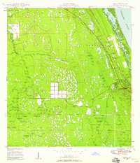
1948 · Hobe Sound
USGS Topo · 1:24,000

1948 · Jupiter
USGS Topo · 1:24,000
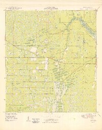
1949 · Rood
USGS Topo · 1:24,000
1949 · Gomez
USGS Topo · 1:24,000
1949 · Hobe Sound
USGS Topo · 1:24,000
1950 · St. Lucie Inlet
USGS Topo · 1:24,000