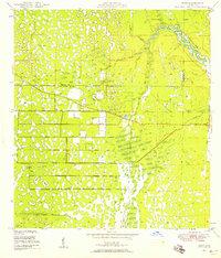
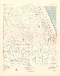
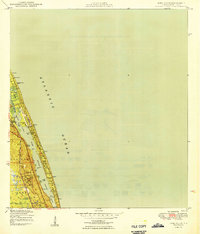
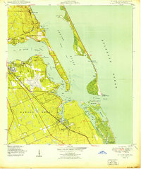
1948 Map of Gomez
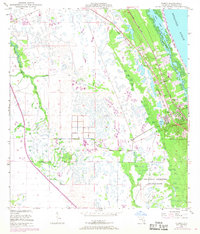
USGS Topo · Published 1968About this map
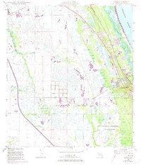
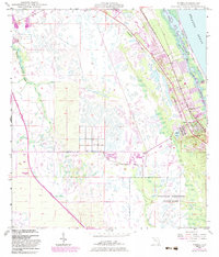
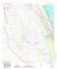
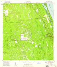
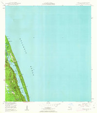
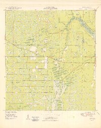
The Florida East Coast railroad corridor serves as the primary spine for settlement in this coastal Martin County landscape, anchoring the communities of Gomez and Hobe Sound. To the east, the barrier beach of Jupiter Island separates the Atlantic Ocean from the Intracoastal Waterway and the South Jupiter Narrows. This mid-century view captures the area before extensive modern development, showing the sprawling wetlands and small lakes that characterize the interior. Significant infrastructure of the era is evident in the Sunshine State Toll Road Parkway cutting through the western portion of the quadrangle and an underground telephone line running parallel to the rail. The southern reaches are defined by the northern boundaries of Jonathan Dickinson State Park, while the South Fork St Lucie River meanders through the northwest, highlighting the complex drainage patterns of the Florida coast.
Find a feature on this map
19 named features on this map. Tap any name to fly to it.
Don’t see what you’re looking for? This feature index may not catch every label — zoom into the map to look around manually.
Map Details
Editions of this 1948 Gomez Map
5 editions found
Other maps of this area

1948 · Palm City
USGS Topo · 1:24,000
1948 · Rood
USGS Topo · 1:24,000

1948 · St. Lucie Inlet
USGS Topo · 1:24,000
1948 · Gomez
USGS Topo · 1:24,000
1948 · Hobe Sound
USGS Topo · 1:24,000

1948 · Jupiter
USGS Topo · 1:24,000
1949 · Rood
USGS Topo · 1:24,000
1949 · Gomez
USGS Topo · 1:24,000
1949 · Hobe Sound
USGS Topo · 1:24,000
1950 · St. Lucie Inlet
USGS Topo · 1:24,000