
1948 Map of Palm City
USGS Topo · Published 1956About this map
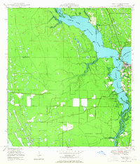
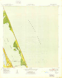
The confluence of the North Fork St Lucie River and the South Fork serves as the focal point for this late-1940s survey of the Florida coast. This era finds Stuart established as a growing hub along the Florida East Coast railroad, while Palm City remains a smaller settlement to the south. The landscape is heavily defined by the drainage network, including the St Lucie Canal and numerous named points like Bessey Pt and Jenkins Pt that line the waterway. Inland, the Hanson Grant covers a large territory characterized by wetlands and smaller bodies of water like Mile Lake. Genealogists may find interest in the documented locations of Union Ch and the Piney (C) Cem, providing a precise look at the community infrastructure before the major residential expansions of the later 20th century.
Find a feature on this map
45 named features on this map. Tap any name to fly to it.
Don’t see what you’re looking for? This feature index may not catch every label — zoom into the map to look around manually.
Map Details
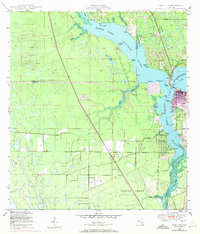
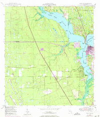
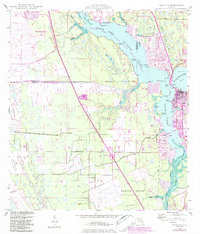
Editions of this 1948 Palm City Map
5 editions found
Other maps of this area

1948 · Ankona
USGS Topo · 1:24,000

1948 · St. Lucie Inlet
USGS Topo · 1:24,000

1948 · Gomez
USGS Topo · 1:24,000

1948 · Eden
USGS Topo · 1:24,000

1949 · Gomez
USGS Topo · 1:24,000

1950 · St. Lucie Inlet
USGS Topo · 1:24,000

1950 · Ankona
USGS Topo · 1:24,000

1950 · Palm City
USGS Topo · 1:24,000
1950 · Eden
USGS Topo · 1:24,000

1953 · Indian Town SE
USGS Topo · 1:24,000