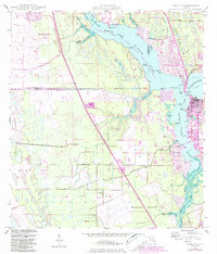
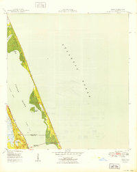
1948 Map of Palm City
USGS Topo · Published 1984About this map
Stuart and Palm City anchor this coastal survey, which documents the mid-century landscape of the North Fork St Lucie River and its confluence with the South Fork St Lucie River. The map captures a period of growth along the riverbanks, particularly within the Port St Lucie corporate boundary and the emerging community of North River Shores. The maritime character of the region is evident in the numerous points and coves, such as Pendarvis Point and Jenkins Pt, alongside the protected waters of the St Lucie Inlet Aquatic Preserve.
Find a feature on this map
46 named features on this map. Tap any name to fly to it.
Don’t see what you’re looking for? This feature index may not catch every label — zoom into the map to look around manually.
Map Details
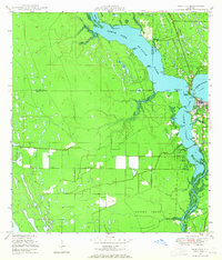
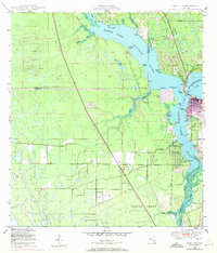
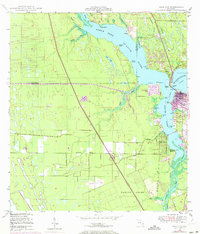
Editions of this 1948 Palm City Map
5 editions found
Other maps of this area

1948 · Palm City
USGS Topo · 1:24,000

1948 · Ankona
USGS Topo · 1:24,000

1948 · St. Lucie Inlet
USGS Topo · 1:24,000

1948 · Gomez
USGS Topo · 1:24,000

1948 · Eden
USGS Topo · 1:24,000

1949 · Gomez
USGS Topo · 1:24,000

1950 · St. Lucie Inlet
USGS Topo · 1:24,000

1950 · Ankona
USGS Topo · 1:24,000

1950 · Palm City
USGS Topo · 1:24,000
1950 · Eden
USGS Topo · 1:24,000