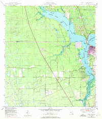
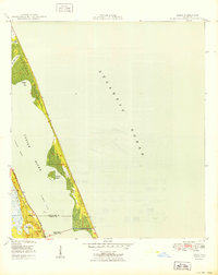
1948 Map of Palm City
USGS Topo · Published 1971About this map
North Fork St Lucie River and its intricate network of creeks form the backbone of this coastal landscape, captured just as mid-century infrastructure began to redefine the region. The map documents the convergence of the South Fork St Lucie River and the Okeechobee Waterway near Stuart, where the Roosevelt Bridge provides a vital link. Development patterns are visible in the burgeoning neighborhoods of North River Shores and the established streets of Palm City, while the presence of the Seaboard Coast Line railroad and Floridas Toll Road Turnpike illustrates the area's role as a transportation corridor.
Find a feature on this map
41 named features on this map. Tap any name to fly to it.
Don’t see what you’re looking for? This feature index may not catch every label — zoom into the map to look around manually.
Map Details
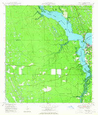
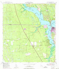
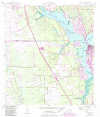
Editions of this 1948 Palm City Map
5 editions found
Other maps of this area

1948 · Palm City
USGS Topo · 1:24,000

1948 · Ankona
USGS Topo · 1:24,000

1948 · St. Lucie Inlet
USGS Topo · 1:24,000

1948 · Gomez
USGS Topo · 1:24,000

1948 · Eden
USGS Topo · 1:24,000

1949 · Gomez
USGS Topo · 1:24,000

1950 · St. Lucie Inlet
USGS Topo · 1:24,000

1950 · Ankona
USGS Topo · 1:24,000

1950 · Palm City
USGS Topo · 1:24,000
1950 · Eden
USGS Topo · 1:24,000