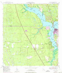
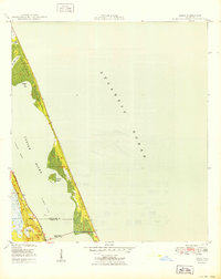
1948 Map of Palm City
USGS Topo · Published 1973About this map
The North Fork St Lucie River and South Fork St Lucie River converge near the growing settlements of Palm City and Stuart, revealing a landscape transitioning from rural acreage to suburban development. The 1970 revisions, shown in purple, highlight the expansion of North River Shores and the construction of Floridas Turnpike Toll Road, including its Tollgate. This era represents a significant shift in Martin County infrastructure, as the older Florida East Coast railway and the Okeechobee Waterway are joined by modern highways.
Find a feature on this map
48 named features on this map. Tap any name to fly to it.
Don’t see what you’re looking for? This feature index may not catch every label — zoom into the map to look around manually.
Map Details
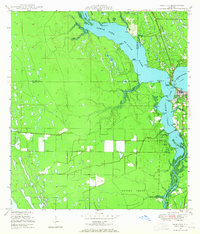
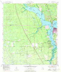
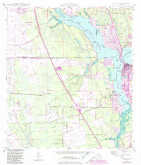
Editions of this 1948 Palm City Map
5 editions found
Other maps of this area

1948 · Palm City
USGS Topo · 1:24,000

1948 · Ankona
USGS Topo · 1:24,000

1948 · St. Lucie Inlet
USGS Topo · 1:24,000

1948 · Gomez
USGS Topo · 1:24,000

1948 · Eden
USGS Topo · 1:24,000

1949 · Gomez
USGS Topo · 1:24,000

1950 · St. Lucie Inlet
USGS Topo · 1:24,000

1950 · Ankona
USGS Topo · 1:24,000

1950 · Palm City
USGS Topo · 1:24,000
1950 · Eden
USGS Topo · 1:24,000