
1948 Map of Eden
USGS Topo · Published 1965About this map
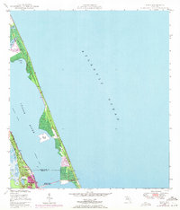
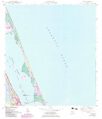
Hutchinson Island dominates this mid-century coastal survey, separating the Atlantic Ocean from the lagoons of the Indian River. This barrier island landscape is punctuated by tidal features like Big Mud Creek and Herman Bay, while the Intracoastal Waterway provides a sheltered passage for vessels. On the mainland, the Florida East Coast railway parallels the shoreline, serving the settlements of Eden and Jensen Beach. The inclusion of the Jensen Beach Bridge and the small Nettles Island illustrates the early infrastructure connecting these coastal communities. Further inland, localized water bodies such as Lake Eden and Henderson Pond mark the low-lying terrain of the St. Lucie and Martin County border, reflecting the natural geography before extensive modern development reshaped the Treasure Coast shoreline.
Find a feature on this map
16 named features on this map. Tap any name to fly to it.
Don’t see what you’re looking for? This feature index may not catch every label — zoom into the map to look around manually.
Map Details
Editions of this 1948 Eden Map
3 editions found
Other maps of this area

1948 · Palm City
USGS Topo · 1:24,000

1948 · Ankona
USGS Topo · 1:24,000

1948 · St. Lucie Inlet
USGS Topo · 1:24,000

1949 · Fort Pierce
USGS Topo · 1:24,000

1950 · St. Lucie Inlet
USGS Topo · 1:24,000

1950 · Ankona
USGS Topo · 1:24,000

1950 · Fort Pierce
USGS Topo · 1:24,000

1950 · Palm City
USGS Topo · 1:24,000
1950 · Eden
USGS Topo · 1:24,000

1956 · Fort Pierce
USGS Topo · 1:250,000