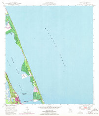
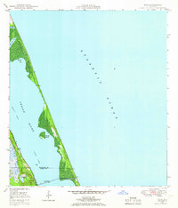
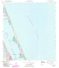
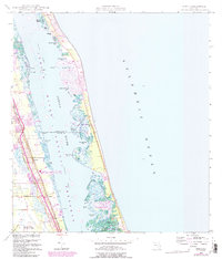
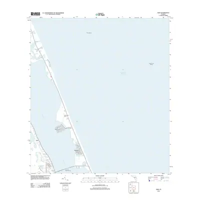
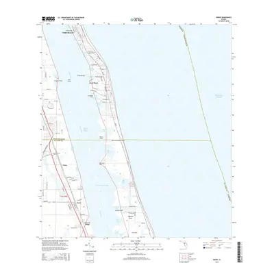
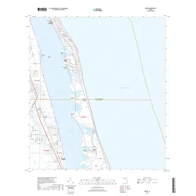
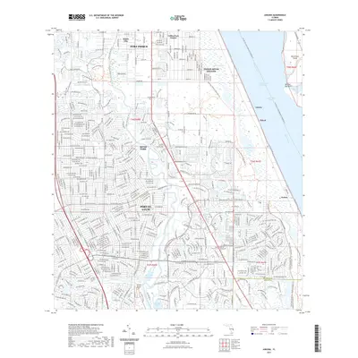
1948 Map of Eden
USGS Topo · Published 1971About this map
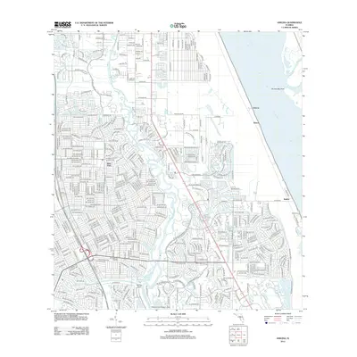
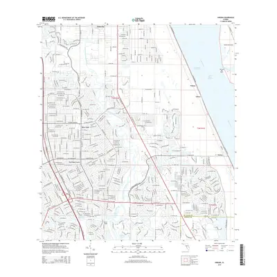
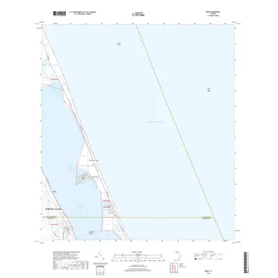
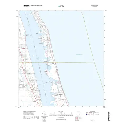
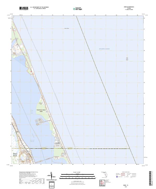
Eden occupies the mainland shore of the Indian River on this mid-century coastal survey, reflecting a period of significant transition along the Florida coast. While the map is grounded in 1948 plane-table topography, purple revisions added in 1970 illustrate the expansion of urban areas and infrastructure. The corridor is defined by the Florida East Coast railroad, which historically shaped the development of settlements in this region. This survey captures the delicate balance between the natural barrier island landscape and the increasing human footprint at the start of the 1970s.
Find a feature on this map
2 named features on this map. Tap any name to fly to it.
Don’t see what you’re looking for? This feature index may not catch every label — zoom into the map to look around manually.
Map Details
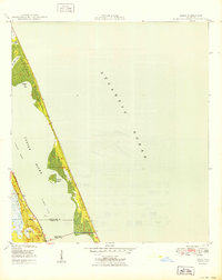
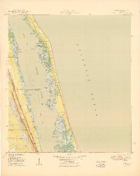
Editions of this 1948 Eden Map
3 editions found
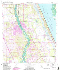
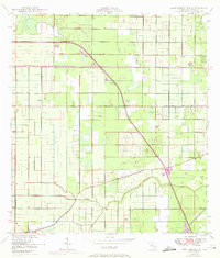
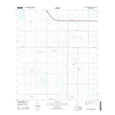
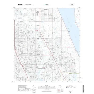
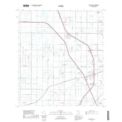
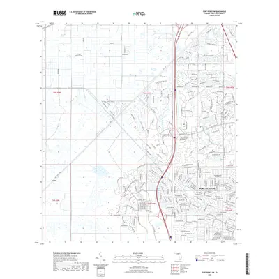
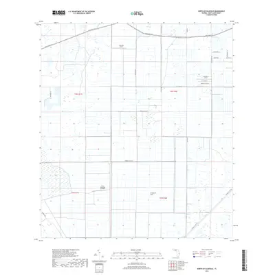
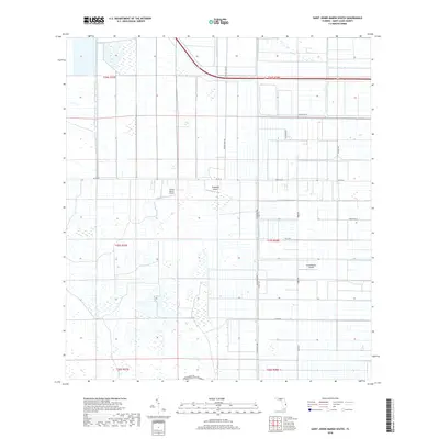
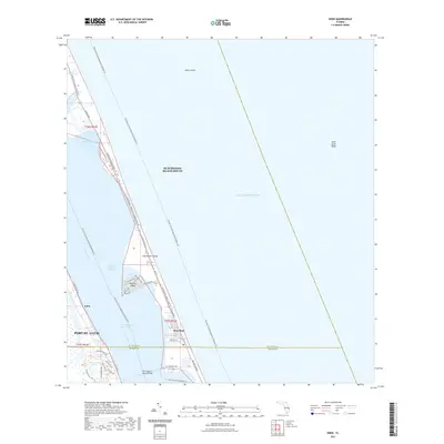
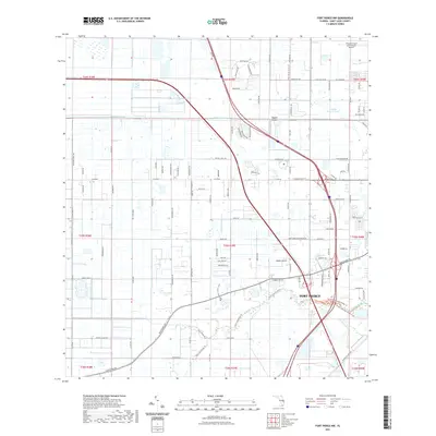
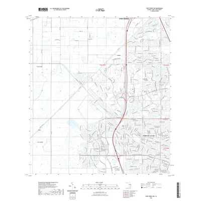
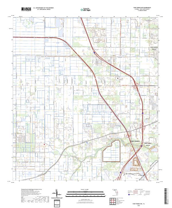
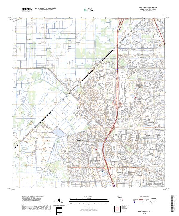
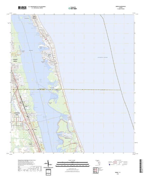
Historical Maps of Port Saint Lucie Through Time
46 maps found
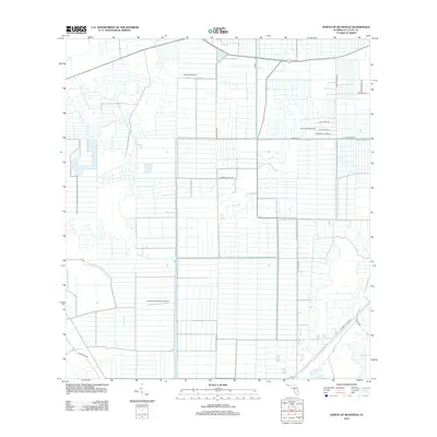
1948 Ankona
St. Lucie County, FL
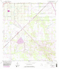
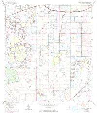
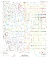
1948 Eden
St. Lucie County, FL
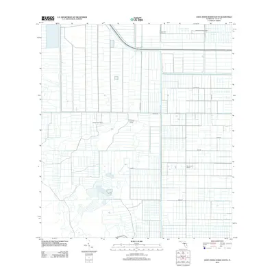
1948 Indrio
St. Lucie County, FL

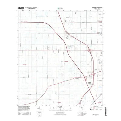
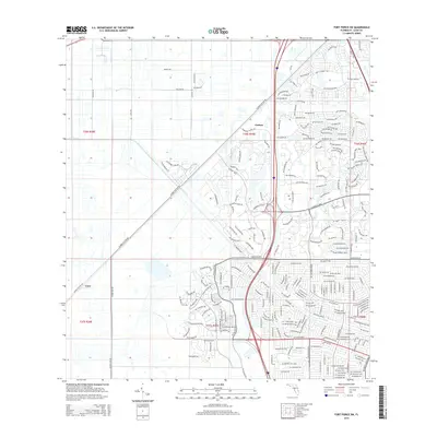
1949 Fort Pierce NW
St. Lucie County, FL

1950 Ankona
St. Lucie County, FL
1950 Eden
St. Lucie County, FL
1950 Fort Pierce NW
St. Lucie County, FL
1950 Indrio
St. Lucie County, FL
1953 Fort Pierce SW
St. Lucie County, FL
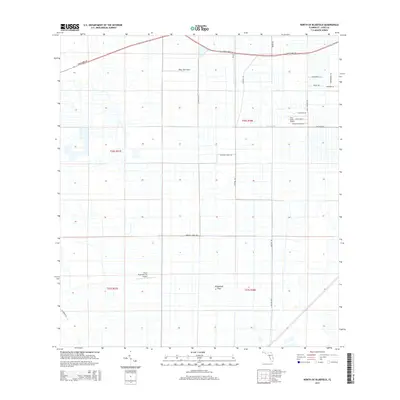
1953 North Of Bluefield
St. Lucie County, FL
1953 St. Johns Marsh South
St. Lucie County, FL
2012 Ankona
St. Lucie County, FL
2012 Eden
St. Lucie County, FL
2012 Fort Pierce NW
St. Lucie County, FL
2012 Fort Pierce SW
St. Lucie County, FL
2012 Indrio
St. Lucie County, FL
2012 North of Bluefield
St. Lucie County, FL
2012 Saint Johns Marsh South
St. Lucie County, FL
2015 Ankona
St. Lucie County, FL
2015 Eden
St. Lucie County, FL
2015 Fort Pierce NW
St. Lucie County, FL
2015 Fort Pierce SW
St. Lucie County, FL
2015 Indrio
St. Lucie County, FL
2015 North of Bluefield
St. Lucie County, FL
2015 Saint Johns Marsh South
St. Lucie County, FL
2018 Ankona
St. Lucie County, FL
2018 Eden
St. Lucie County, FL
2018 Fort Pierce NW
St. Lucie County, FL
2018 Fort Pierce SW
St. Lucie County, FL
2018 Indrio
St. Lucie County, FL
2018 North of Bluefield
St. Lucie County, FL
2018 Saint Johns Marsh South
St. Lucie County, FL
2021 Ankona
St. Lucie County, FL
2021 Eden
St. Lucie County, FL
2021 Fort Pierce NW
St. Lucie County, FL
2021 Fort Pierce SW
St. Lucie County, FL
2021 Indrio
St. Lucie County, FL
2021 North of Bluefield
St. Lucie County, FL
2021 Saint Johns Marsh South
St. Lucie County, FL
2024 Ankona
St. Lucie County, FL
2024 Eden
St. Lucie County, FL
2024 Fort Pierce NW
St. Lucie County, FL
2024 Fort Pierce SW
St. Lucie County, FL
2024 Indrio
St. Lucie County, FL
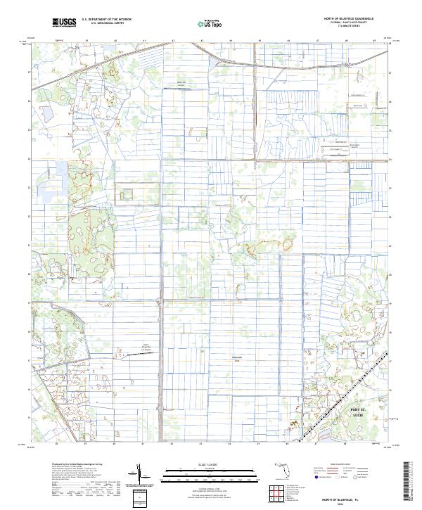
2024 North of Bluefield
St. Lucie County, FL
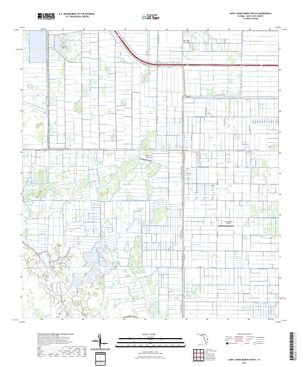
2024 Saint Johns Marsh South
St. Lucie County, FL