
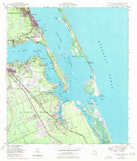
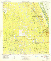
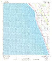
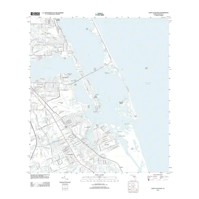
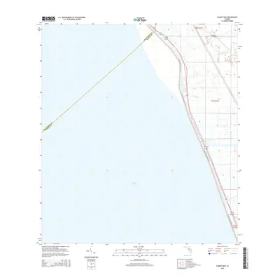
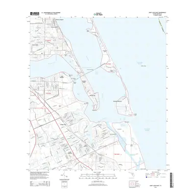
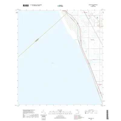
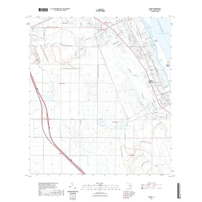
1948 Map of St. Lucie Inlet
USGS Topo · Published 1958About this map
The confluence of the St Lucie River and the Indian River defines this coastal landscape as it appeared in the late 1940s. The bustling hub of Stuart is centered in the west, while the massive airfield at Witham Field dominates the central peninsula. Navigation is a central theme of the era, from the deep-water Intracoastal Waterway to the dangerous waters around the St Lucie Inlet, where features like Hole in the Wall and Hell Gate hint at the challenges for local mariners.
Find a feature on this map
52 named features on this map. Tap any name to fly to it.
Don’t see what you’re looking for? This feature index may not catch every label — zoom into the map to look around manually.
Map Details
Editions of this 1948 St. Lucie Inlet Map
4 editions found
Historical Maps of Jensen Beach Through Time
49 maps found
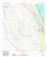
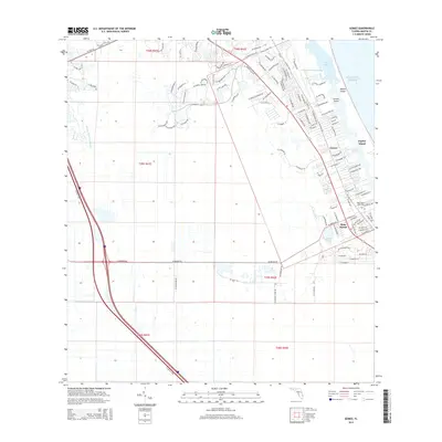
1948 Gomez
Martin County, FL
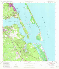
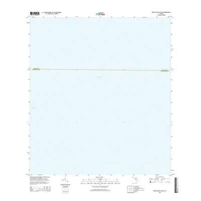
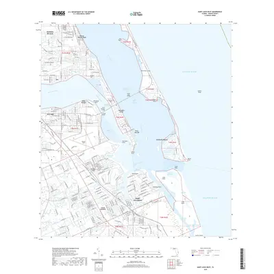
1948 St. Lucie Inlet
Martin County, FL
1949 Gomez
Martin County, FL
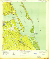
1950 St. Lucie Inlet
Martin County, FL
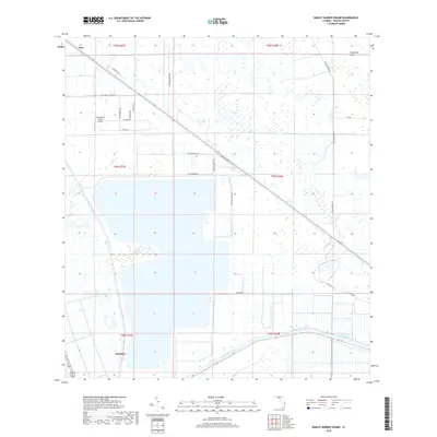
1953 Barley Barber Swamp
Martin County, FL
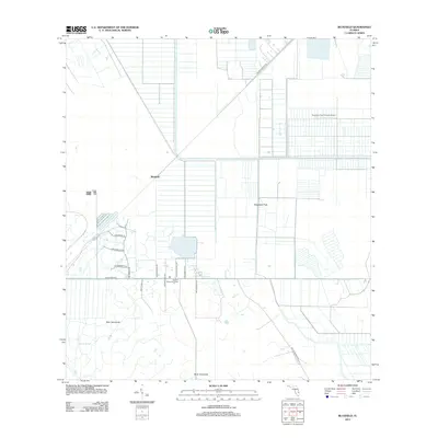
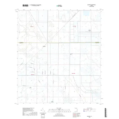
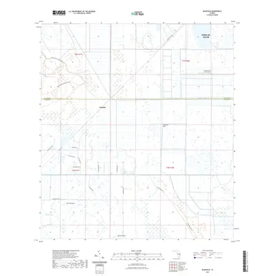
1953 Bluefield
Martin County, FL
1953 Chaney Bay
Martin County, FL
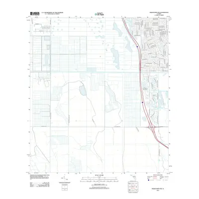
1953 Indiantown NW
Martin County, FL
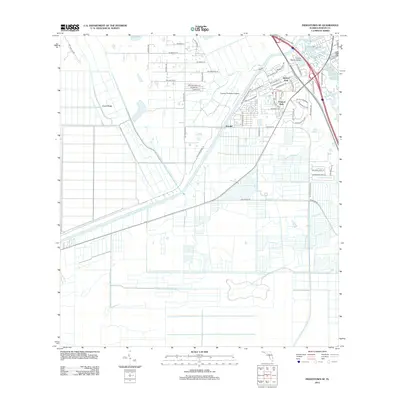
1953 Indiantown SE
Martin County, FL
2012 Barley Barber Swamp
Martin County, FL
2012 Bluefield
Martin County, FL

2012 Chancy Bay
Martin County, FL
2012 Gomez
Martin County, FL
2012 Indiantown NW
Martin County, FL
2012 Indiantown SE
Martin County, FL
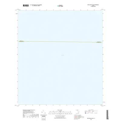
2012 Port Mayaca OE W
Martin County, FL
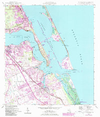
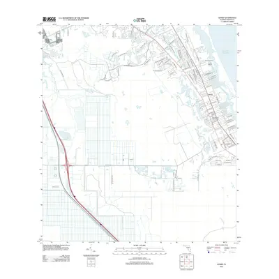
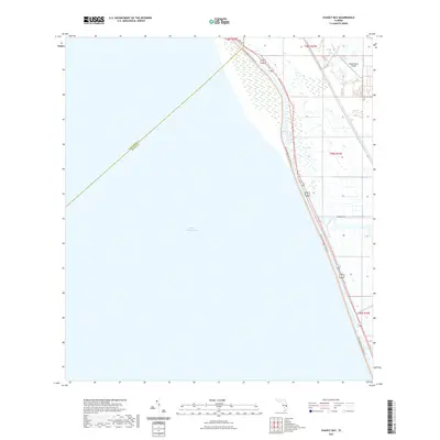
2012 Saint Lucie Inlet
Martin County, FL
2015 Barley Barber Swamp
Martin County, FL
2015 Bluefield
Martin County, FL
2015 Chancy Bay
Martin County, FL
2015 Gomez
Martin County, FL
2015 Indiantown NW
Martin County, FL
2015 Indiantown SE
Martin County, FL
2015 Port Mayaca OE W
Martin County, FL
2015 Saint Lucie Inlet
Martin County, FL
2018 Barley Barber Swamp
Martin County, FL
2018 Bluefield
Martin County, FL
2018 Chancy Bay
Martin County, FL
2018 Gomez
Martin County, FL
2018 Indiantown NW
Martin County, FL
2018 Indiantown SE
Martin County, FL
2018 Port Mayaca OE W
Martin County, FL
2018 Saint Lucie Inlet
Martin County, FL

2021 Barley Barber Swamp
Martin County, FL
2021 Bluefield
Martin County, FL
2021 Chancy Bay
Martin County, FL
2021 Gomez
Martin County, FL
2021 Indiantown NW
Martin County, FL
2021 Indiantown SE
Martin County, FL
2021 Port Mayaca OE W
Martin County, FL

2021 Saint Lucie Inlet
Martin County, FL
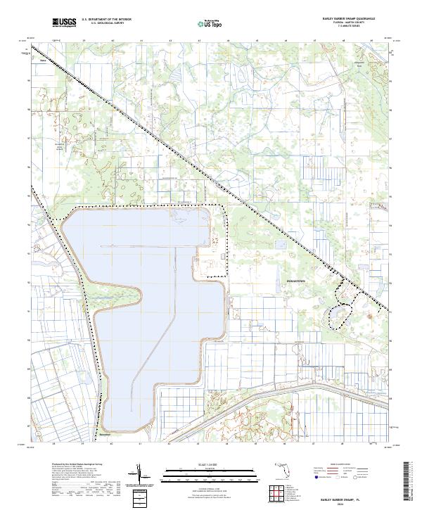
2024 Barley Barber Swamp
Martin County, FL
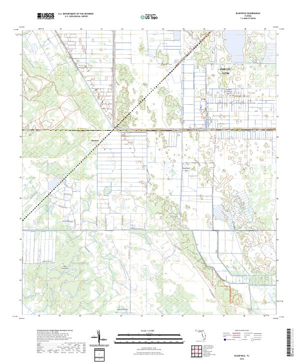
2024 Bluefield
Martin County, FL
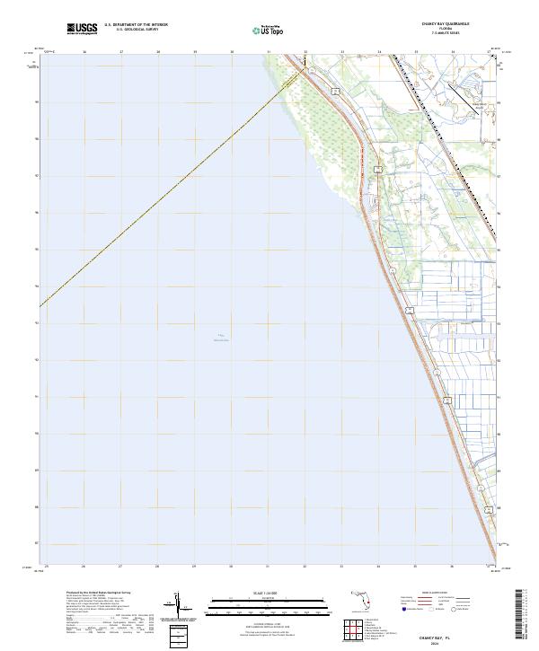
2024 Chancy Bay
Martin County, FL
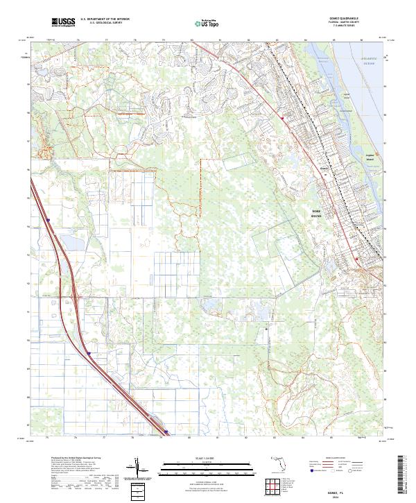
2024 Gomez
Martin County, FL
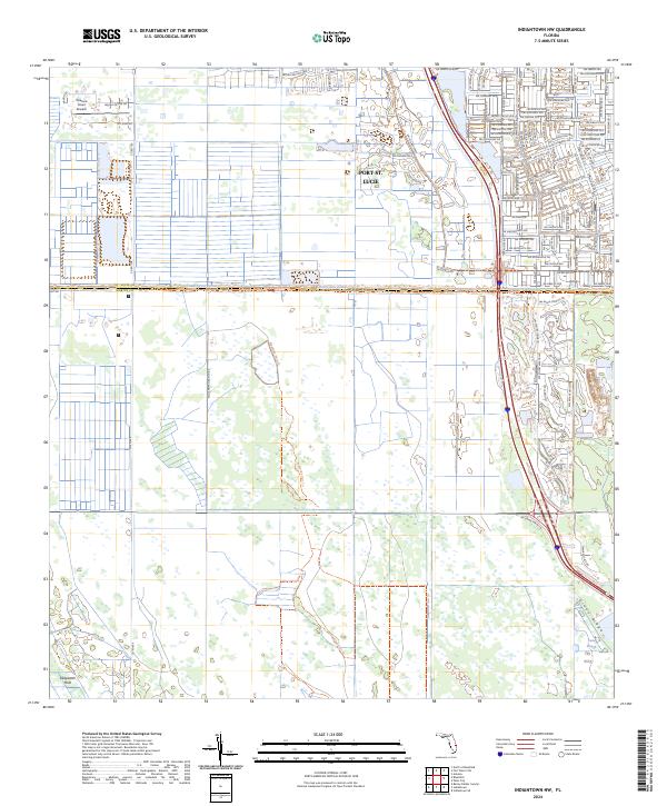
2024 Indiantown NW
Martin County, FL
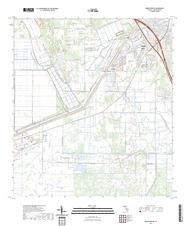
2024 Indiantown SE
Martin County, FL
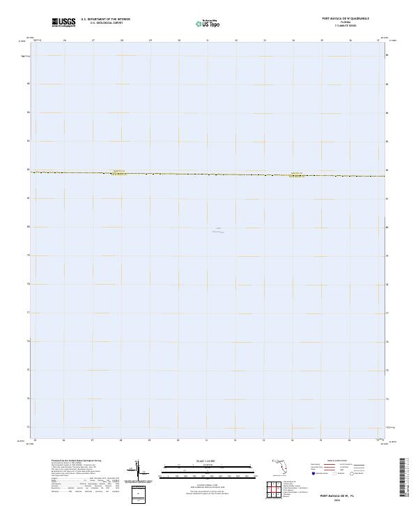
2024 Port Mayaca OE W
Martin County, FL
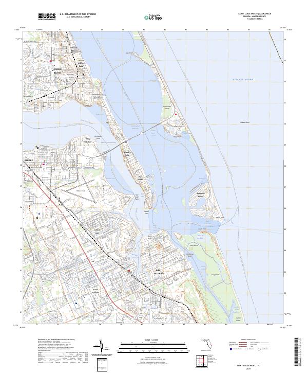
2024 Saint Lucie Inlet
Martin County, FL